
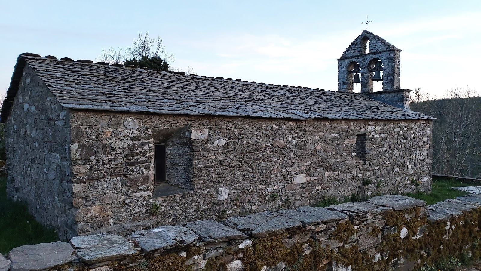
Alto do Poio
Alto do Poio is a small locality situated at the highest point of the Camino de Santiago in the region of Galicia, Spain. At an elevation of 1,330 meters (4,363 feet), it offers breathtaking views of the surrounding mountains and valleys. Historically, Alto do Poio has been a significant point for pilgrims due to its strategic location and the presence of a medieval pilgrim hospital, which provided shelter and care for weary travelers. The area around Alto do Poio has been traversed by pilgrims for centuries, and its importance is marked by the presence of a stone cross, Cruz de Ferro, which is a symbol of the Camino de Santiago. Pilgrims traditionally leave a stone at the base of the cross as a token of their journey and to symbolize the burdens they are leaving behind. Alto do Poio continues to be a significant stop for modern-day pilgrims, offering a sense of accomplishment as they reach the highest point on their journey and a place to rest before continuing their pilgrimage.
Plan this stage in the app
Turn this route data into a practical day plan with live maps, elevation profiles, and stay planning.
- Track your live location on the route map.
- Check distance and elevation before you start.
- Save your preferred stays and book when ready.

Next on the route
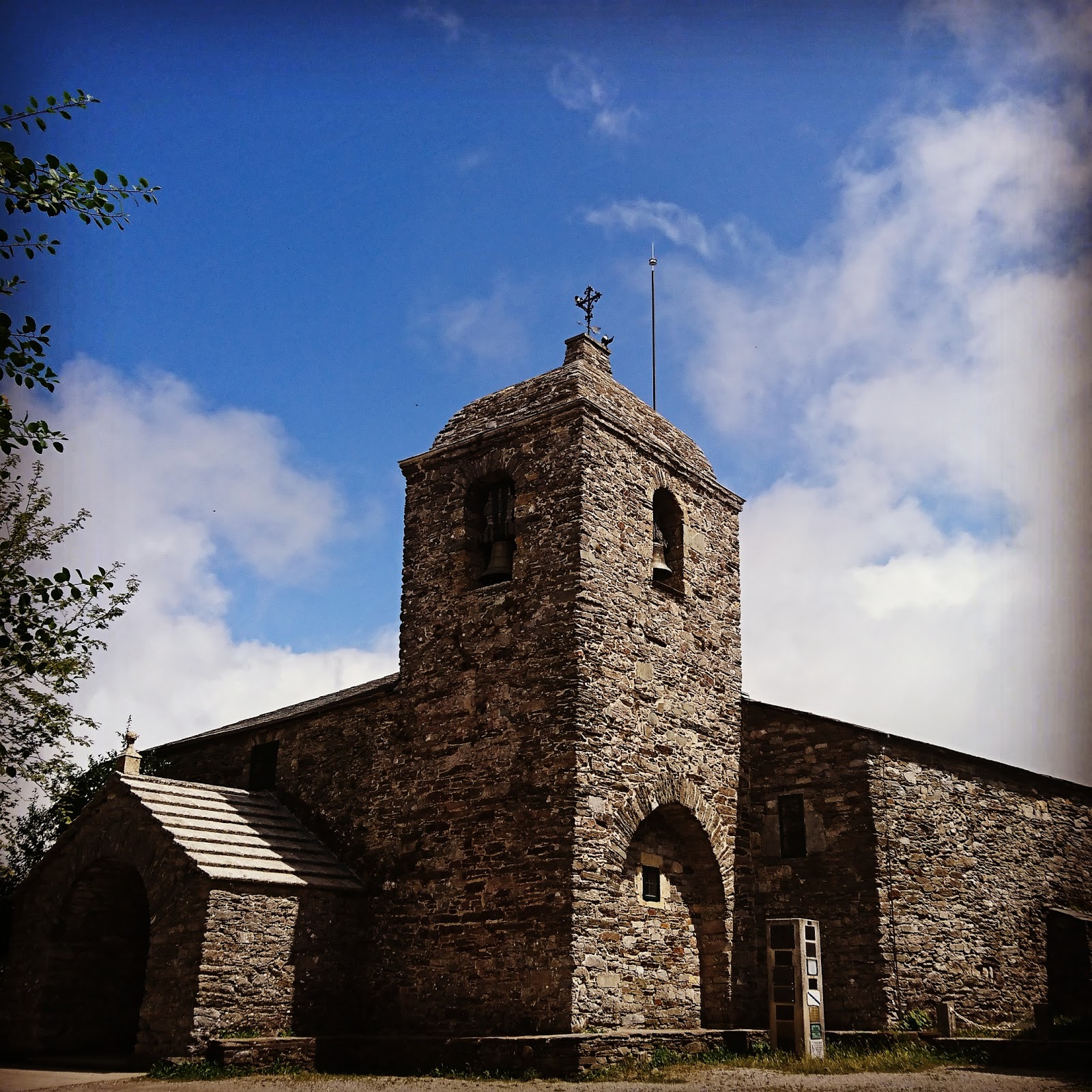
Fonfria
Fonfria is a small village located in the Galician region of Spain. Historically, it has served as a resting point for pilgrims...
Bar / Restaurant
Open Locality Guide Accommodation in Alto do Poio
Compare albergues, hostels, pensions, and hotels in this locality, then book or continue planning in the app.

Hostal Santa Maria do Poio
3.6 / 5 238 reviews
Albergue Poio
3.7 / 5 181 reviews

Albergue del Puerto
3.9 / 5 264 reviews