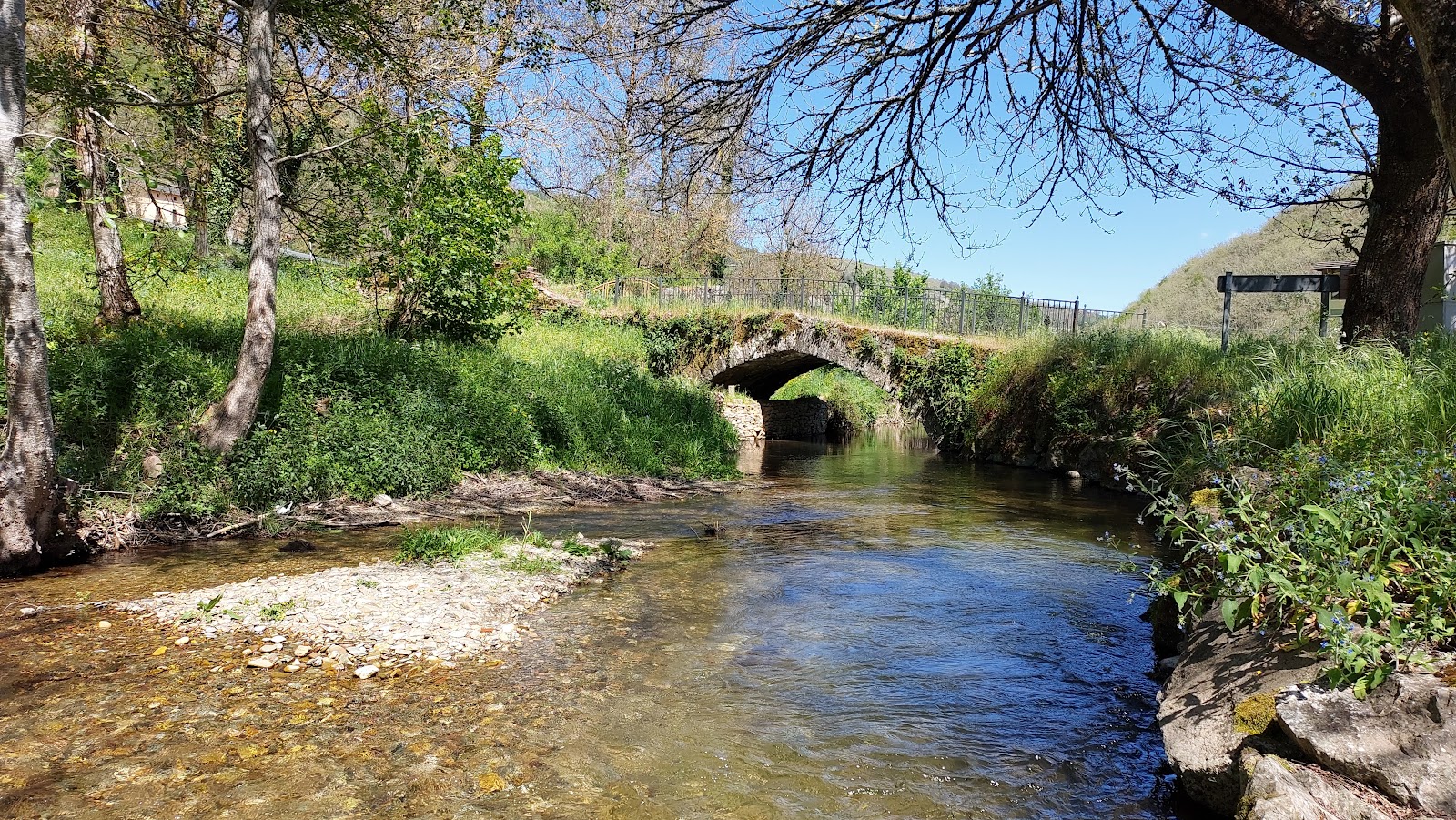
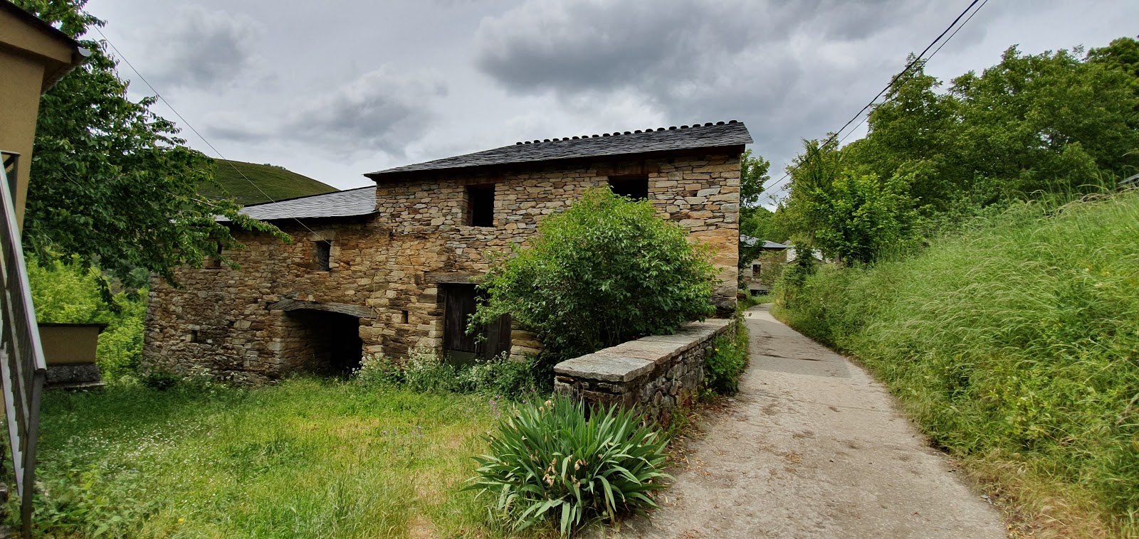
Las Herrerías
Las Herrerías is a small village located in the province of Lugo, in the Galicia region of Spain. Historically, the village has been closely linked to the Camino de Santiago pilgrimage route, as it provided essential services to the pilgrims passing through. Its name, "Las Herrerías," translates to "The Blacksmiths," and this is a nod to the village's past as a center for ironworking and blacksmithing. The local craftsmen were known for producing horseshoes, tools, and other metalwork that were essential for the pilgrims and their horses during their journey. The village has preserved its traditional architecture, with stone houses and narrow streets that reflect its historical character. The Church of San Julián, dating back to the 18th century, is a notable landmark in Las Herrerías, where pilgrims would often stop to pray and rest. Today, the village continues to serve as a resting point for modern-day pilgrims, offering accommodation, food, and other services to those walking the Camino de Santiago.
Plan this stage in the app
Turn this route data into a practical day plan with live maps, elevation profiles, and stay planning.
- Track your live location on the route map.
- Check distance and elevation before you start.
- Save your preferred stays and book when ready.

Next on the route
La Faba
La Faba is a small village located in the region of Galicia, Spain. This quaint hamlet has a rich history dating back to the...
Bar / RestaurantFood Shop
Open Locality Guide Accommodation in Las Herrerías
Compare albergues, hostels, pensions, and hotels in this locality, then book or continue planning in the app.
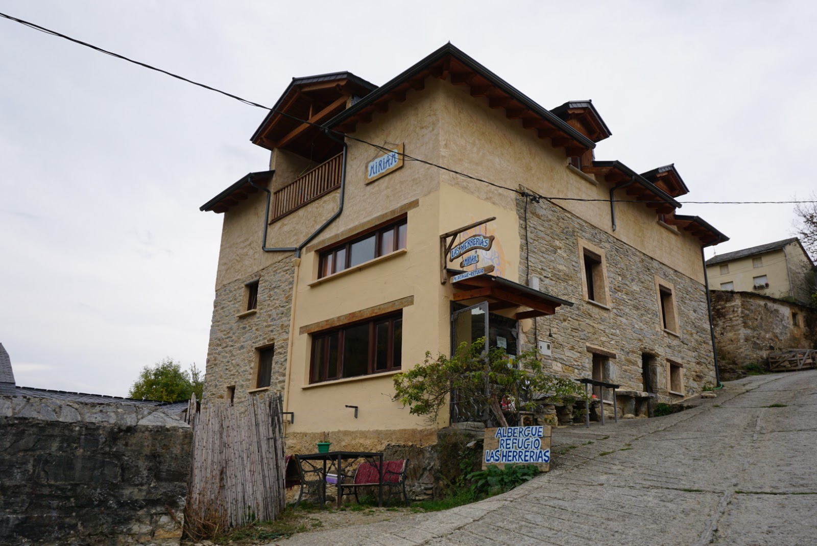
Albergue Las Herrerías - Miriam
4.5 / 5 174 reviews
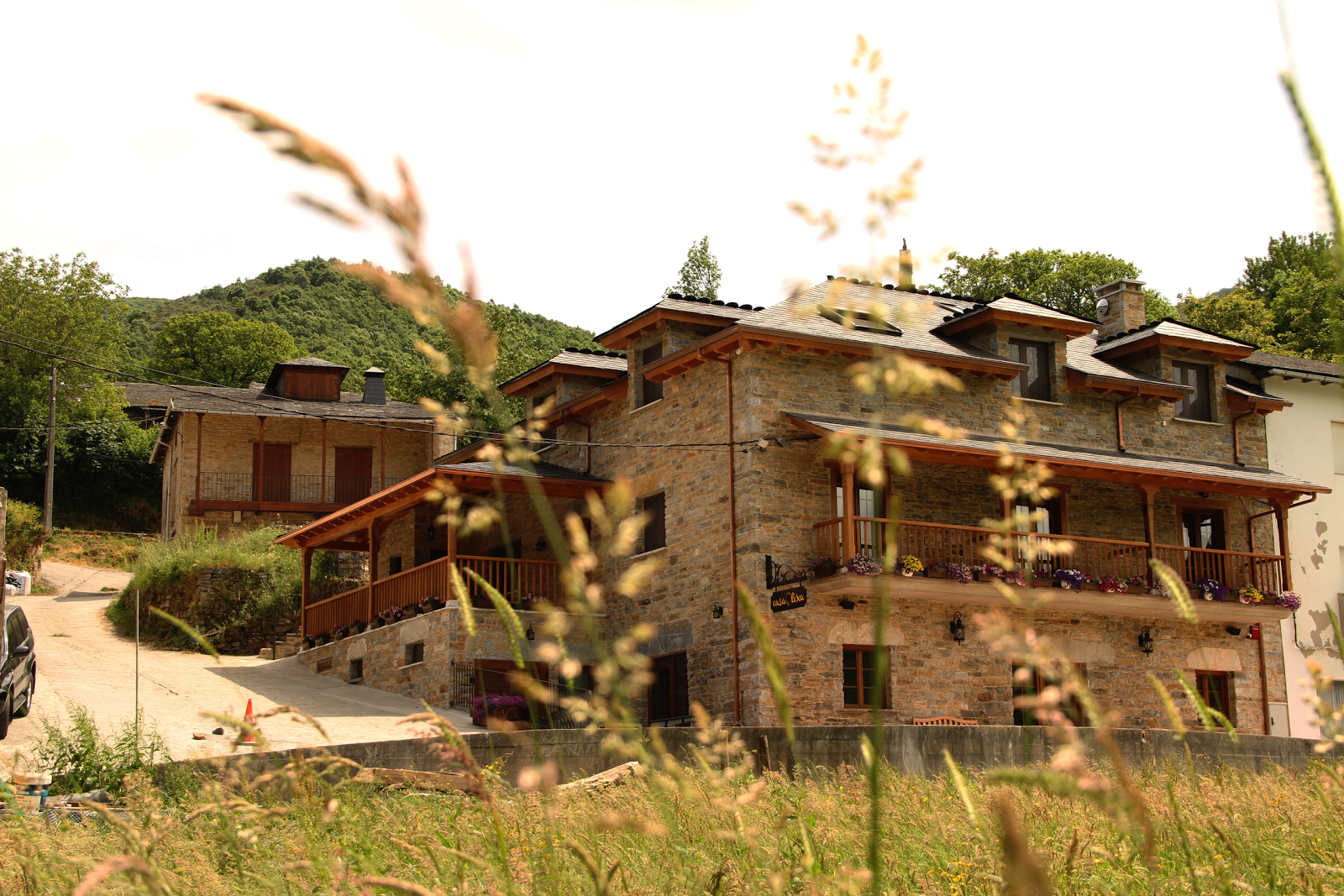
Casa Lixa
4.2 / 5 405 reviews
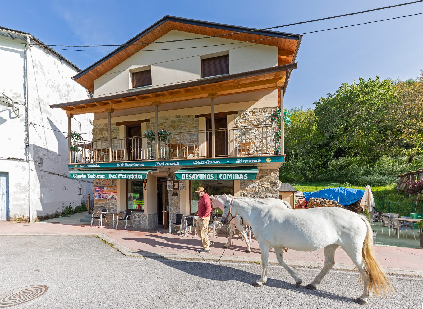
La Pandela
4.7 / 5 467 reviews
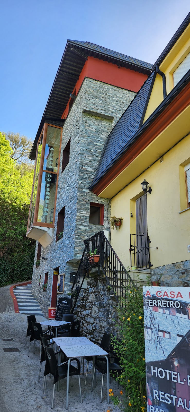
Casa Do Ferreiro - La Fragua
4.6 / 5 62 reviews
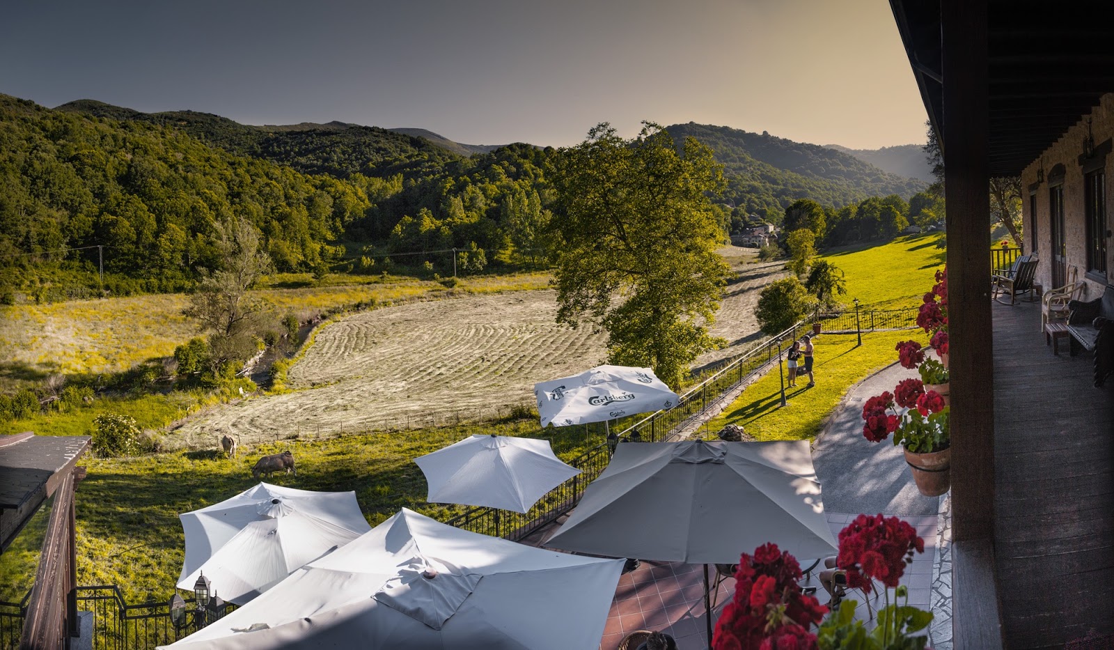
Paraíso del Bierzo
4.5 / 5 576 reviews
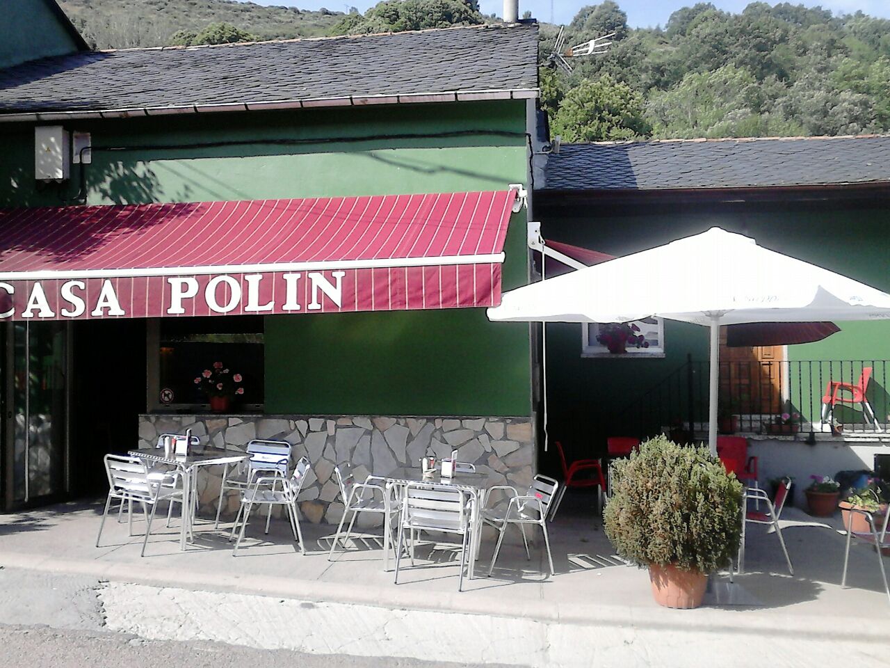
Casa Polin
4.4 / 5 507 reviews
Casa rural LA TORRE recién rehabilitada. - One-Bedroom House
0 0

Casa Polin
4.4 / 5 553 reviews