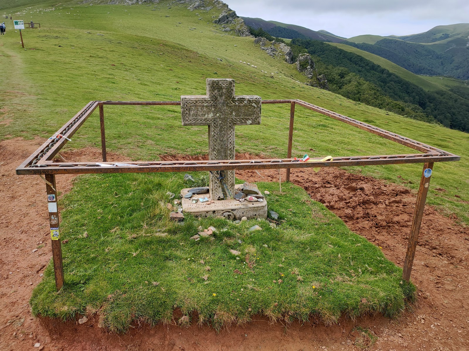
Lepoeder Peak
Lepoeder Peak is a significant point along the Camino de Frances, situated in the Pyrenees Mountains. This peak marks the culmination of the challenging ascent from Saint-Jean-Pied-de-Port and the beginning of the descent towards Roncesvalles. Historically, Lepoeder Peak has been a crucial passage for pilgrims, as it is part of the traditional route known as the "Napoleon Route," which was named after Napoleon Bonaparte, who used this path during his invasion of Spain in the early 19th century. The area surrounding Lepoeder Peak has witnessed countless pilgrims traversing the challenging terrain for centuries, and it has been a significant milestone on their journey to Santiago de Compostela. The breathtaking views from the peak provide a sense of accomplishment and inspiration for those who have overcome the steep climb. Additionally, the peak's location in the Pyrenees serves as a natural border between France and Spain, symbolizing the crossing from one cultural landscape to another on the Camino de Santiago.
Plan this stage in the app
Turn this route data into a practical day plan with live maps, elevation profiles, and stay planning.
- Track your live location on the route map.
- Check distance and elevation before you start.
- Save your preferred stays and book when ready.

Next on the route
Roncesvalles
Roncesvalles, a small village in the Navarre region of Spain, is historically significant for its role in the medieval pilgrimage...
Bar / Restaurant
Open Locality Guide Accommodation in Lepoeder Peak
Compare albergues, hostels, pensions, and hotels in this locality, then book or continue planning in the app.