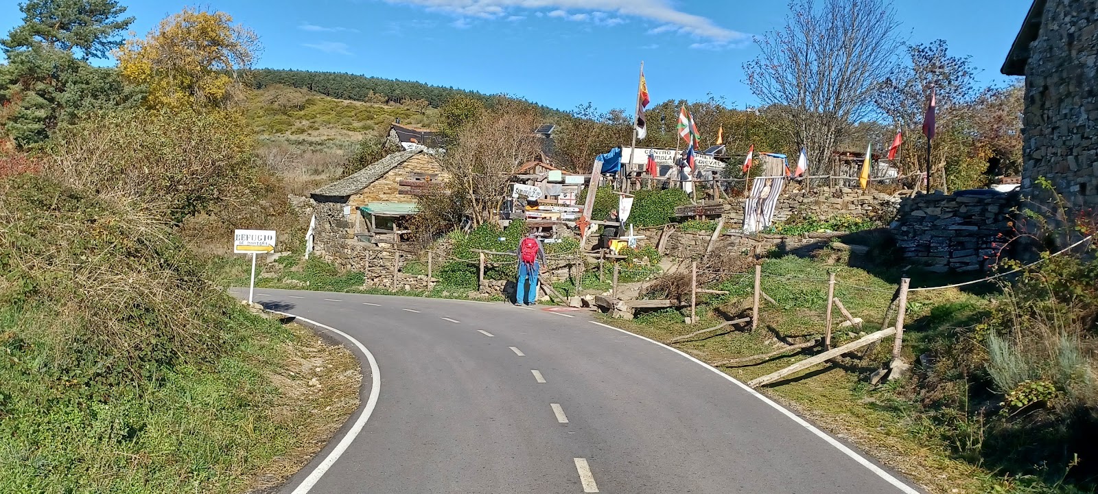
Manjarín
Manjarín is a small, isolated locality on the Camino de Frances, known for its unique character and historical significance. Situated in the Montes de León, it was once a thriving village during the Middle Ages, serving as a resting point for pilgrims traveling to Santiago de Compostela. However, over time, the population dwindled, and the village was eventually abandoned. In the early 1990s, a man named Tomás Martínez Pérez, also known as "El Templario," decided to revive Manjarín as a refuge for pilgrims. He built a simple, rustic albergue, which he named "Refugio Templario," paying homage to the Knights Templar, who were known to protect and assist pilgrims during medieval times. Today, Manjarín is a unique and memorable stop for those walking the Camino, offering a glimpse into the past and a chance to experience the spirit of the ancient pilgrimage route.
Plan this stage in the app
Turn this route data into a practical day plan with live maps, elevation profiles, and stay planning.
- Track your live location on the route map.
- Check distance and elevation before you start.
- Save your preferred stays and book when ready.

Next on the route
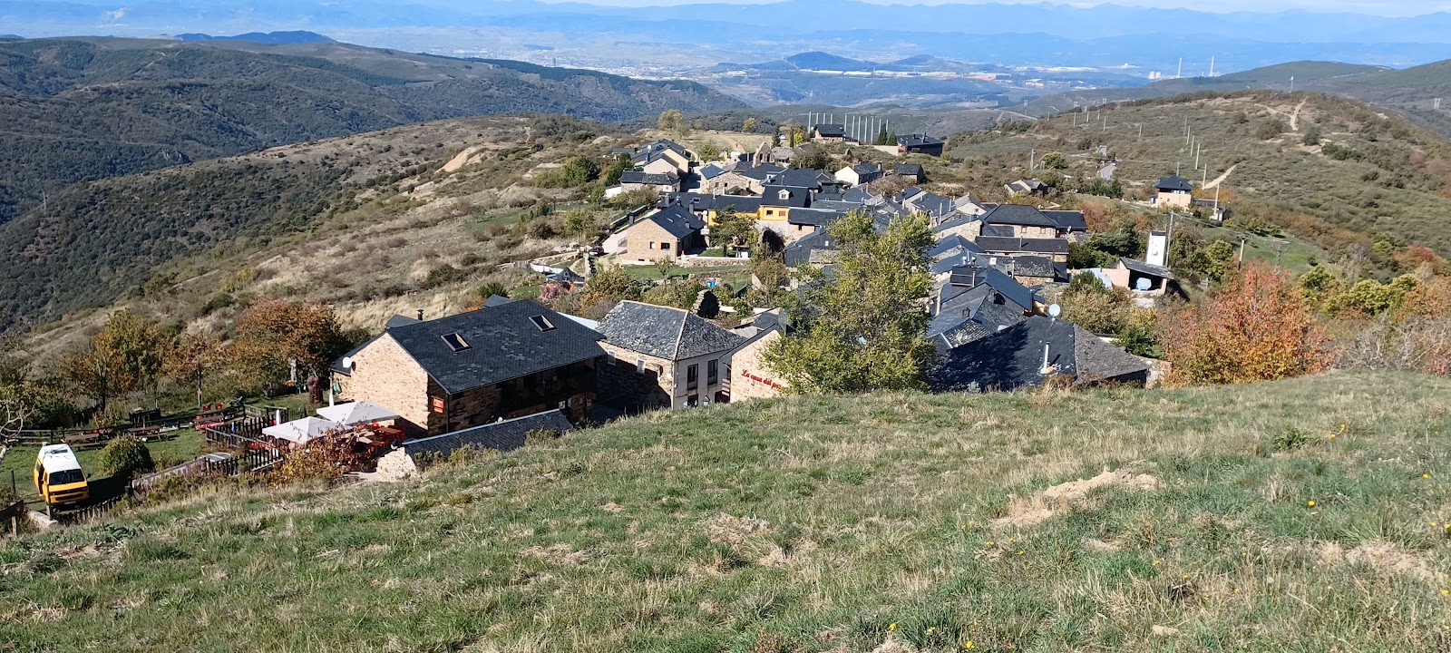
El Acebo
El Acebo is a small, picturesque village located in the Bierzo region of the province of León. Historically, it has been an...
Bar / Restaurant
Open Locality Guide Accommodation in Manjarín
Compare albergues, hostels, pensions, and hotels in this locality, then book or continue planning in the app.