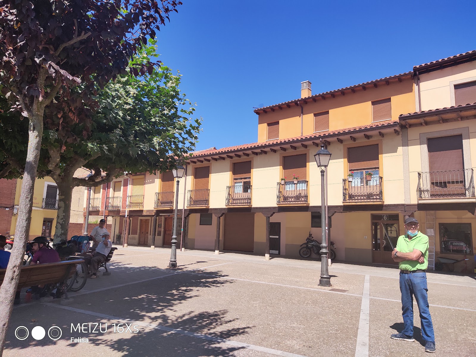
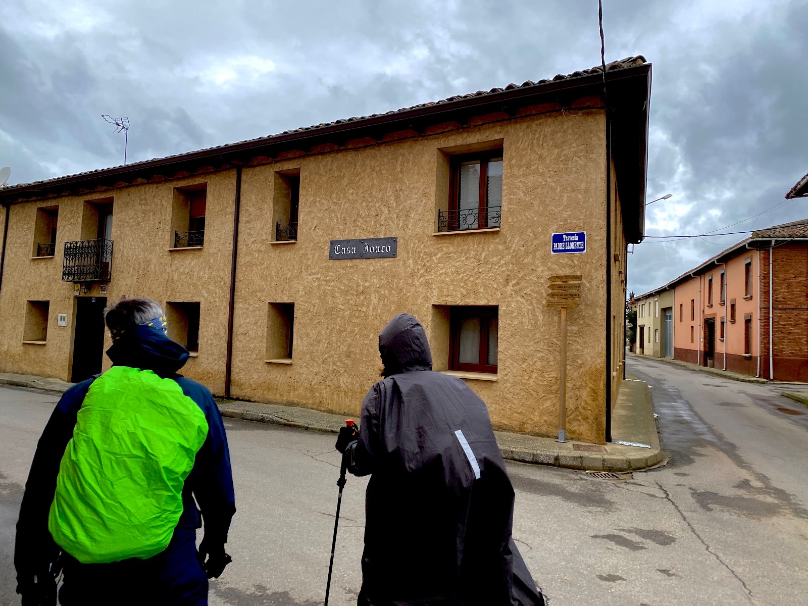
Mansilla de las Mulas
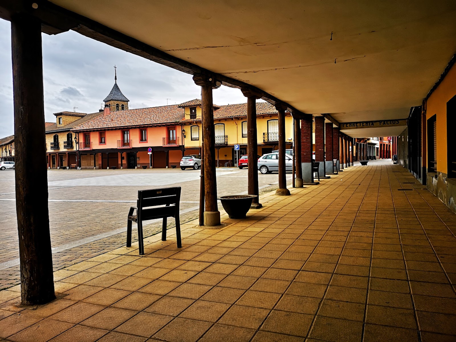
Mansilla de las Mulas is a historic locality on the Camino de Santiago, known for its well-preserved medieval walls and rich history. Founded in the 10th century, the town served as a defensive stronghold during the Reconquista, a period of Christian reconquest against the Moors. The town's name, "Mansilla de las Mulas," is derived from its role as a center for mule trade during the Middle Ages. As a stop on the Camino de Santiago, Mansilla de las Mulas has long provided shelter and services for pilgrims. The town's Santa María Church, built in the 12th century, is a notable example of Romanesque architecture and a testament to the importance of the Camino during that time. Today, Mansilla de las Mulas continues to welcome pilgrims, offering accommodations and amenities to support their journey.
Plan this stage in the app
Turn this route data into a practical day plan with live maps, elevation profiles, and stay planning.
- Track your live location on the route map.
- Check distance and elevation before you start.
- Save your preferred stays and book when ready.

Next on the route

Puente Villarente
Puente Villarente is a small locality along the Camino de Santiago, known for its impressive medieval bridge that spans the Rio...
Bar / RestaurantFood Shop
Open Locality Guide Accommodation in Mansilla de las Mulas
Compare albergues, hostels, pensions, and hotels in this locality, then book or continue planning in the app.

La Pensión de Blanca
4.4 / 5 207 reviews
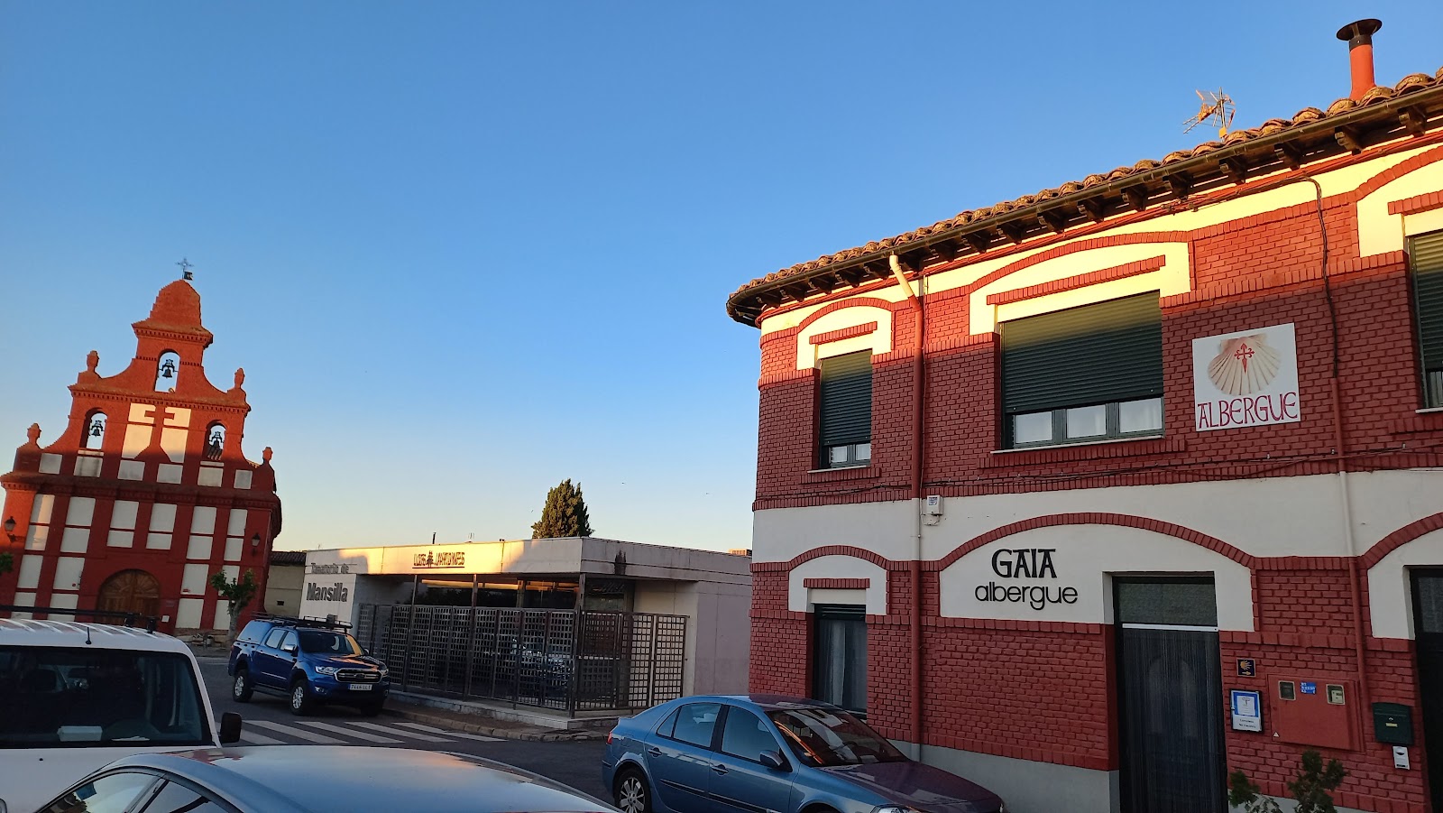
El Albergue de Gaia
4.6 / 5 557 reviews
Albergue El Jardín del Camino
4.0 / 5 1217 reviews
Hotel Rural La Casa de los Soportales
4.4 / 5 273 reviews
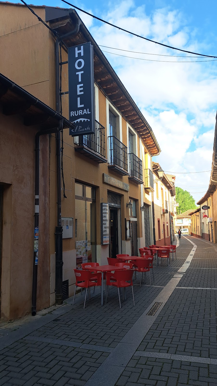
Centro de Turismo Rural El Puente
3.1 / 5 55 reviews
Casa Rural Las Singer
4.2 / 5 19 reviews
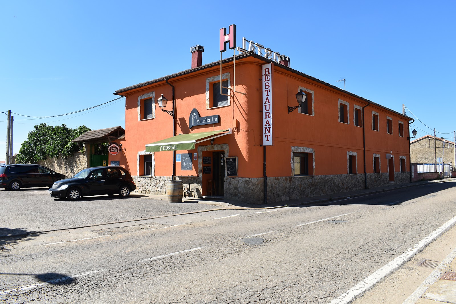
Hostal San Martín
3.6 / 5 99 reviews
Hostal La Alberguería del Camino
4.5 / 5 345 reviews
Guest House Joaco
4.5 / 5 50 reviews
Albergue La Pinguina
5.0 / 5 1 reviews