Orisson
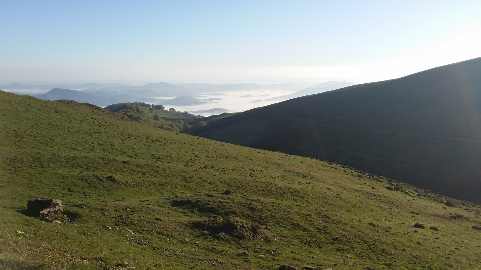
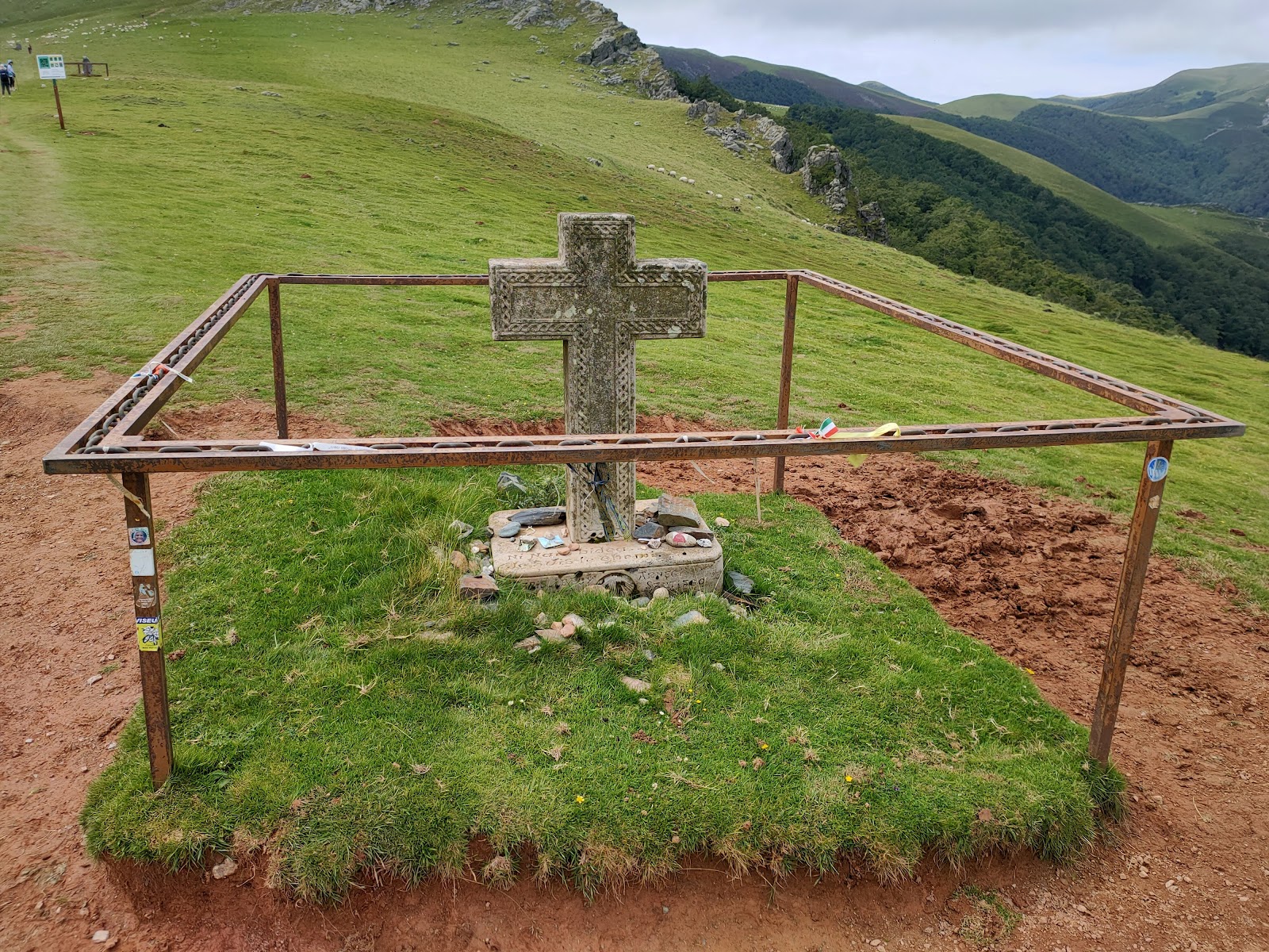
Orisson is a small locality in the Pyrenees Mountains, known for its picturesque setting and challenging terrain. Historically, it has been a significant stopping point for pilgrims on the Camino de Santiago. The area is steeped in history, with the nearby Ibañeta Pass being the site of the Battle of Roncevaux Pass in 778, where the rear-guard of Charlemagne's army, led by Roland, was ambushed by Basque forces. The locality of Orisson offers a refuge for pilgrims to rest and recharge before continuing their journey. This refuge has been serving pilgrims for many years and has become an essential part of the Camino experience. The surrounding landscape is dotted with ancient stone markers and crosses, which serve as reminders of the long history of pilgrimage along this route.
Plan this stage in the app
Turn this route data into a practical day plan with live maps, elevation profiles, and stay planning.
- Track your live location on the route map.
- Check distance and elevation before you start.
- Save your preferred stays and book when ready.

Next on the route
Lepoeder Peak
Lepoeder Peak is a significant point along the Camino de Frances, situated in the Pyrenees Mountains. This peak marks the...
Open Locality GuideAccommodation in Orisson
Compare albergues, hostels, pensions, and hotels in this locality, then book or continue planning in the app.
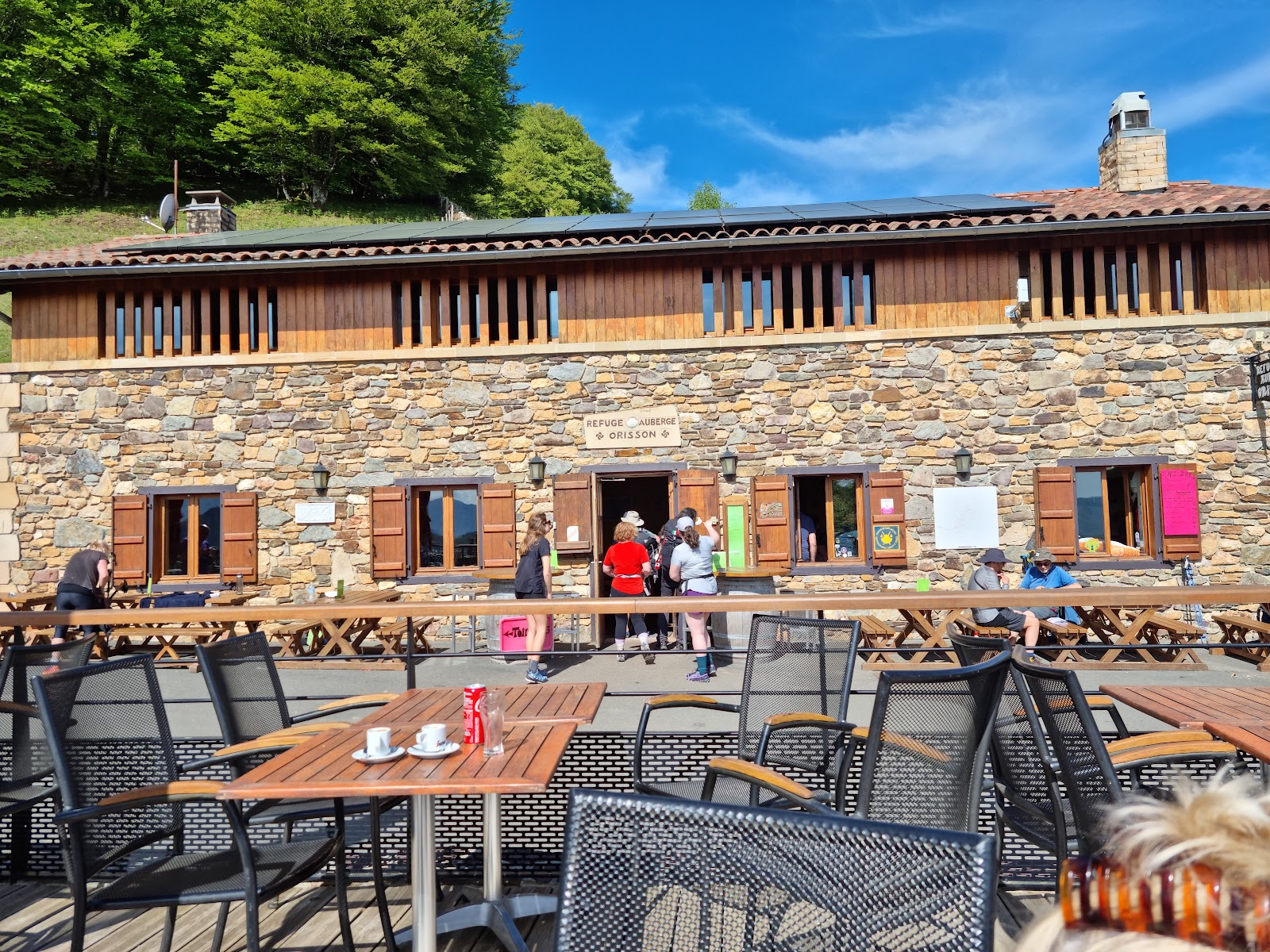
Refuge Orisson
4.1 / 5 497 reviews
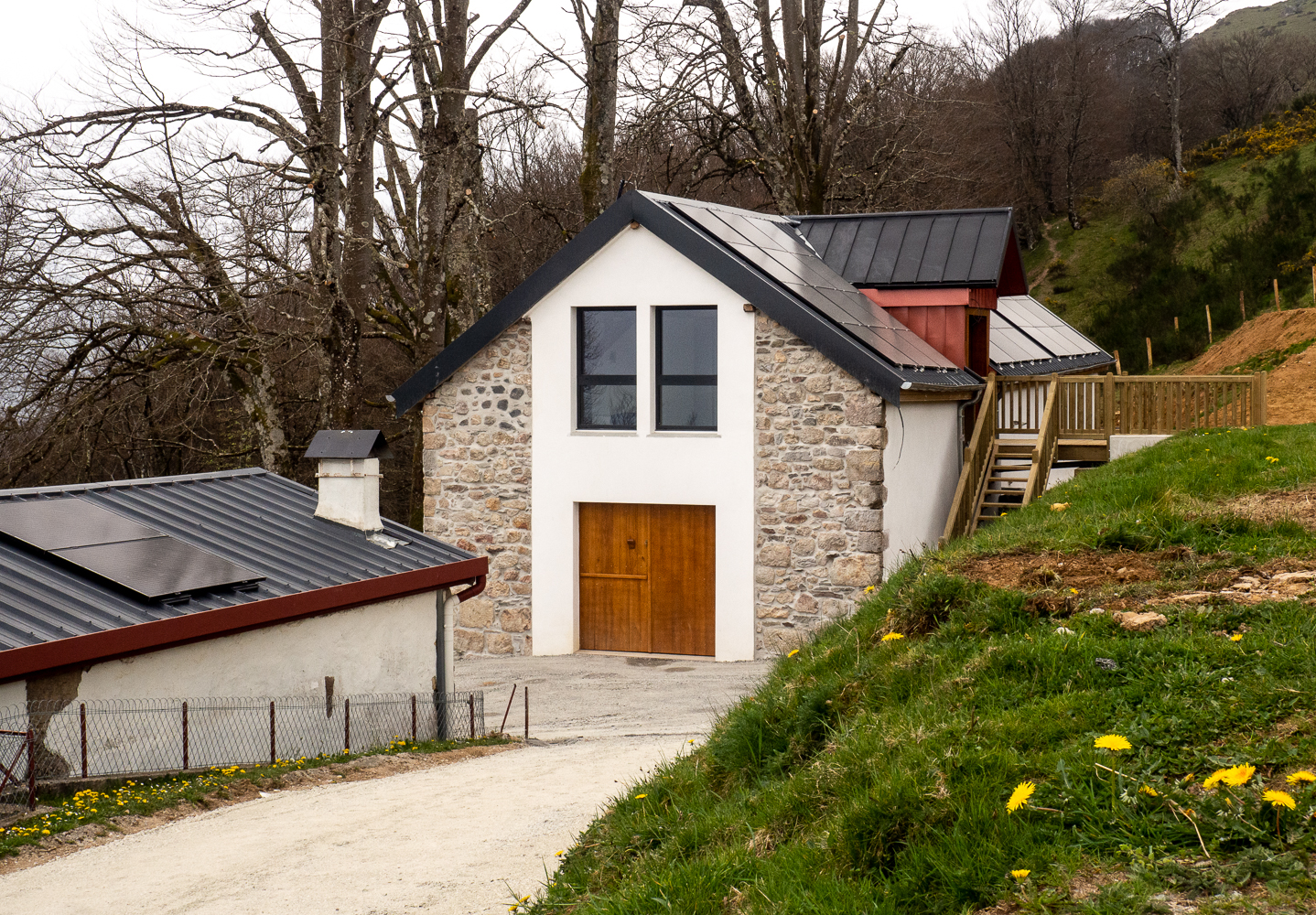
Auberge Borda
4.9 / 5 715 reviews