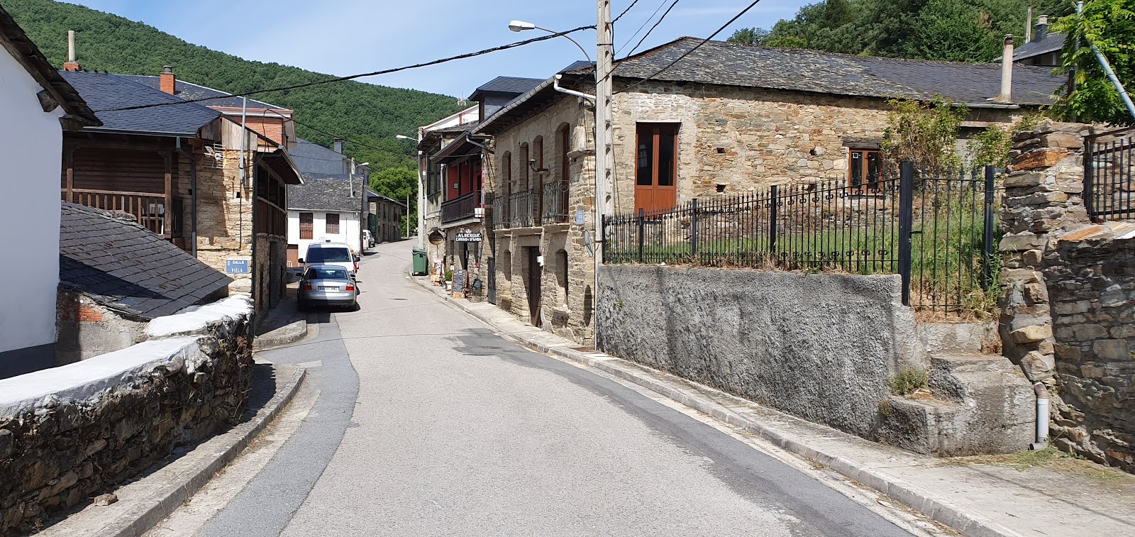
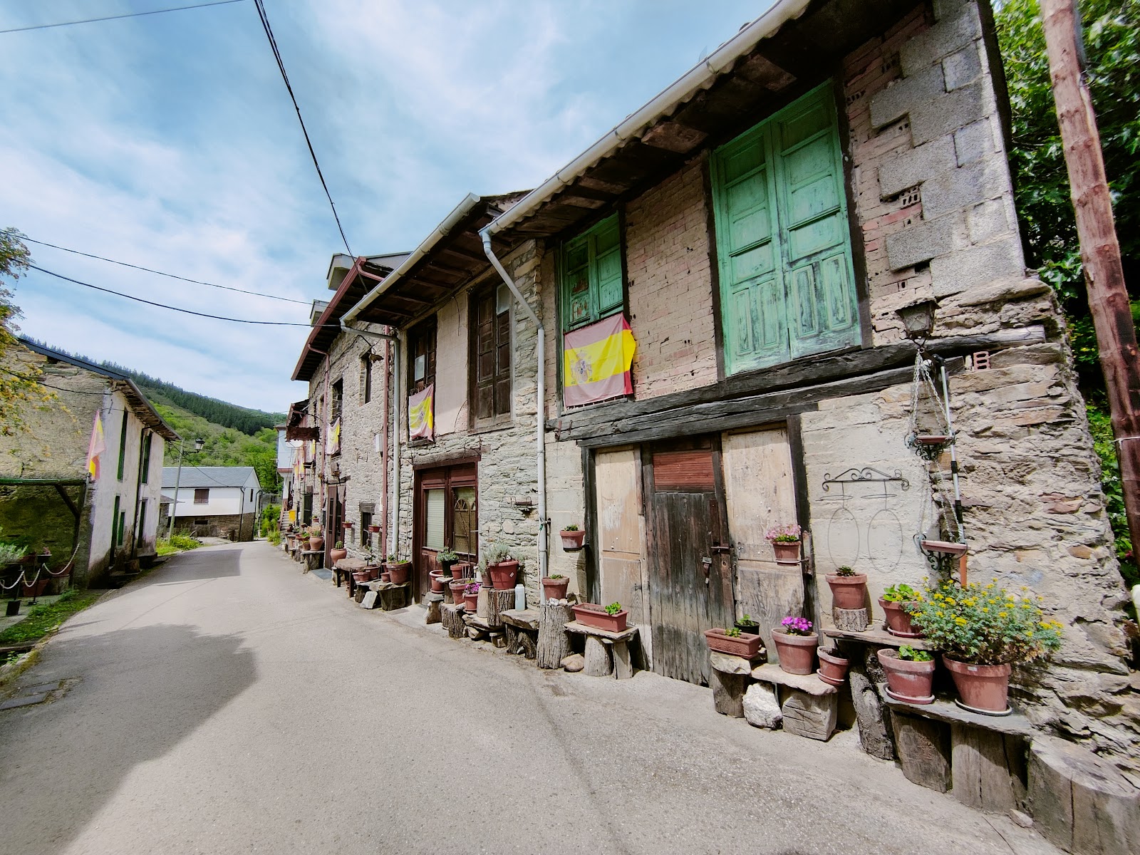
Pereje
Pereje is a small village with historical significance on the Camino de Frances. It is nestled in the Bierzo region, which is known for its fertile landscapes and vineyards. The village dates back to the 10th century and was once an important resting place for pilgrims due to its strategic location near the River Valcarce. Historically, Pereje was home to a hospital for pilgrims, founded by Doña Sancha, the sister of Alfonso VI, in the 11th century. The hospital provided care and shelter for weary travelers on their way to Santiago de Compostela. Though the original hospital no longer exists, the village still retains its hospitable nature, offering accommodation and services to modern-day pilgrims. The Church of San Juan Bautista, a modest stone structure, is a notable landmark in Pereje, serving as a reminder of the village's long-standing connection to the Camino de Santiago.
Plan this stage in the app
Turn this route data into a practical day plan with live maps, elevation profiles, and stay planning.
- Track your live location on the route map.
- Check distance and elevation before you start.
- Save your preferred stays and book when ready.

Next on the route
Trabadelo
Trabadelo is a small village in the province of León, Spain, with a rich history related to the Camino de Santiago. The village...
Bar / RestaurantFood Shop
Open Locality Guide Accommodation in Pereje
Compare albergues, hostels, pensions, and hotels in this locality, then book or continue planning in the app.
Pereje Garden
4.4 / 5 16 reviews

Pereje Garden
4.4 / 5 16 reviews