
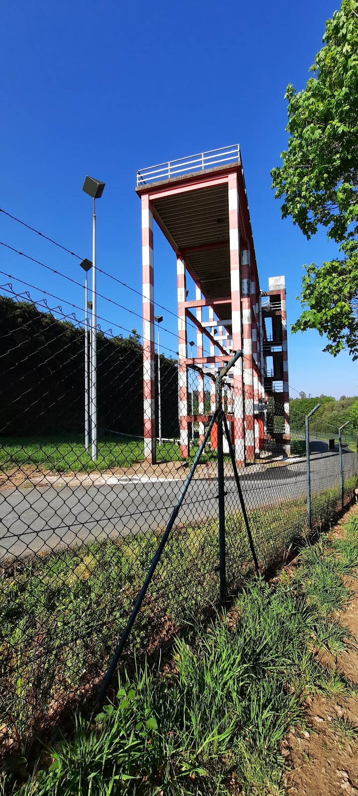
San Paio
Pilgrim guide to San Paio on Frances.
Plan this stage in the app
Turn this route data into a practical day plan with live maps, elevation profiles, and stay planning.
- Track your live location on the route map.
- Check distance and elevation before you start.
- Save your preferred stays and book when ready.
Next on the route
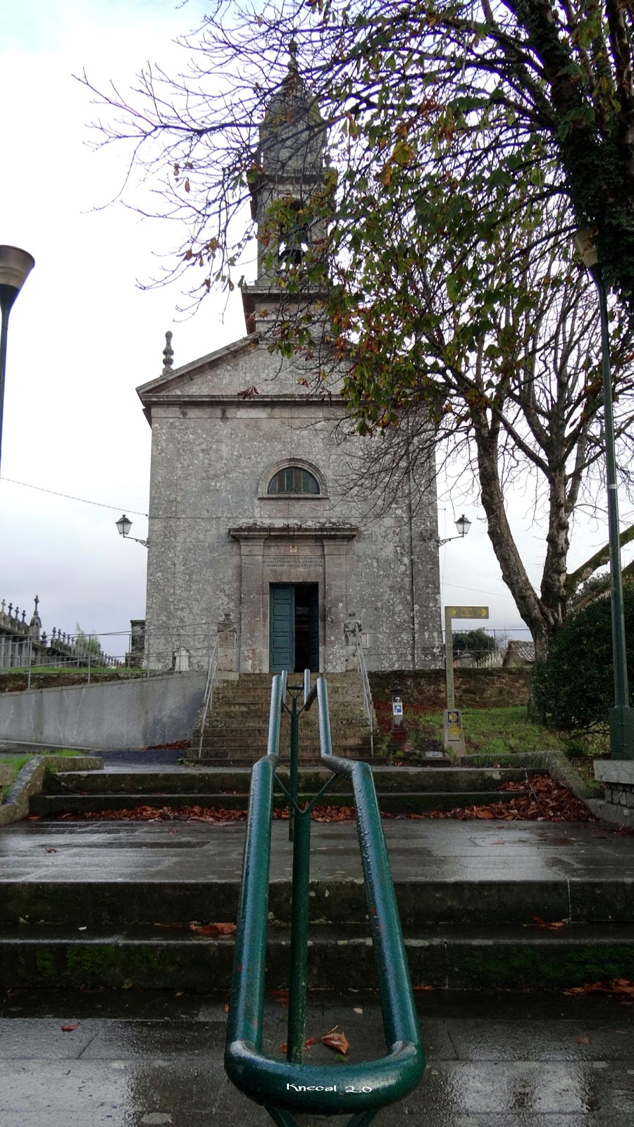
Lavacolla
Lavacolla is a small village with historical significance for pilgrims on the Camino de Santiago. Its name is derived from the...
Open Locality GuideAccommodation in San Paio
Compare albergues, hostels, pensions, and hotels in this locality, then book or continue planning in the app.