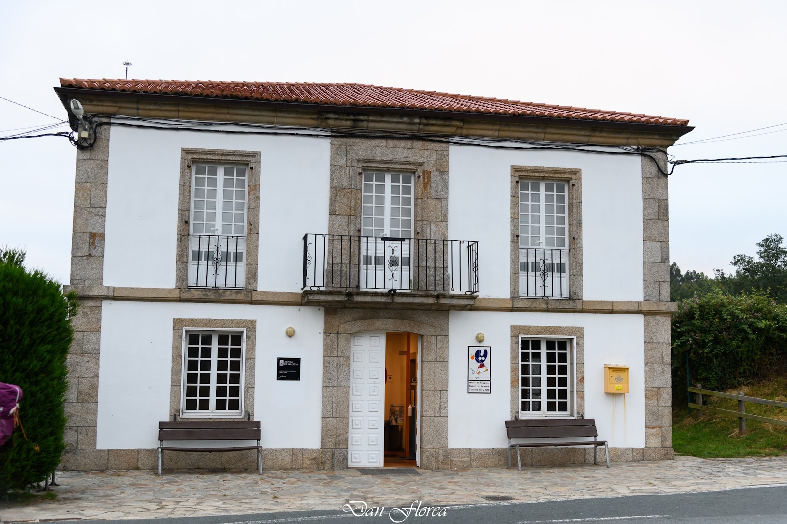
Santa Irene
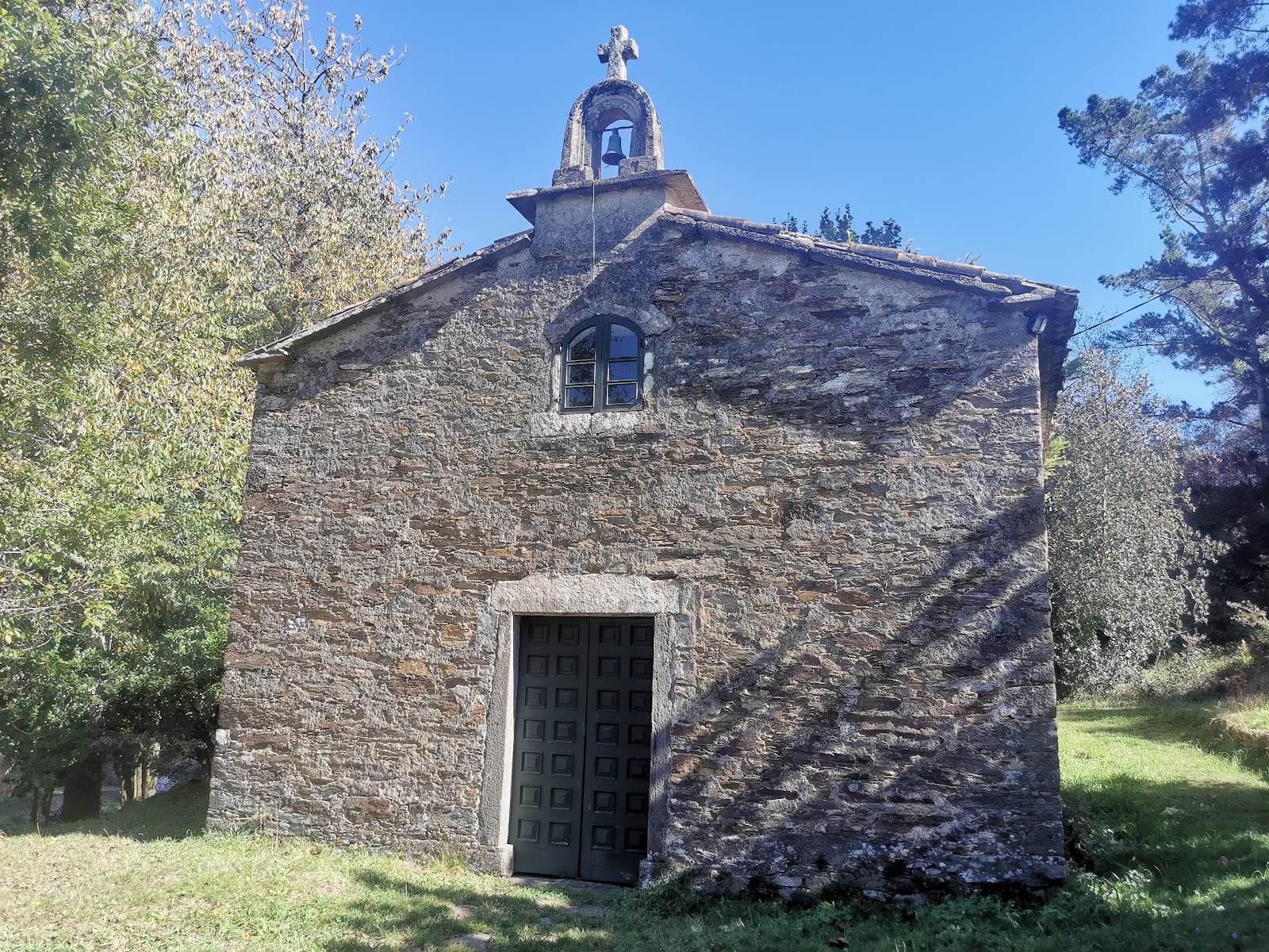
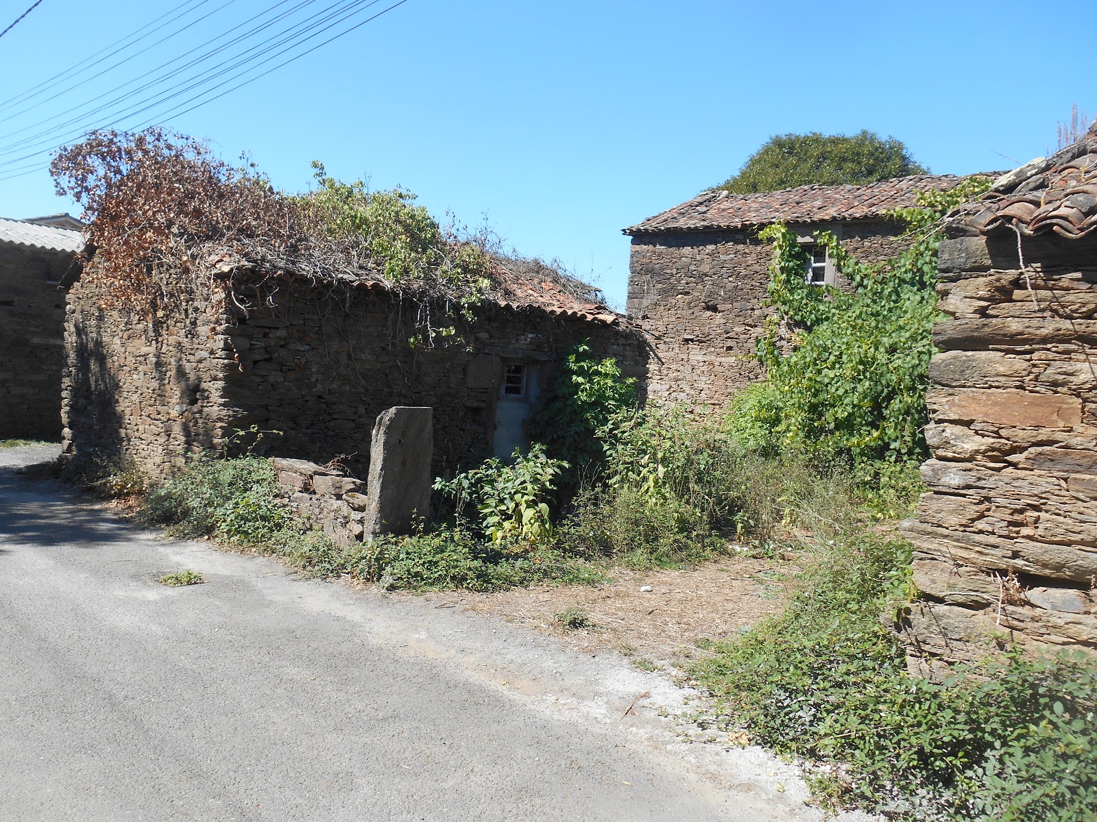
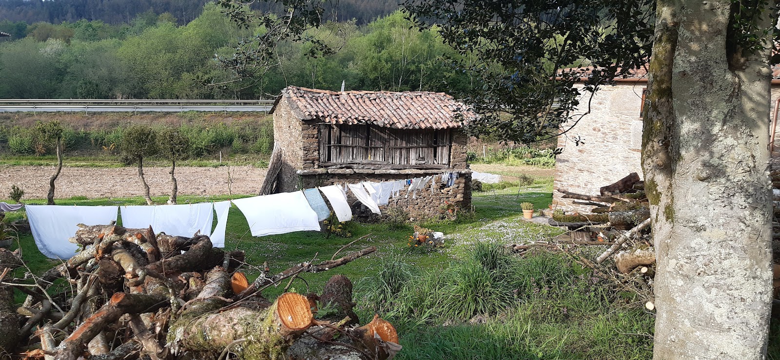
Santa Irene is a small locality along the Camino de Frances, known for its picturesque surroundings and tranquil atmosphere. Historically, Santa Irene was a significant resting point for pilgrims due to its strategic location between the towns of Arzúa and Pedrouzo. The area is named after Saint Irene of Tomar, a Portuguese saint who was martyred in the 7th century. One of the main historical features in Santa Irene is its chapel, the Capilla de Santa Irene, which was built in the 18th century. The chapel is dedicated to Saint Irene and houses a beautiful Baroque altarpiece. The locality also has a pilgrim's hostel, providing essential services for modern-day pilgrims. The natural setting and historical significance of Santa Irene make it a memorable stop along the Camino de Frances.
Plan this stage in the app
Turn this route data into a practical day plan with live maps, elevation profiles, and stay planning.
- Track your live location on the route map.
- Check distance and elevation before you start.
- Save your preferred stays and book when ready.

Next on the route
A Rua
Pilgrim guide to A Rua on Frances.
Open Locality GuideAccommodation in Santa Irene
Compare albergues, hostels, pensions, and hotels in this locality, then book or continue planning in the app.
Alojamiento Santa Irene
4.5 / 5 157 reviews
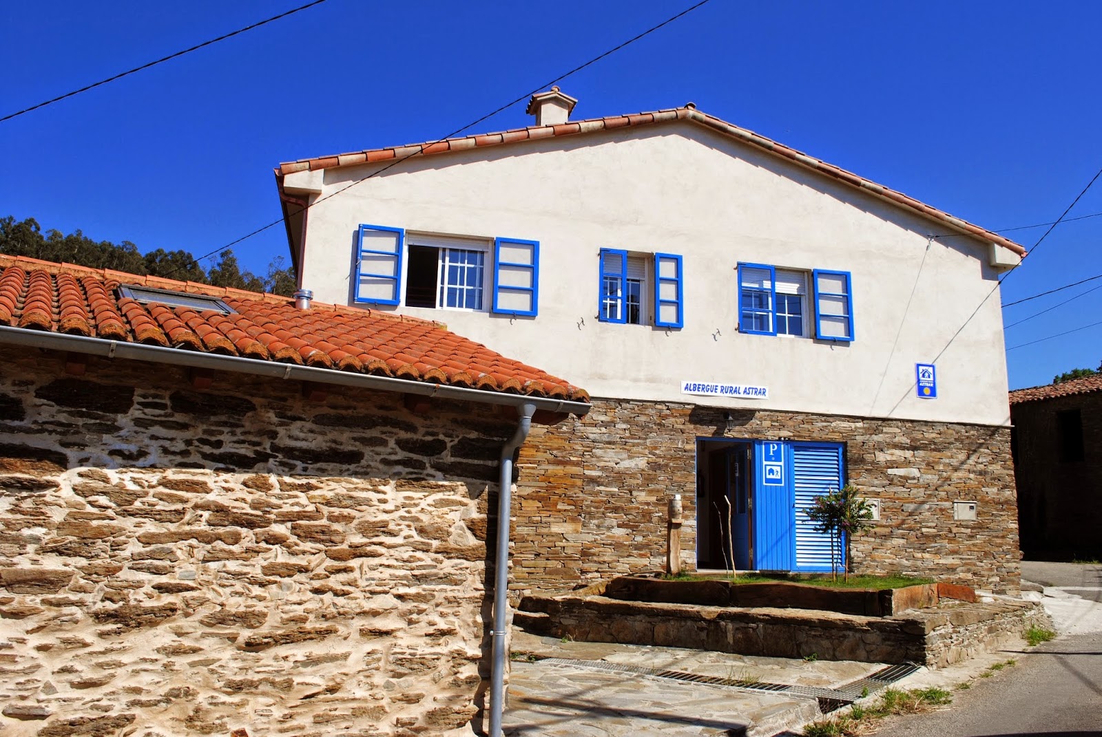
Albergue Rural Astrar
4.6 / 5 247 reviews
Albergue de peregrinos de Santa Irene
4.1 / 5 123 reviews