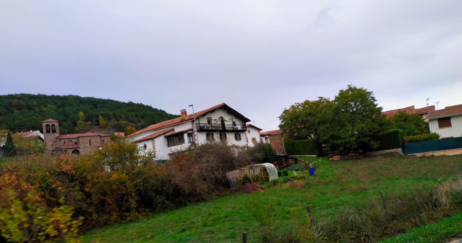
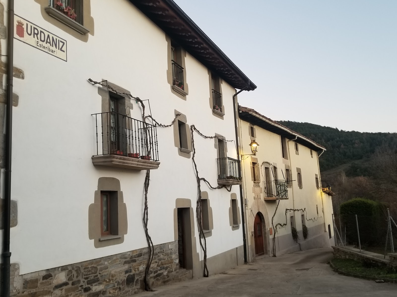
Urdániz
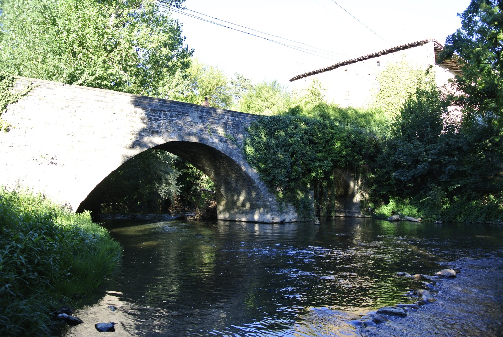
The stage is characterized by its beautiful natural landscapes, including the Arga River, which pilgrims will cross via a medieval bridge. The Camino Francés starts in Saint-Jean-Pied-de-Port, France, and spans approximately 780 kilometers across northern Spain, ending at the Cathedral of Santiago de Compostela, where the remains of Saint James the Apostle are believed to be buried. The stage passing through Urdániz has been used by pilgrims for centuries, as they journeyed through the diverse landscapes of Navarre. The region is known for its rich history, with many remnants of the past still visible today, such as the medieval bridge over the Arga River. The small village of Urdániz offers a glimpse into the rural life of the Navarre region and provides a peaceful setting for pilgrims to rest and reflect on their spiritual journey.
Plan this stage in the app
Turn this route data into a practical day plan with live maps, elevation profiles, and stay planning.
- Track your live location on the route map.
- Check distance and elevation before you start.
- Save your preferred stays and book when ready.

Next on the route
Larrasoaña
Larrasoaña is a small village with a rich history dating back to the Middle Ages. It was originally founded as a defensive...
Bar / RestaurantFood Shop
Open Locality Guide Accommodation in Urdániz
Compare albergues, hostels, pensions, and hotels in this locality, then book or continue planning in the app.
Casa Gilenzar
4.4 / 5 15 reviews

Alojamientos Acá Y Allá Urdaniz
4.7 / 5 251 reviews
Alojamientos Acá Y Allá Urdaniz
4.7 / 5 251 reviews