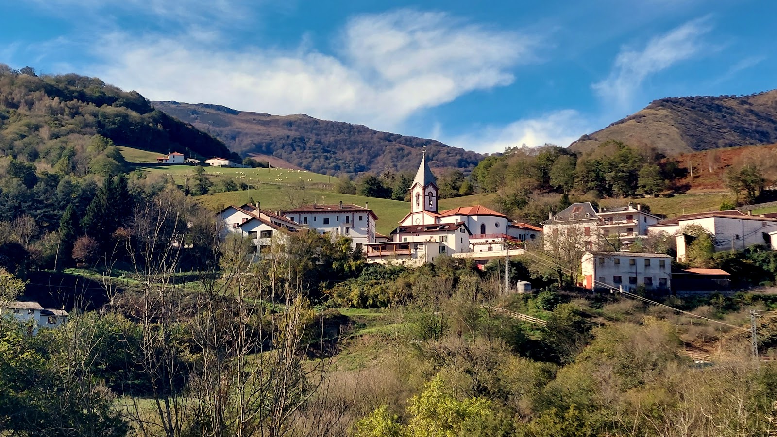
Valcarlos
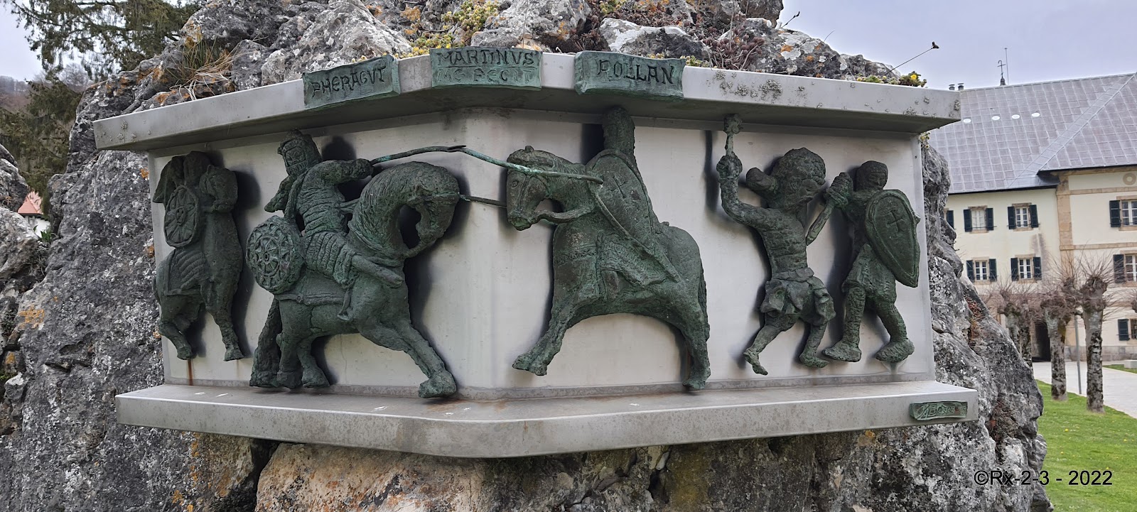
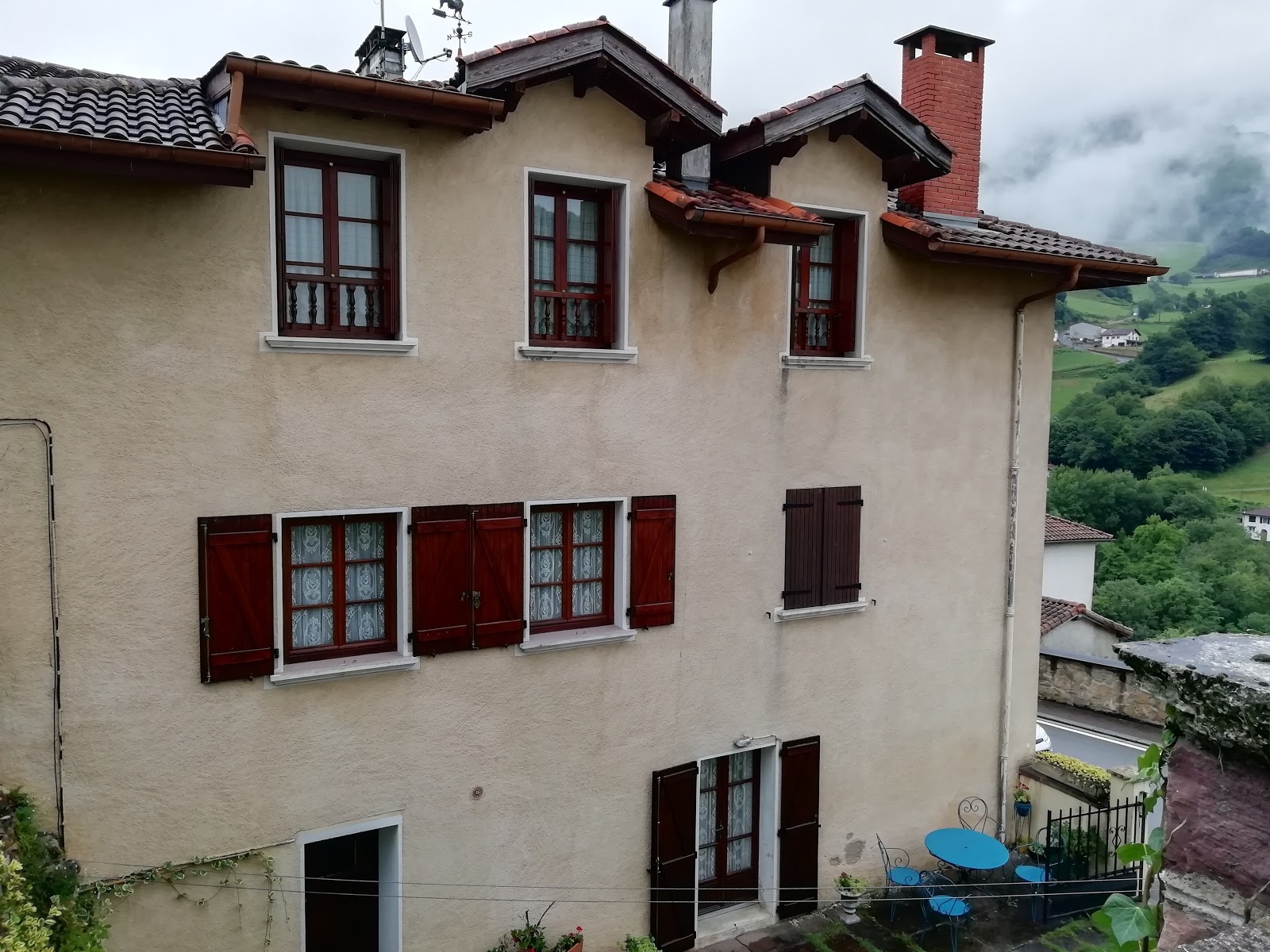
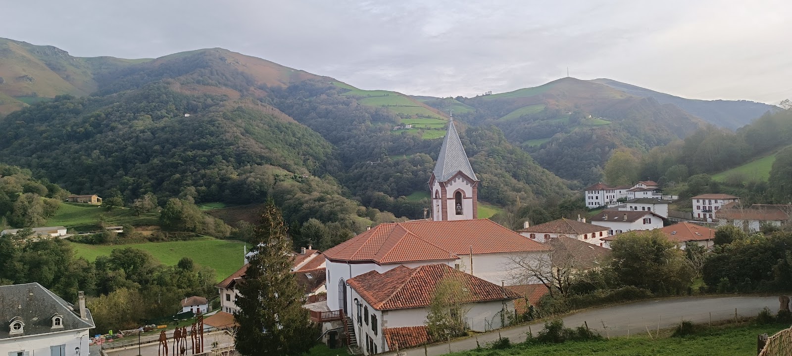
Valcarlos is a small village nestled in the Pyrenees mountains, near the border between Spain and France. Historically, this village played a significant role as an alternative route for pilgrims on the Camino de Santiago during the Middle Ages. The Valcarlos route, also known as the Route of Charlemagne, was often chosen by those who wished to avoid the more challenging and exposed Napoleon Route over the Pyrenees. The village's name, Valcarlos, translates to "Valley of Charles" in English, and it is believed to be named in honor of Charlemagne, the first Holy Roman Emperor. According to legend, Charlemagne's army suffered a devastating defeat in the Battle of Roncevaux Pass in 778 AD, which took place near Valcarlos. The battle was immortalized in the epic poem "The Song of Roland," and the memory of this event has contributed to the historical significance of Valcarlos as a locality on the Camino de Santiago.
Plan this stage in the app
Turn this route data into a practical day plan with live maps, elevation profiles, and stay planning.
- Track your live location on the route map.
- Check distance and elevation before you start.
- Save your preferred stays and book when ready.

Next on the route
Roncesvalles
Roncesvalles, a small village in the Navarre region of Spain, is historically significant for its role in the medieval pilgrimage...
Bar / Restaurant
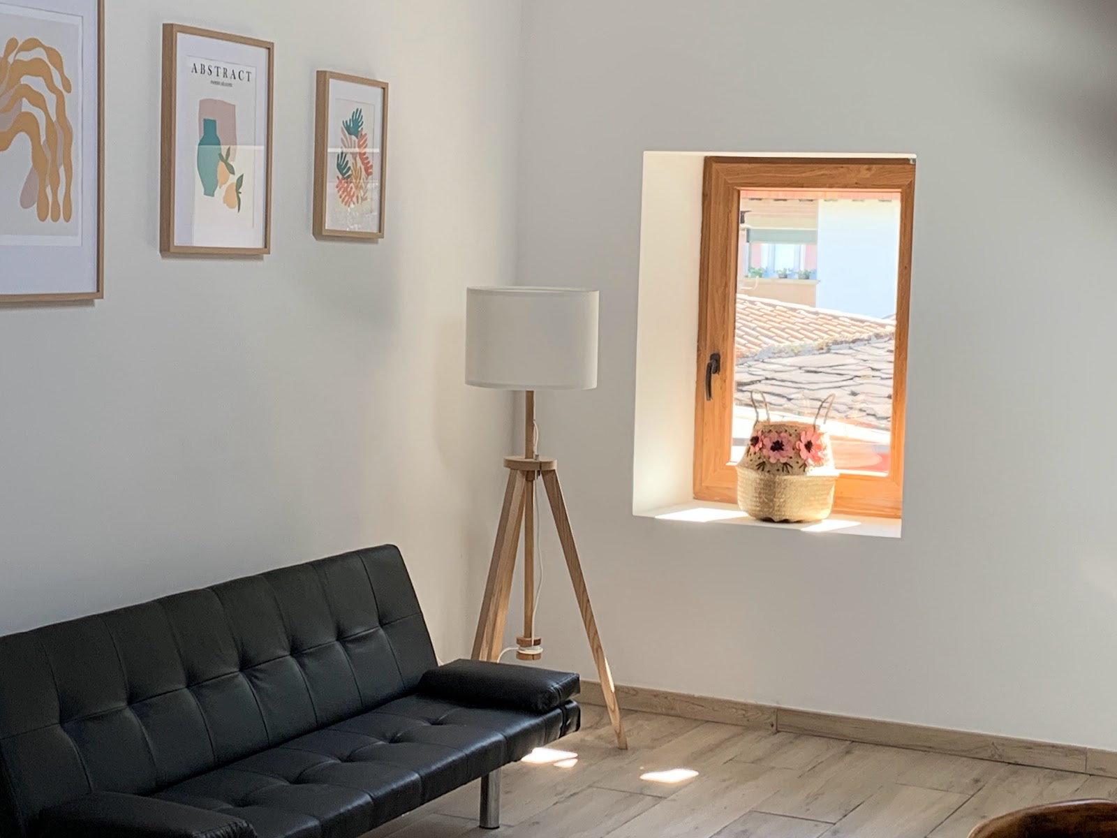
Open Locality Guide Accommodation in Valcarlos
Compare albergues, hostels, pensions, and hotels in this locality, then book or continue planning in the app.
Apartamentos De Montaña Mendiola - Casa Ferran
4.3 / 5 142 reviews
Casas rurales ETXEZURIA
4.0 / 5 63 reviews
Bidandaenea
4.7 / 5 3 reviews
Albergue de Peregrinos de Valcarlos-Luzaide
3.7 / 5 52 reviews
Casa Karrikaburu
4.3 / 5 24 reviews
Hostal camino de Santiago
4.3 / 5 15 reviews
Casa Ferran, amplias habitaciones y apartamentos de montaña - Penthouse Apartment (4 Adults)
0 0
Pensión Etxeale
4.9 / 5 60 reviews
Casa karrikaburu, acogedores apartamentos rodeados de naturaleza - Apartment
0 0
CASA RURAL TOKI ONA
Etxezuria
ERREKA XILO
0 0