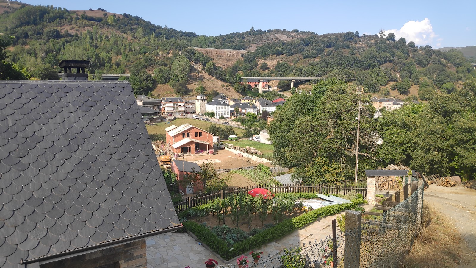
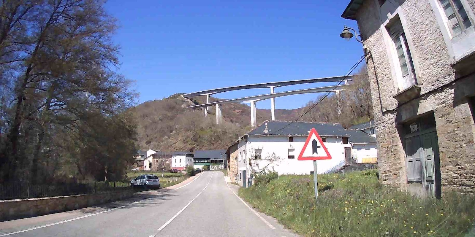
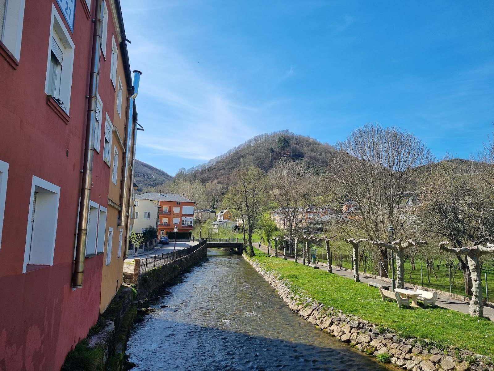
Vega de Valcarce
Vega de Valcarce is a picturesque locality nestled in the Valcarce Valley, surrounded by lush green mountains. Historically, this area has been a significant passageway for pilgrims due to its strategic location along the Camino de Santiago. The valley's name, Valcarce, is derived from the Latin "Vallis Carceris," meaning "Valley of the Prison," which refers to the ancient Roman fortifications that once guarded the valley. During the Middle Ages, Vega de Valcarce became an essential resting point for weary pilgrims, as it provided them with shelter, food, and other essential services. The Hospital de San Giraldo de Aurillac, founded by Giraldo de Aurillac in the 9th century, was one of the earliest establishments in the area dedicated to serving the needs of the pilgrims. The locality's historical significance is further highlighted by the presence of several medieval bridges, such as the Puente de San Giraldo, which facilitated the crossing of the Valcarce River for the pilgrims.
Plan this stage in the app
Turn this route data into a practical day plan with live maps, elevation profiles, and stay planning.
- Track your live location on the route map.
- Check distance and elevation before you start.
- Save your preferred stays and book when ready.

Next on the route
Ruitelán
Ruitelán is a small hamlet located along the Camino de Santiago, known for its historical and natural beauty. In the past,...
Bar / RestaurantFood Shop
Open Locality Guide Accommodation in Vega de Valcarce
Compare albergues, hostels, pensions, and hotels in this locality, then book or continue planning in the app.
Pensión Fernández
4.9 / 5 319 reviews

Albergue El Paso
4.9 / 5 457 reviews
Casa Rural El Recanto
4.7 / 5 118 reviews
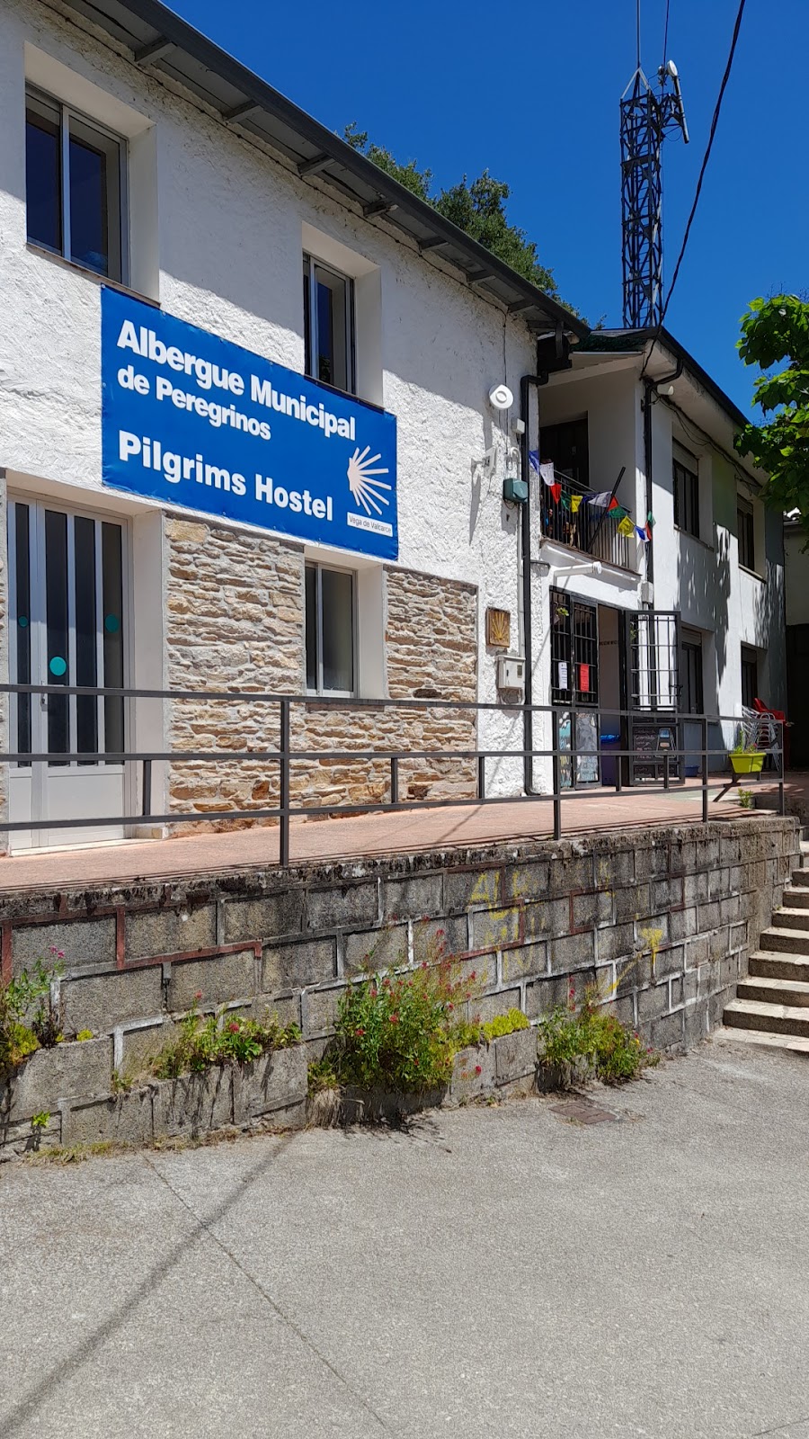
Albergue de peregrinos de Vega de Valcarce
4.6 / 5 44 reviews
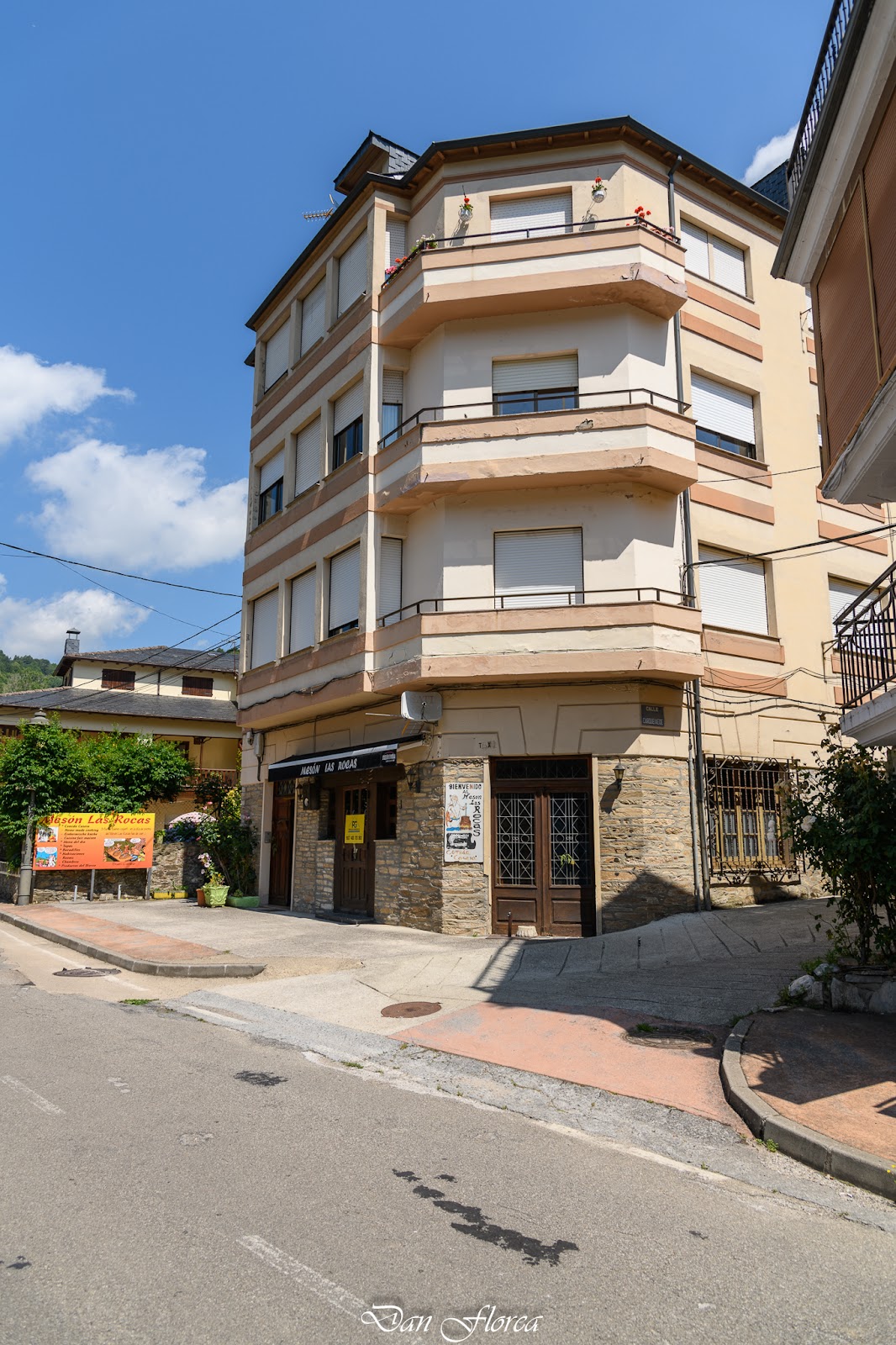
LAS ROCAS
4.4 / 5 112 reviews
Casa Rural Pandelo ( Alquiler Completo maximo 4 plazas)
4.8 / 5 31 reviews
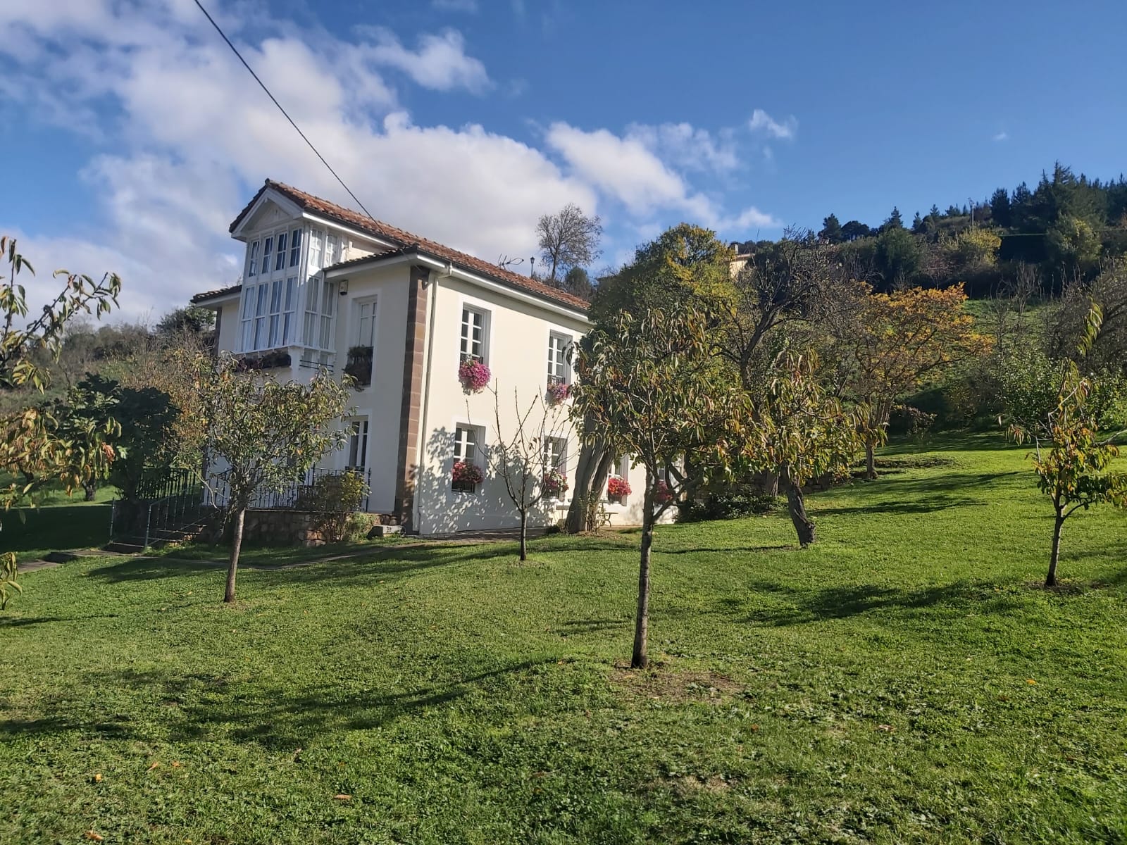
Casa Rural El Recanto
4.7 / 5 118 reviews