Villadangos del Páramo
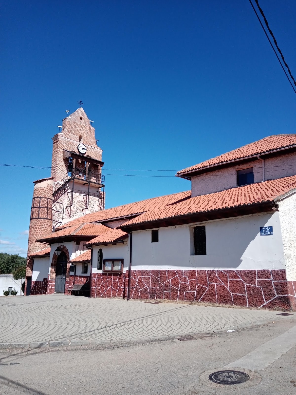
Villadangos del Páramo is a small Spanish town in the province of León, situated on the Camino de Santiago. Historically, it was a significant resting point for pilgrims due to its strategic location on the Páramo Leones, a vast, flat plateau. The town's name is derived from the Latin "Villa de Angos," which means "village of the meadows," reflecting the fertile lands that surround it. In the Middle Ages, Villadangos del Páramo was under the jurisdiction of the Knights Hospitaller, a Christian military order that provided protection and assistance to pilgrims traveling the Camino de Santiago. The town's church, Iglesia de San Juan Bautista, dates back to the 12th century and is an example of Romanesque architecture. The church's tower was added in the 18th century and features a Baroque style. Today, Villadangos del Páramo continues to serve as a rest stop for pilgrims, offering accommodation and services to support their journey.
Plan this stage in the app
Turn this route data into a practical day plan with live maps, elevation profiles, and stay planning.
- Track your live location on the route map.
- Check distance and elevation before you start.
- Save your preferred stays and book when ready.

Next on the route
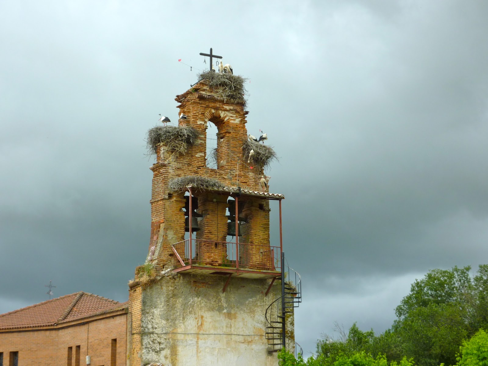
San Martin del Camino
San Martin del Camino is a small village with historical significance for pilgrims traveling the Camino de Santiago. Its origins...
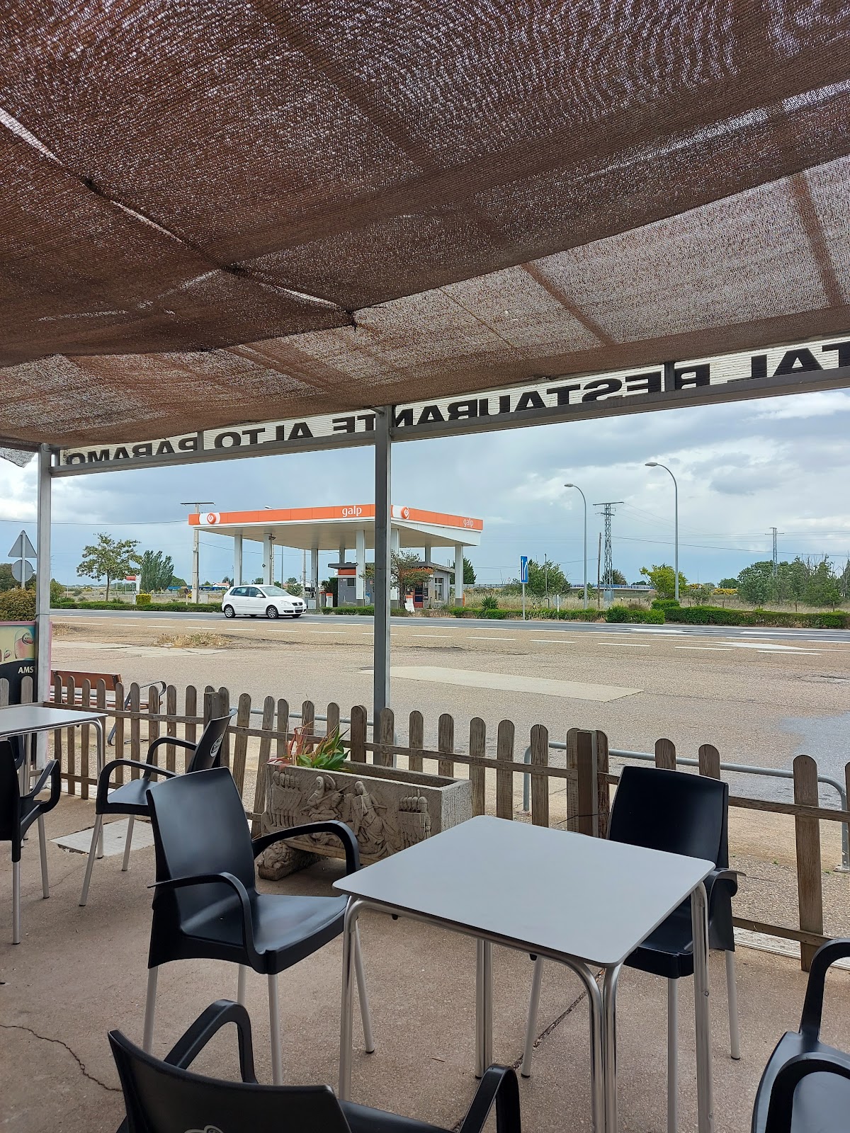
Bar / Restaurant
Open Locality Guide Accommodation in Villadangos del Páramo
Compare albergues, hostels, pensions, and hotels in this locality, then book or continue planning in the app.
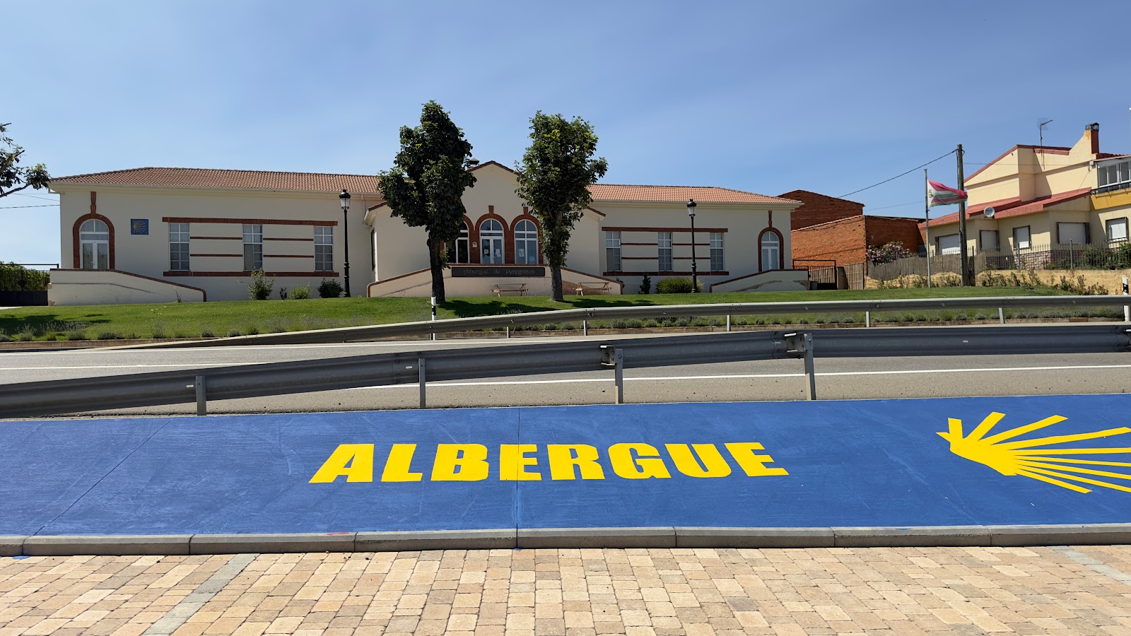
Albergue de Peregrinos Municipal de "Villadangos del Páramo"
4.2 / 5 373 reviews
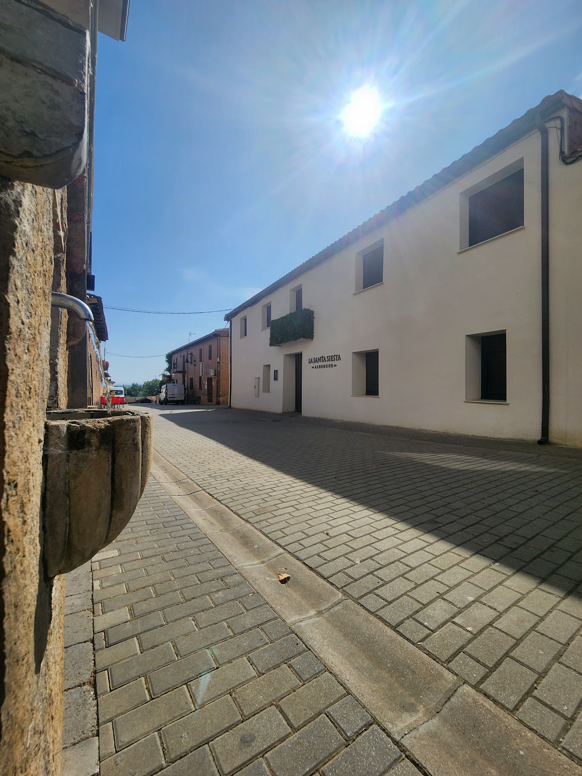
Albergue La Santa Siesta
5.0 / 5 90 reviews
Hostal Libertad
Hostal Alto Páramo
4.0 / 5 523 reviews