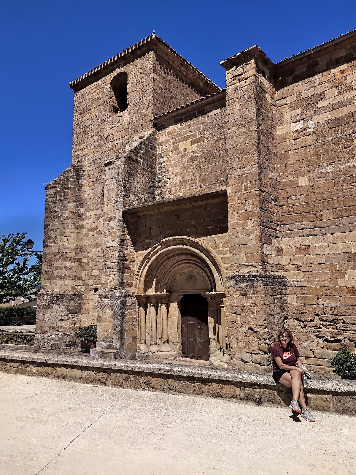
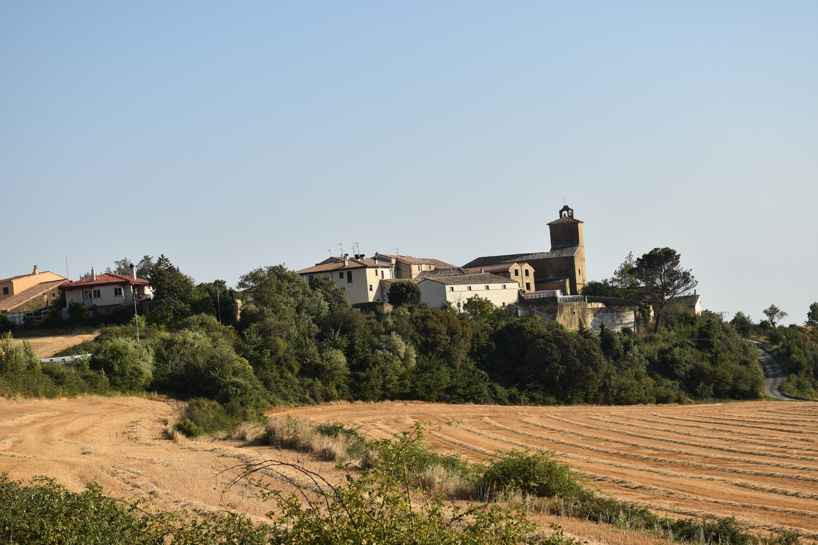
Zariquiegui
Zariquiegui is a small village located in the Navarre region of Spain. Historically, this locality has been a resting point for pilgrims traveling the Camino de Santiago since the Middle Ages. The village is nestled at the foot of the Alto del Perdón, a significant hill that pilgrims must climb to continue their journey. The hill is known for its challenging ascent and the iconic windmill park at the summit, which features a monument dedicated to the pilgrims of the Camino de Santiago. The village itself has preserved its historical charm, with narrow streets and traditional stone houses. One of the main points of interest in Zariquiegui is the Church of San Andrés, a 13th-century Romanesque church that has been restored over the years. The church is a testament to the village's long-standing connection to the Camino de Santiago and serves as a place for pilgrims to reflect and pray during their journey.
Plan this stage in the app
Turn this route data into a practical day plan with live maps, elevation profiles, and stay planning.
- Track your live location on the route map.
- Check distance and elevation before you start.
- Save your preferred stays and book when ready.

Next on the route
Uterga
Uterga is a small village in the Navarre region of Spain with a rich history tied to the Camino de Santiago. It is located at the...
Bar / Restaurant
Open Locality Guide Accommodation in Zariquiegui
Compare albergues, hostels, pensions, and hotels in this locality, then book or continue planning in the app.
Albergue San Andrés
4.1 / 5 91 reviews