Zuriain
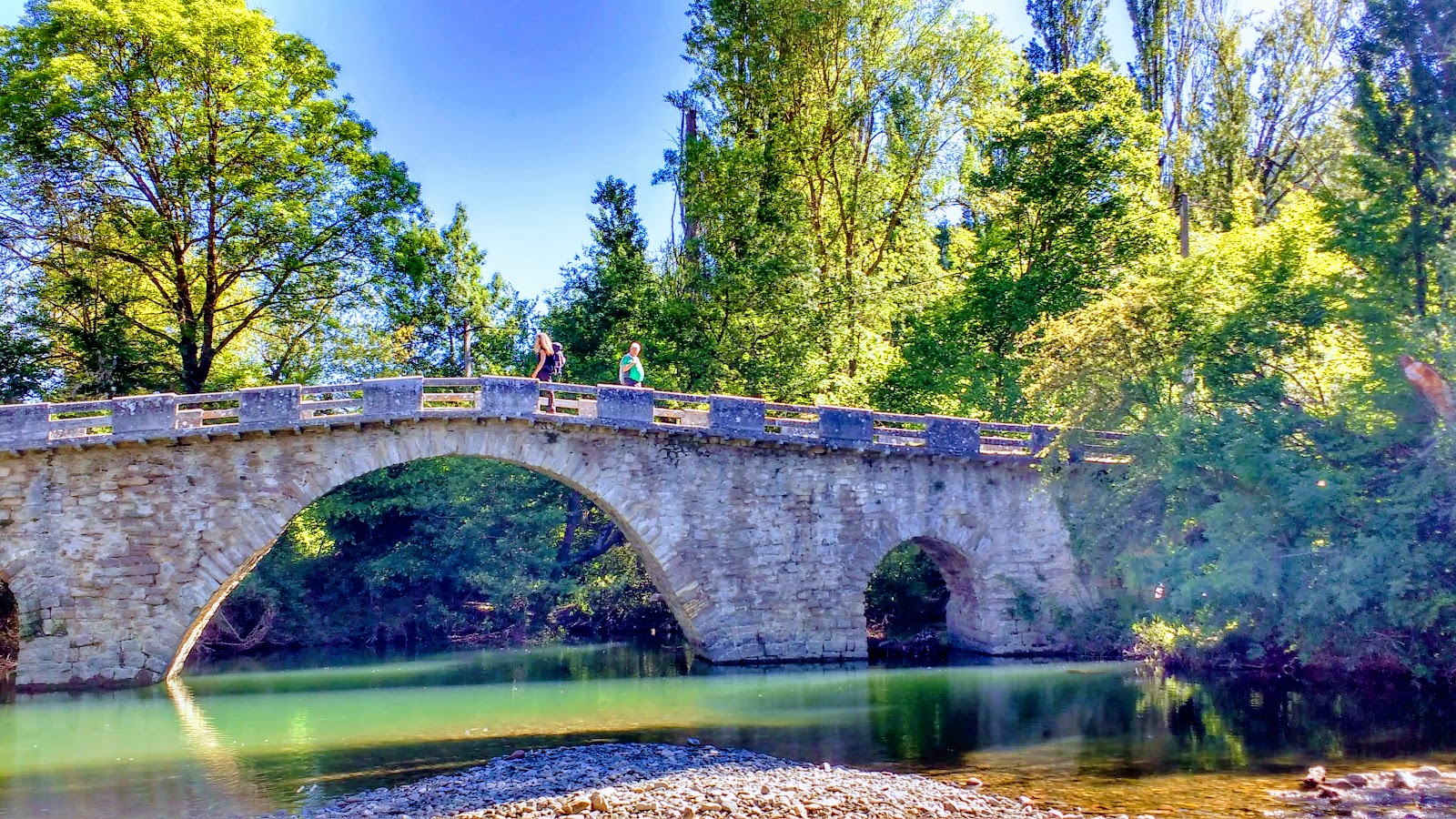
Zuriain is a small locality situated along the Camino de Santiago, known for its picturesque setting and historical significance. Nestled in the valley of the River Arga, Zuriain is surrounded by lush green landscapes and offers a tranquil atmosphere for pilgrims to rest and reflect. Historically, Zuriain has been a resting point for pilgrims since the Middle Ages, providing essential services such as food, shelter, and medical assistance. The village is home to the Church of San Esteban, a Romanesque structure dating back to the 12th century. This church has been an important spiritual stop for pilgrims, offering a space for prayer and contemplation. The bridge over the River Arga, known as Puente de Iturgaiz, is another notable landmark in Zuriain, which has facilitated the passage of pilgrims for centuries.
Plan this stage in the app
Turn this route data into a practical day plan with live maps, elevation profiles, and stay planning.
- Track your live location on the route map.
- Check distance and elevation before you start.
- Save your preferred stays and book when ready.

Next on the route
Zabaldika
Zabaldika is a small locality in the Navarre region of Spain, known for its historical significance on the Camino de Santiago....
Open Locality GuideAccommodation in Zuriain
Compare albergues, hostels, pensions, and hotels in this locality, then book or continue planning in the app.
La Parada de Zuriain
4.4 / 5 413 reviews