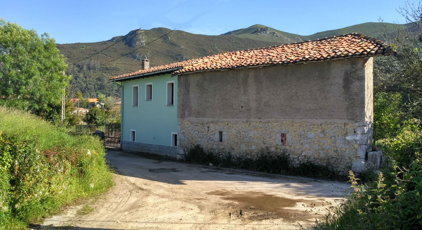
Piñeres
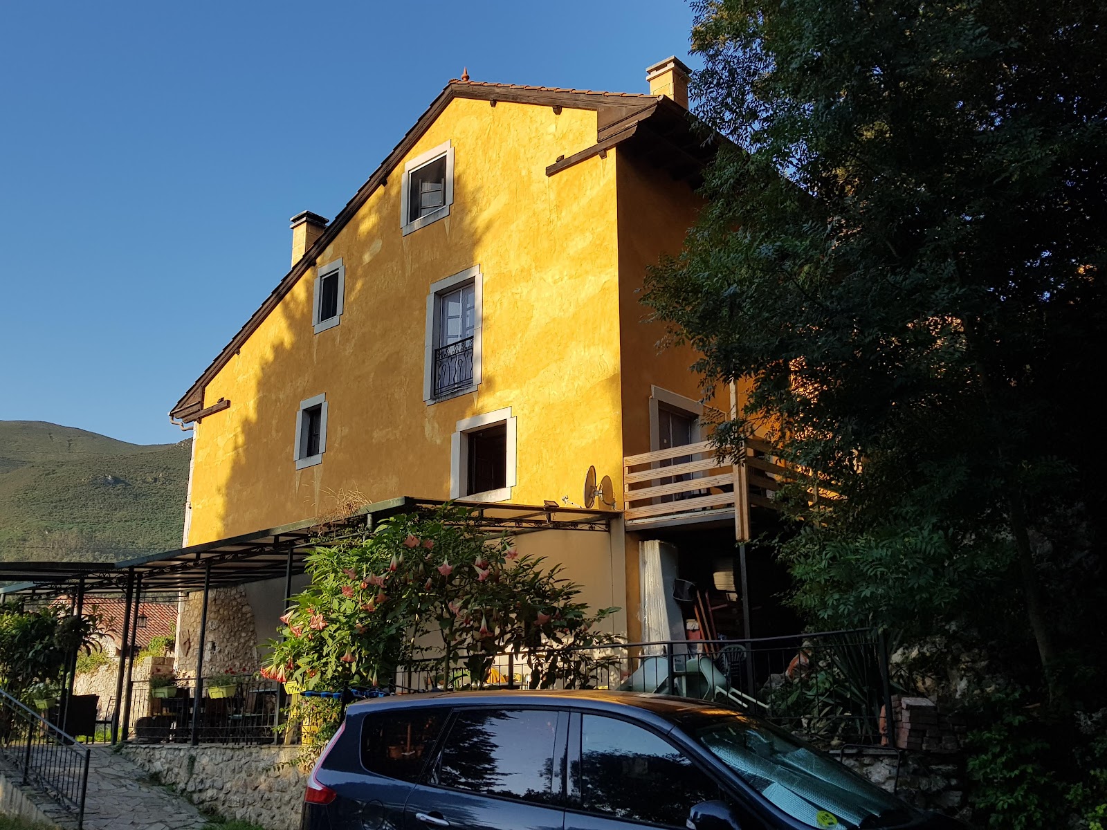
Piñeres is a charming village nestled in the Cantabrian hills, featuring traditional stone architecture and surrounded by verdant pastures, ideal for enjoying the tranquil rural landscape.
Plan this stage in the app
Turn this route data into a practical day plan with live maps, elevation profiles, and stay planning.
- Track your live location on the route map.
- Check distance and elevation before you start.
- Save your preferred stays and book when ready.

Next on the route
Cuerres
Cuerres is a quaint village enveloped by rolling hills and vibrant greenery, where traditional Asturian architecture complements...
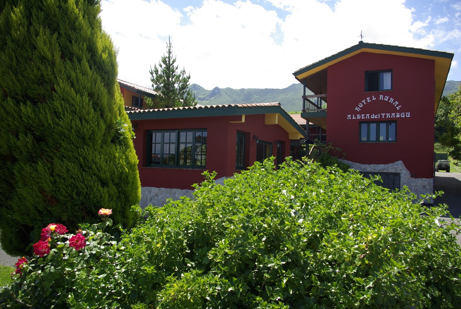
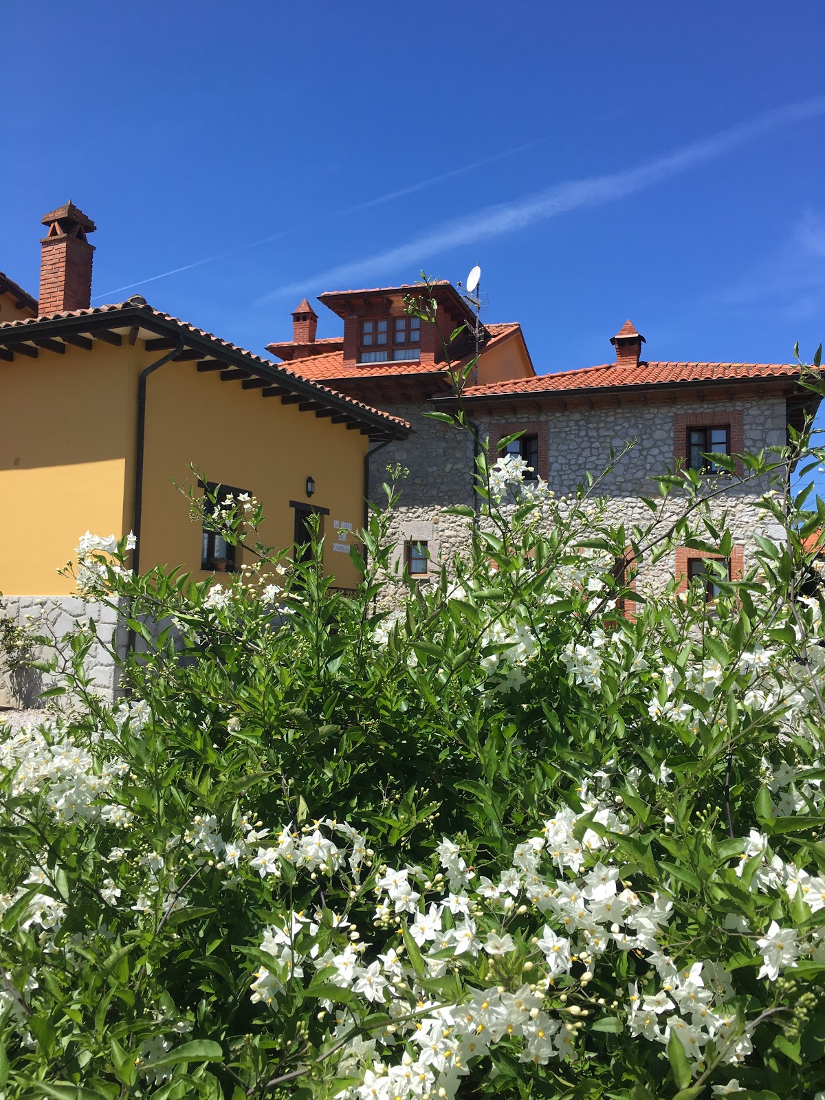
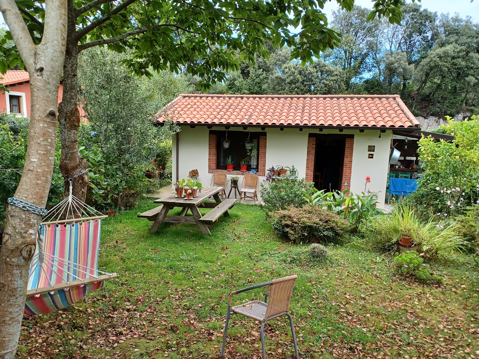
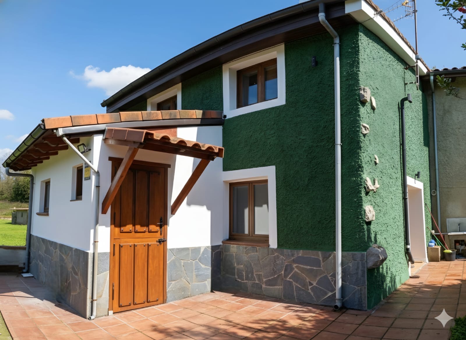
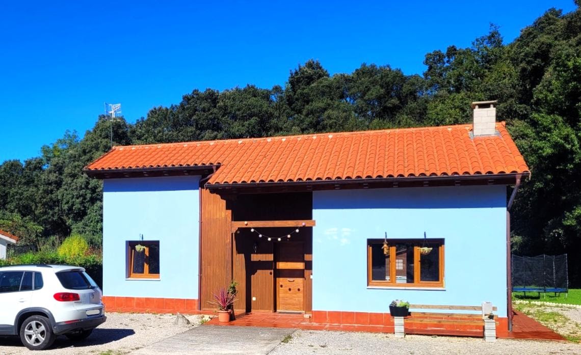
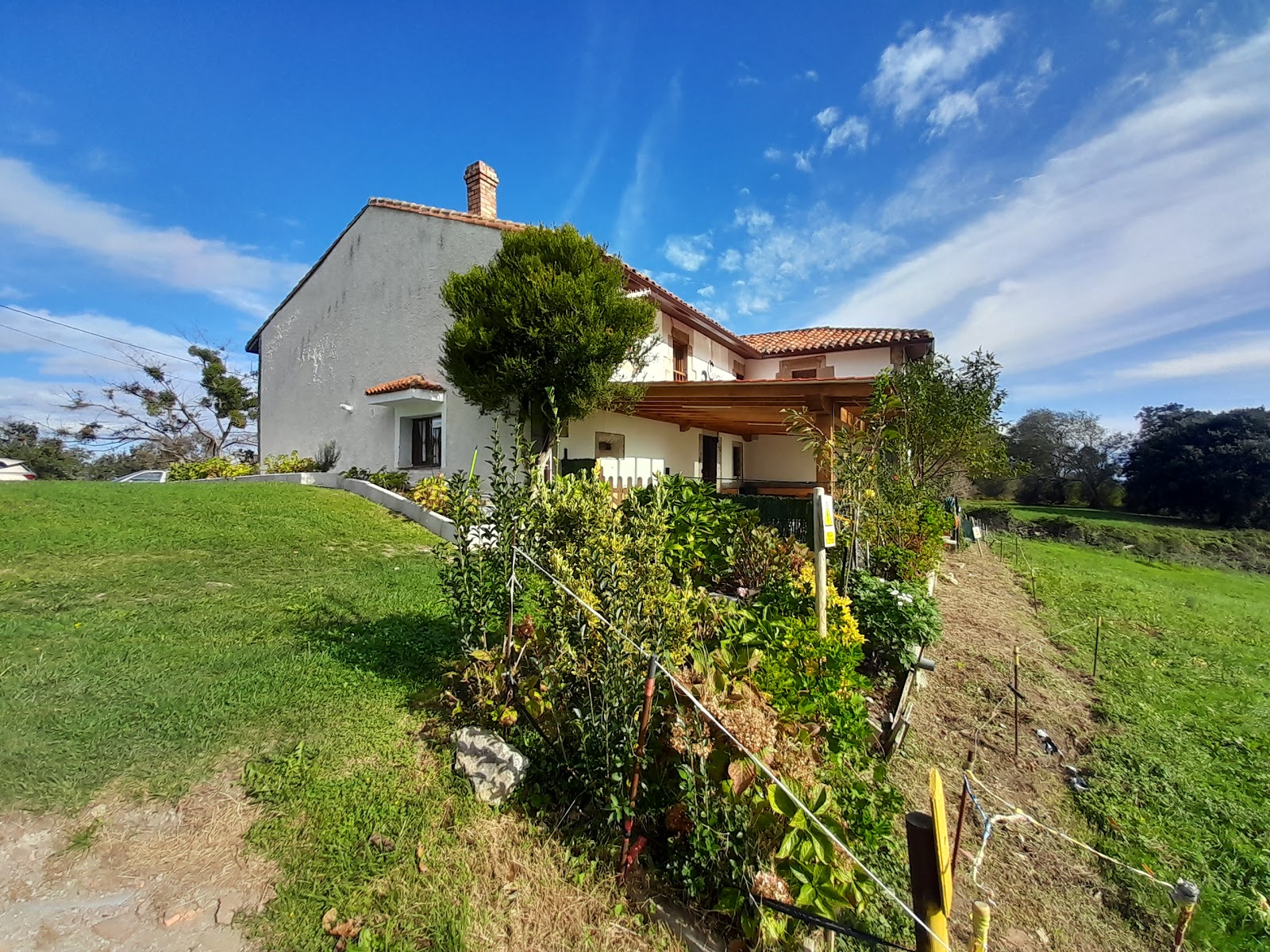
Open Locality GuideAccommodation in Piñeres
Compare albergues, hostels, pensions, and hotels in this locality, then book or continue planning in the app.
Pension Alfoz de Rondiella
4.3 / 5 7 reviews
Bosque de Cuevas
4.4 / 5 118 reviews
Casa Rural la Llosa del Canonigu
4.7 / 5 53 reviews
Albergue La Llosa de Cosme
4.7 / 5 86 reviews
Postas de Pria
5.0 / 5 1 reviews
Casa Raitán Asturias
5.0 / 5 6 reviews
Vivienda vacacional El Ángel
5.0 / 5 2 reviews
Casa Rural El Cuetu of Pradón
4.4 / 5 7 reviews
Albergue Casa Rectoral de Pria
4.2 / 5 62 reviews
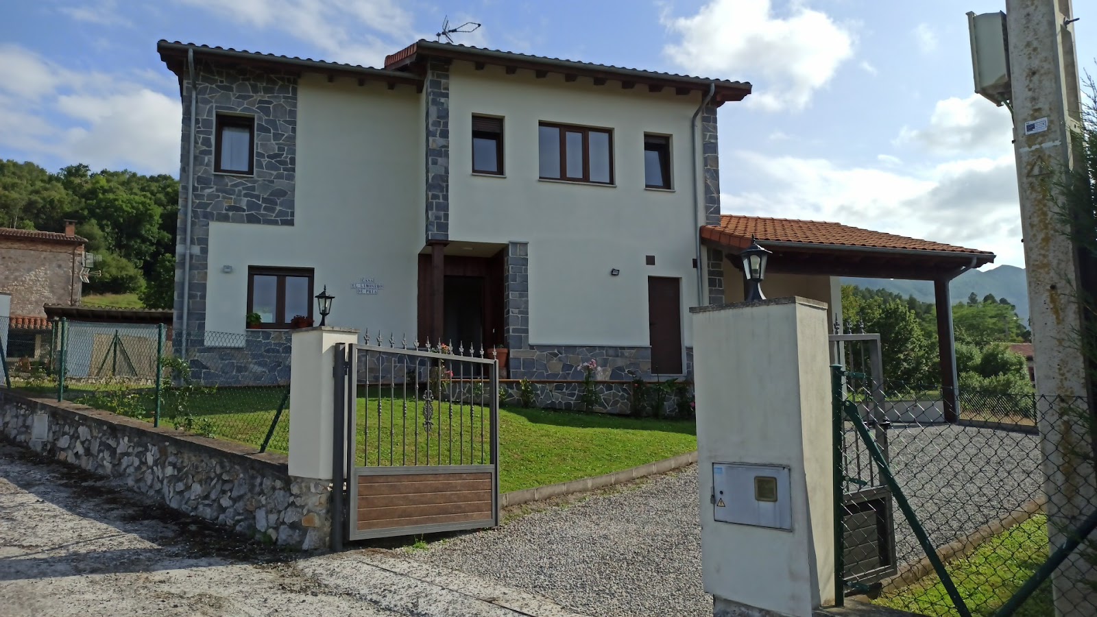
Casa El Limonero de Pría
4.9 / 5 13 reviews