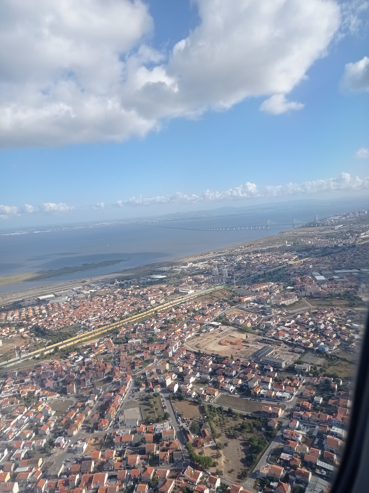
Alverca do Ribatejo
Alverca do Ribatejo sits along the Tagus River, serving as a convenient waypoint for pilgrims just north of Lisbon. It offers a well-connected transport hub, local eateries, and basic services ideal for restocking supplies. History buffs may enjoy a quick visit to its aviation museum, reflecting the town’s links to Portugal’s aeronautical heritage.
Plan this stage in the app
Turn this route data into a practical day plan with live maps, elevation profiles, and stay planning.
- Track your live location on the route map.
- Check distance and elevation before you start.
- Save your preferred stays and book when ready.

Next on the route
Vila Franca de Xira
Vila Franca de Xira is a lively riverside town known for its long-standing bullfighting traditions, located just north of Lisbon....
Open Locality GuideAccommodation in Alverca do Ribatejo
Compare albergues, hostels, pensions, and hotels in this locality, then book or continue planning in the app.

Sol Rio d'Alverca Dormidas
4.5 / 5 567 reviews
Alfa10
3.3 / 5 239 reviews
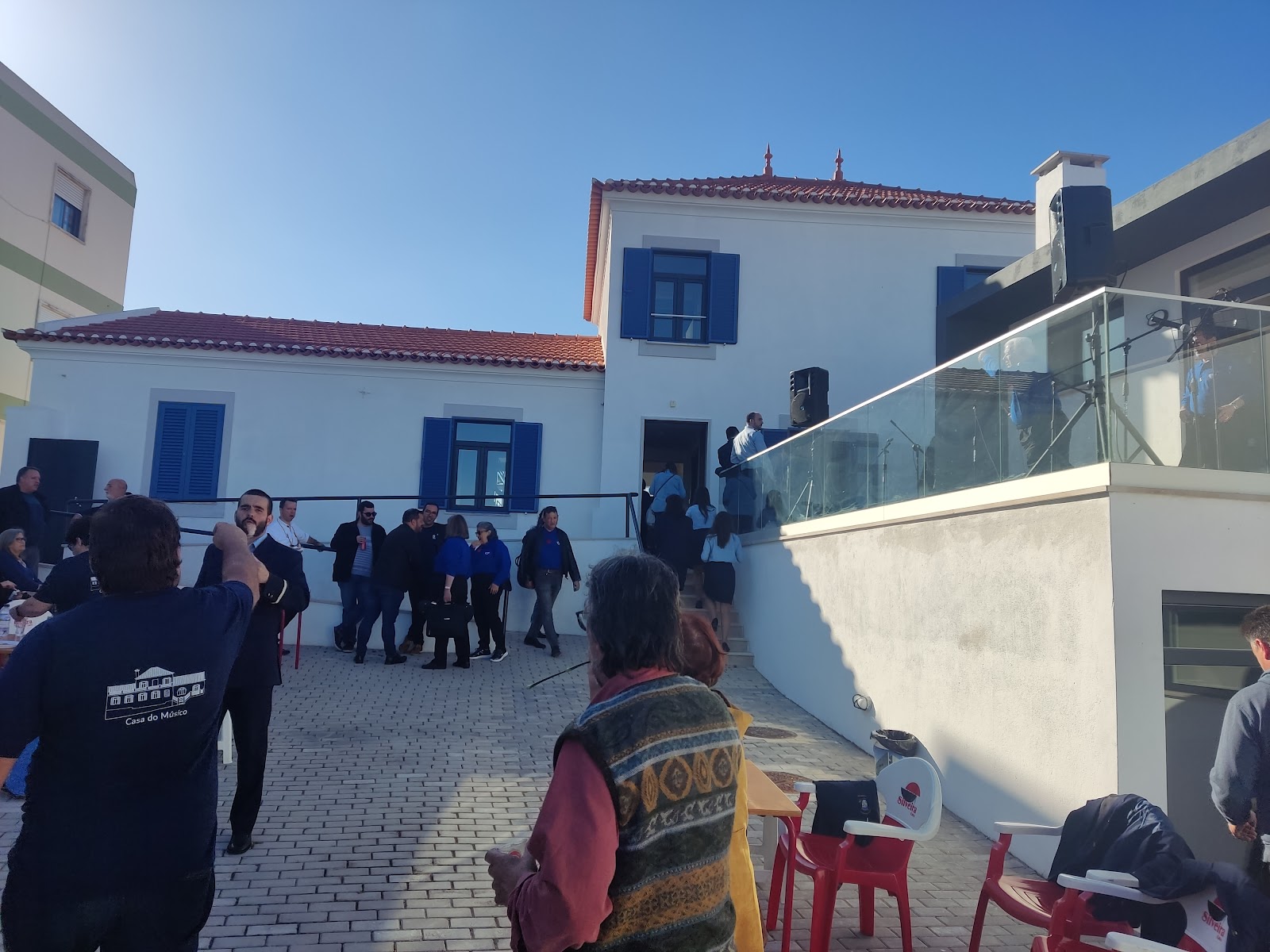
Casa do Músico
3.5 / 5 11 reviews
Silvina Ferreira Guesthouse
3.9 / 5 97 reviews