
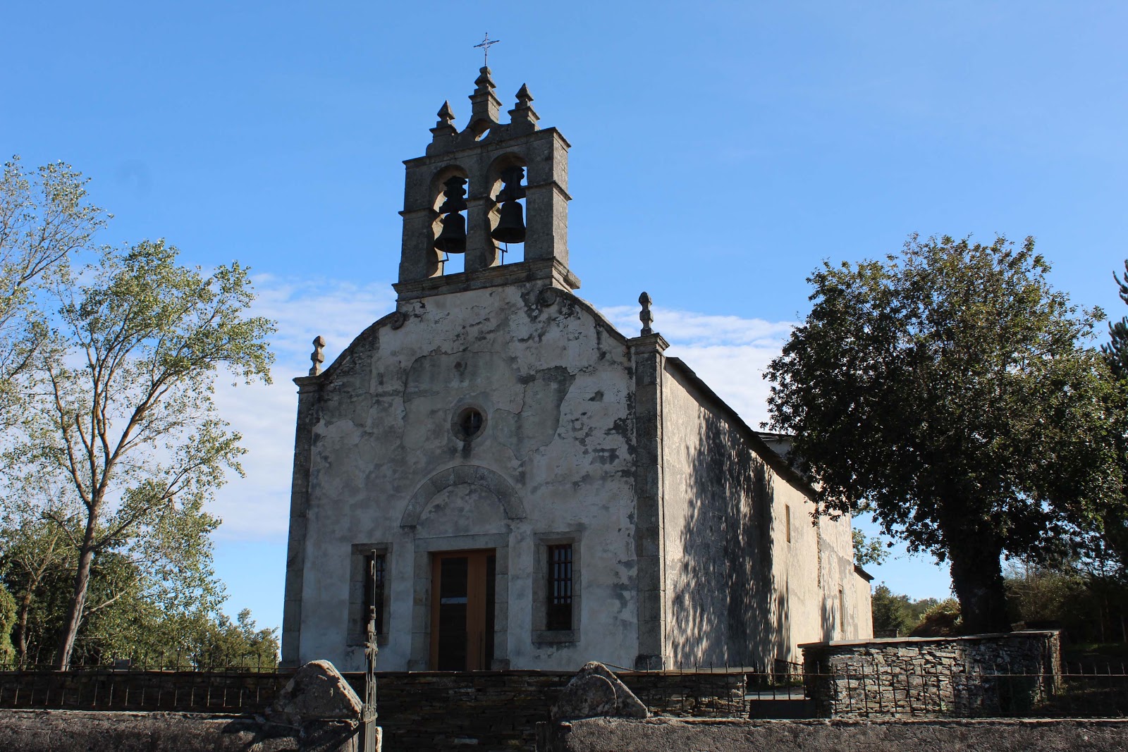
A Balsa
A Balsa is a small locality situated along the Camino de Santiago, specifically on the Camino de Frances route. Although it is not considered a stage itself, it is part of the journey that many pilgrims undertake. The name "A Balsa" is derived from the Galician word for "raft," which may be related to the area's historical use as a crossing point for a nearby river. The historical context of A Balsa is closely tied to the broader history of the Camino de Santiago. As a part of the Camino de Frances, A Balsa has been a stopping point for pilgrims since the Middle Ages. The locality has witnessed the ebb and flow of pilgrim traffic over the centuries, with periods of decline and resurgence. Today, A Balsa continues to serve as a resting point for modern-day pilgrims, offering them a chance to reflect on the rich history of the Camino de Santiago and their own personal journey.
Plan this stage in the app
Turn this route data into a practical day plan with live maps, elevation profiles, and stay planning.
- Track your live location on the route map.
- Check distance and elevation before you start.
- Save your preferred stays and book when ready.

Next on the route
Calvor
Calvor is a small locality in the province of Lugo, Galicia. Historically, it has been a resting point for pilgrims traveling on...
Open Locality GuideAccommodation in A Balsa
Compare albergues, hostels, pensions, and hotels in this locality, then book or continue planning in the app.
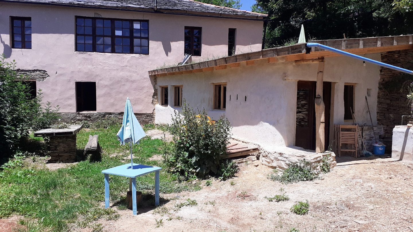
Albergue Ecológico El Beso
4.6 / 5 176 reviews