
Akerreta
Akerreta is a small locality situated along the Camino de Frances. Historically, it has served as a resting point for pilgrims making their way to Santiago de Compostela. The village is nestled in the beautiful valley of the River Arga, which has been a significant geographical feature for travelers throughout the centuries. One of the most notable historical landmarks in Akerreta is the Church of San Pedro, which dates back to the 12th century. This Romanesque church has been an important spiritual stop for pilgrims, offering a place for reflection and prayer on their journey. Additionally, the village is known for its well-preserved traditional Basque architecture, including the Akerreta Hotel, a 17th-century building that has been converted into a charming accommodation for modern-day pilgrims.
Plan this stage in the app
Turn this route data into a practical day plan with live maps, elevation profiles, and stay planning.
- Track your live location on the route map.
- Check distance and elevation before you start.
- Save your preferred stays and book when ready.

Next on the route

Zuriain
Zuriain is a small locality situated along the Camino de Santiago, known for its picturesque setting and historical significance....
Open Locality GuideAccommodation in Akerreta
Compare albergues, hostels, pensions, and hotels in this locality, then book or continue planning in the app.
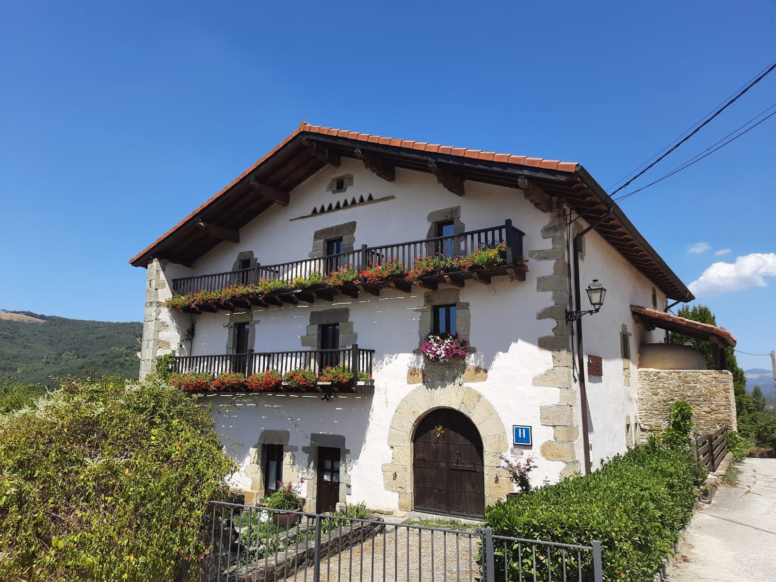
Hotel Akerreta
4.6 / 5 200 reviews
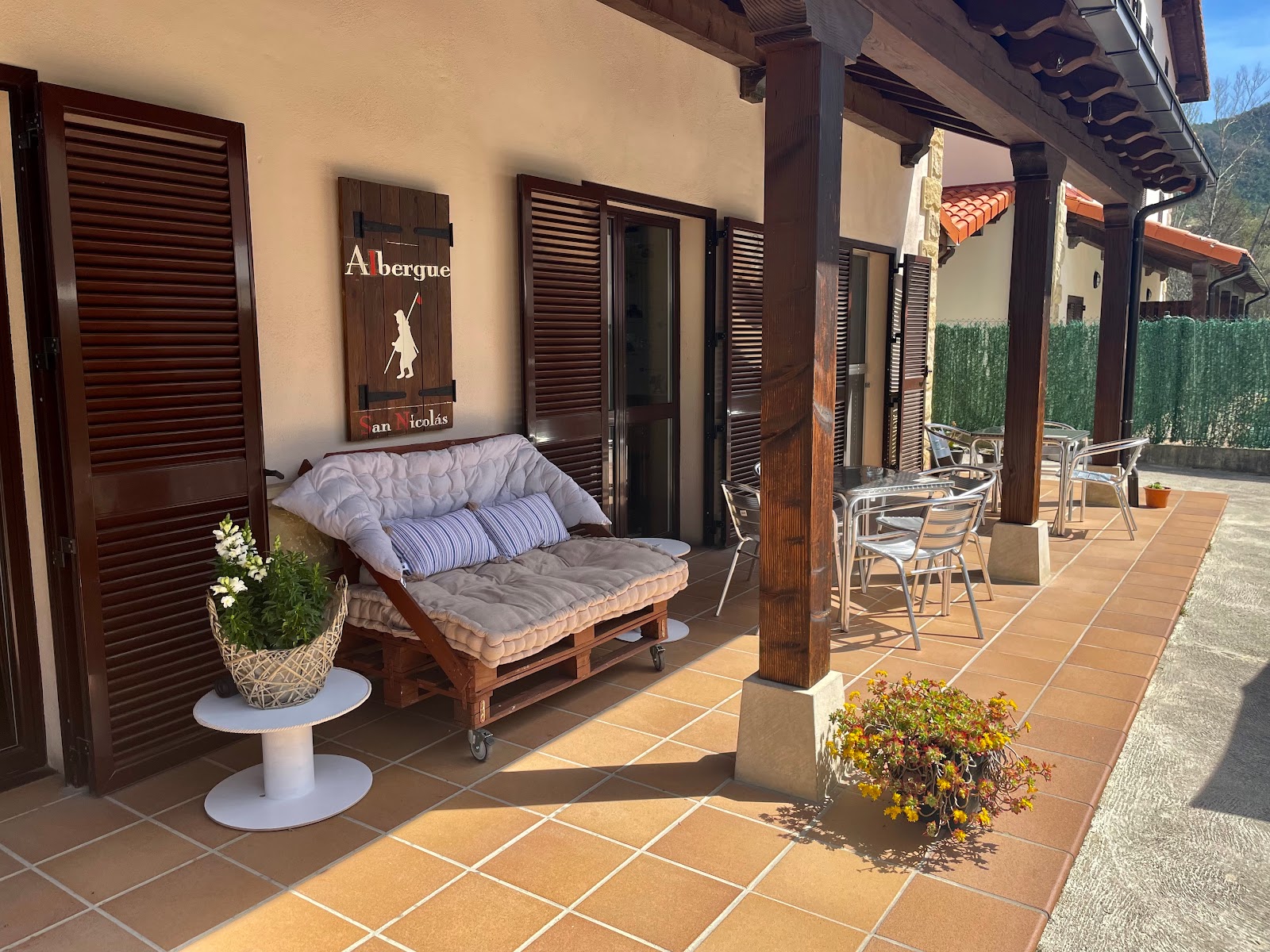
Albergue San Nicolas
4.7 / 5 435 reviews
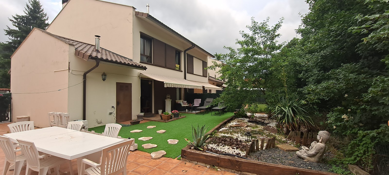
Casa TAU
4.4 / 5 162 reviews
Acogedora casa rural con jardín próxima a Pamplona - Three-Bedroom Villa
0 0
Gran casa de campo ideal para familias en Navarra - Four-Bedroom House
0 0