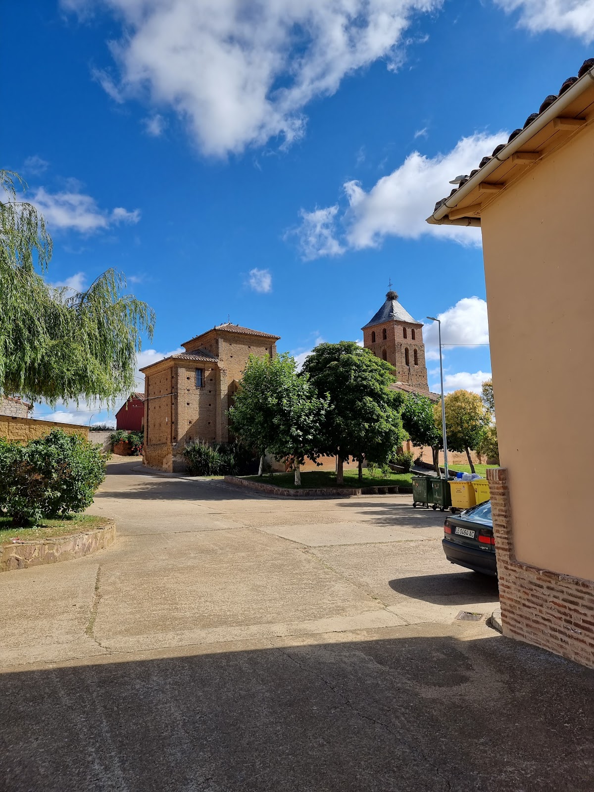
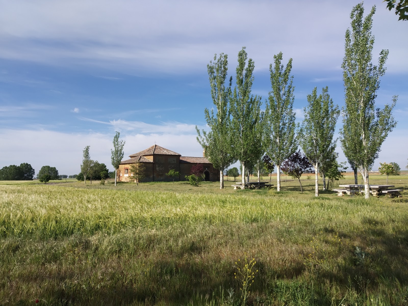
Calzada del Coto
Calzada del Coto is a small locality with historical significance on the Camino de Frances. It is situated in the province of León, in the autonomous community of Castilla y León, Spain. The name "Calzada" refers to the Roman road that once passed through this area, highlighting its ancient roots and connection to the broader network of Roman infrastructure. In the Middle Ages, Calzada del Coto served as a resting point for pilgrims traveling to Santiago de Compostela. The locality provided essential services such as food, shelter, and medical care for weary travelers. The Hospital de San Juan Bautista, which no longer exists, was an important institution in Calzada del Coto, offering assistance to pilgrims in need. Today, the village retains its historical charm and continues to welcome pilgrims on their journey along the Camino de Frances.
Plan this stage in the app
Turn this route data into a practical day plan with live maps, elevation profiles, and stay planning.
- Track your live location on the route map.
- Check distance and elevation before you start.
- Save your preferred stays and book when ready.

Next on the route
Bercianos del Real Camino
Bercianos del Real Camino is a small, traditional village located in the province of León, Spain. Its history is deeply...
Bar / RestaurantFood Shop
Open Locality Guide 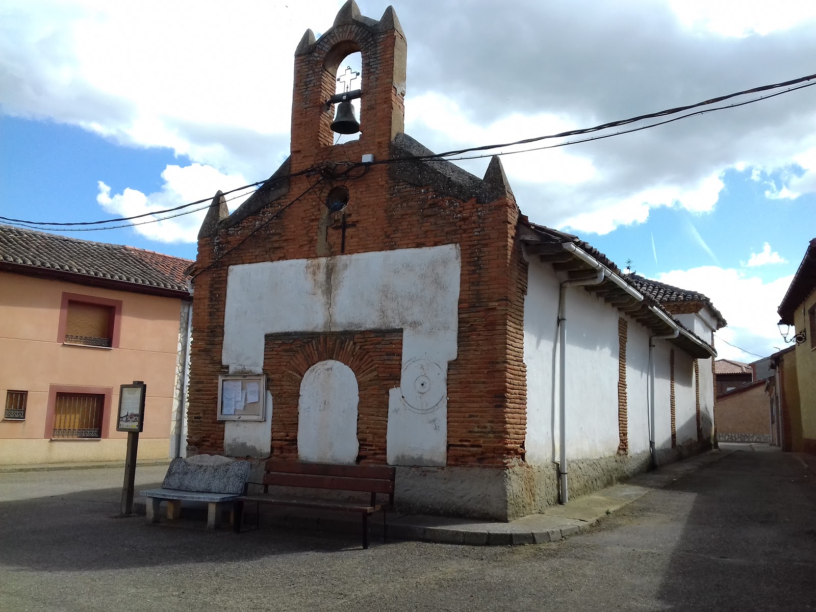
Calzadilla de los Hermanillos
Calzadilla de los Hermanillos is a small village with a rich history dating back to the Roman era. It is located along the...
Bar / RestaurantFood Shop
Open Locality Guide Accommodation in Calzada del Coto
Compare albergues, hostels, pensions, and hotels in this locality, then book or continue planning in the app.
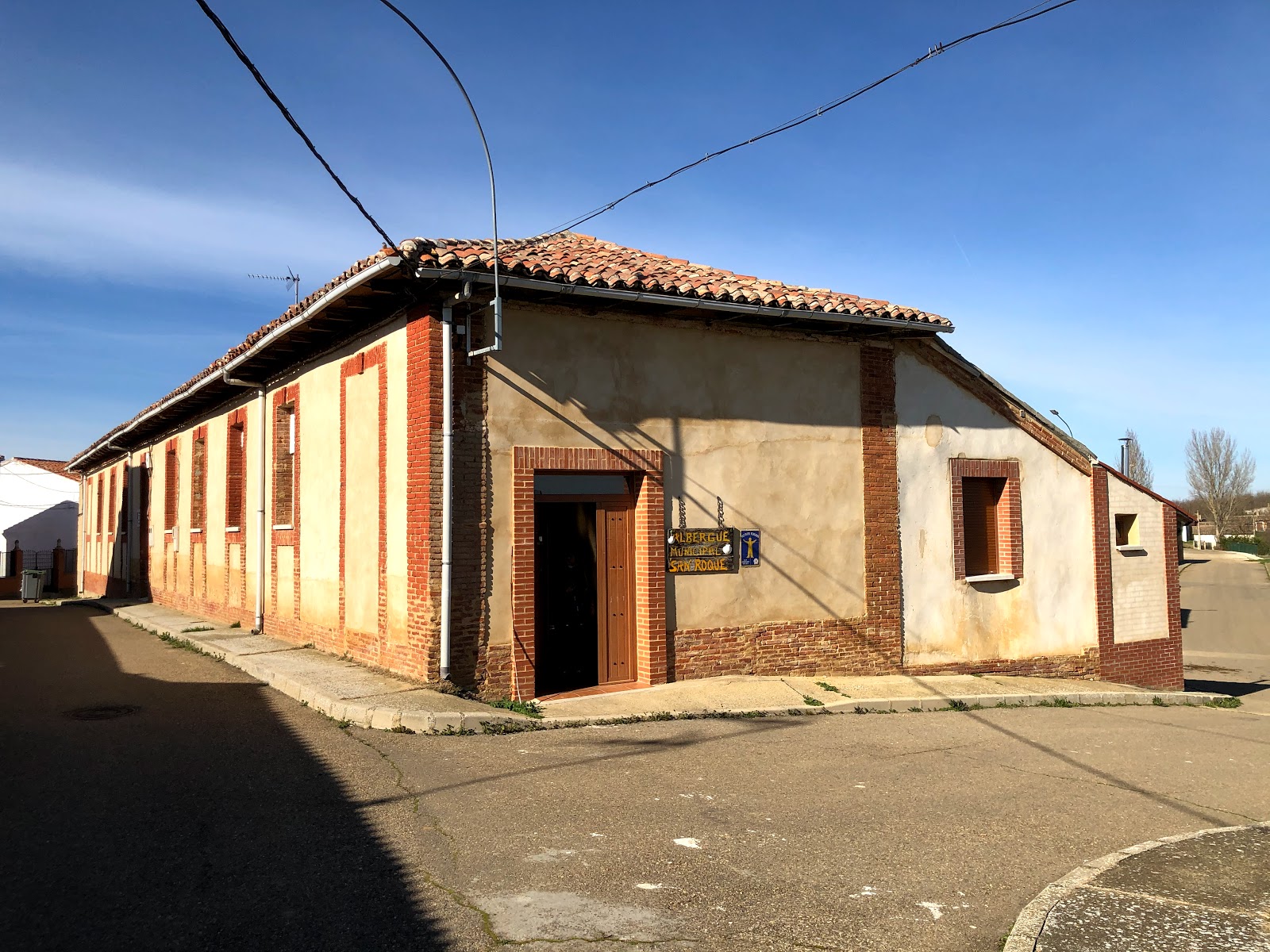
Albergue de peregrinos San Roque
4.6 / 5 51 reviews