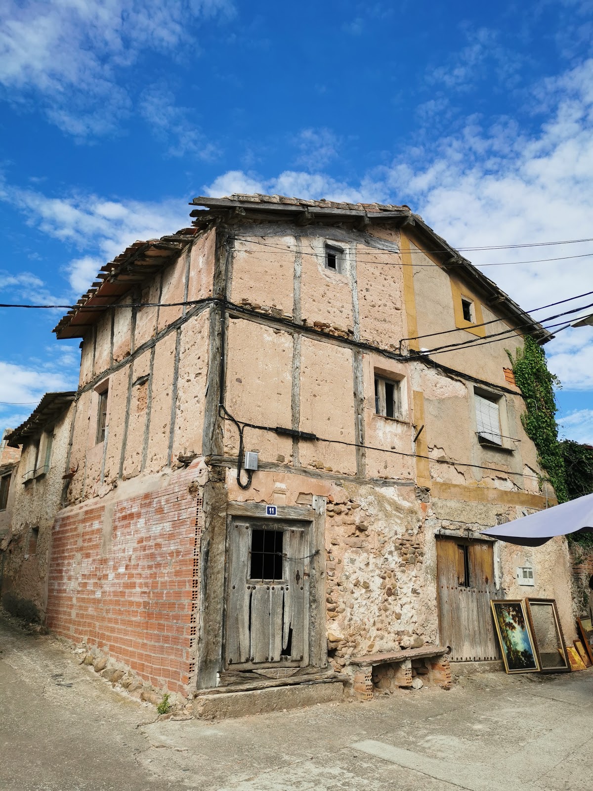
Cirueña
Cirueña is a small village in the La Rioja region of Spain. Historically, Cirueña served as a resting point for pilgrims traveling the Camino de Santiago, providing essential services such as food, shelter, and medical care. The village is known for its 16th-century Church of San Andrés, which features a beautiful Romanesque doorway and a Baroque altarpiece. The church has been a place of worship and reflection for pilgrims throughout the centuries. Additionally, the surrounding area is rich in archaeological sites, with evidence of pre-Roman settlements and ancient burial grounds, adding to the historical significance of Cirueña as a locality on the Camino de Santiago.
Plan this stage in the app
Turn this route data into a practical day plan with live maps, elevation profiles, and stay planning.
- Track your live location on the route map.
- Check distance and elevation before you start.
- Save your preferred stays and book when ready.

Next on the route
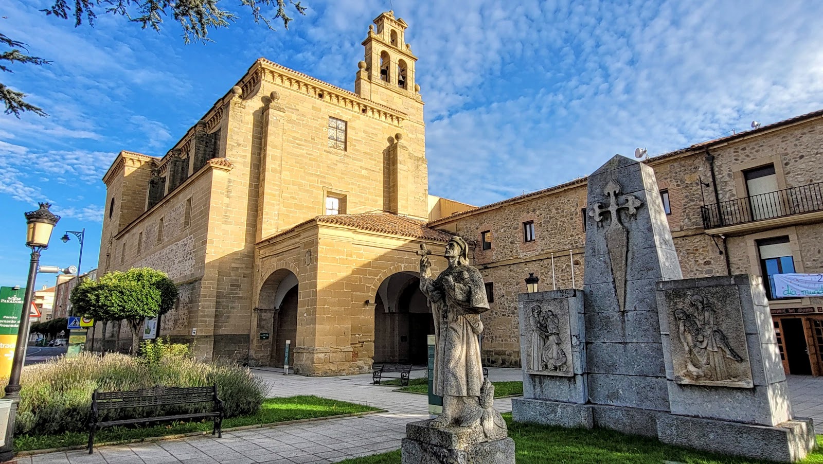
Santo Domingo de la Calzada
Santo Domingo de la Calzada is a historic town on the Camino de Santiago, known for its rich history and architectural heritage....
ATMBar / RestaurantFood ShopMedical ClinicPharmacyPost Office
Open Locality Guide Accommodation in Cirueña
Compare albergues, hostels, pensions, and hotels in this locality, then book or continue planning in the app.
Hostel Virgen de Guadalupe
3.4 / 5 175 reviews
Albergue Victoria
4.2 / 5 145 reviews

Casa Victoria
4.0 / 5 84 reviews
Casa Victoria
4.0 / 5 84 reviews
Chalet Golf Wine La Rioja-Cirueña - Five-Bedroom House
0 0

Chalet en Cirueña con Barbacoa
0 0

Adosado en Cirueña con Chimenea y barbacoa
4.0 / 5 1 reviews