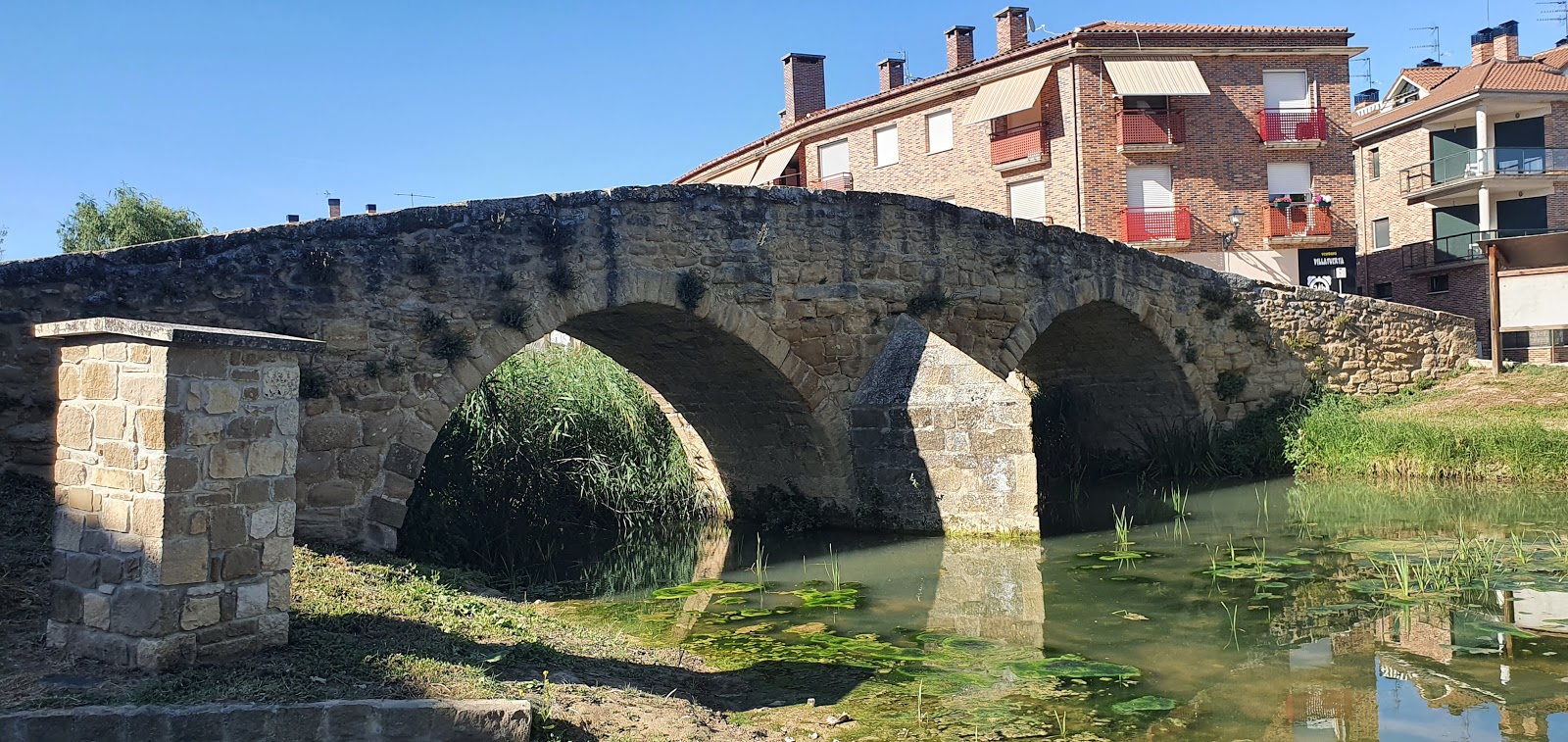
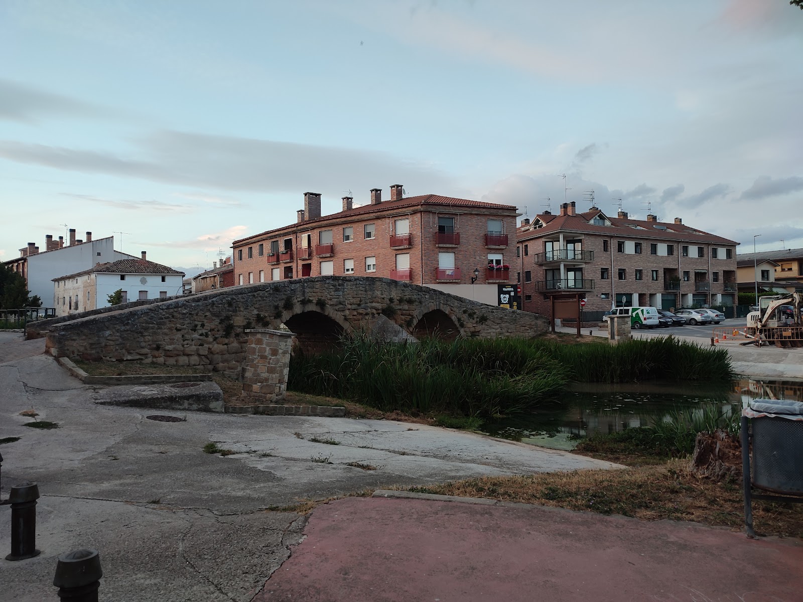
Villatuerta
Villatuerta is a small town in the Navarre region of Spain, with a rich history dating back to the Roman era. It is known for its strategic location along the Ega River, which provided an important water source for pilgrims traveling on the Camino de Santiago. The town's historical significance is evident in its well-preserved architecture, including the Church of San Andrés, which dates back to the 12th century. This Romanesque church features a beautiful Gothic portal and houses a 16th-century altarpiece. Additionally, the Hermitage of Santa Lucía, located on a hill overlooking the town, offers stunning views of the surrounding countryside and serves as a testament to the town's medieval past. Throughout the centuries, Villatuerta has been a vital stop for pilgrims seeking rest and respite on their journey along the Camino de Santiago. The town's hospitable nature and rich history continue to make it an important and memorable stop for modern-day pilgrims.
Plan this stage in the app
Turn this route data into a practical day plan with live maps, elevation profiles, and stay planning.
- Track your live location on the route map.
- Check distance and elevation before you start.
- Save your preferred stays and book when ready.

Next on the route

Estella
Estella, a picturesque town in the Navarre region of Spain, boasts a rich history that dates back to the 11th century. Founded by...
ATMBar / RestaurantFood ShopMedical ClinicPharmacyPost Office
Open Locality Guide Accommodation in Villatuerta
Compare albergues, hostels, pensions, and hotels in this locality, then book or continue planning in the app.

Muskildialandetxea
4.7 / 5 52 reviews
Albergue Peregrinos Etxeurdina Villatuerta
4.9 / 5 233 reviews

Albergue La Casa Mágica
4.8 / 5 72 reviews
Casa Rural 643 km
4.3 / 5 34 reviews
643km landa etxea
0 0