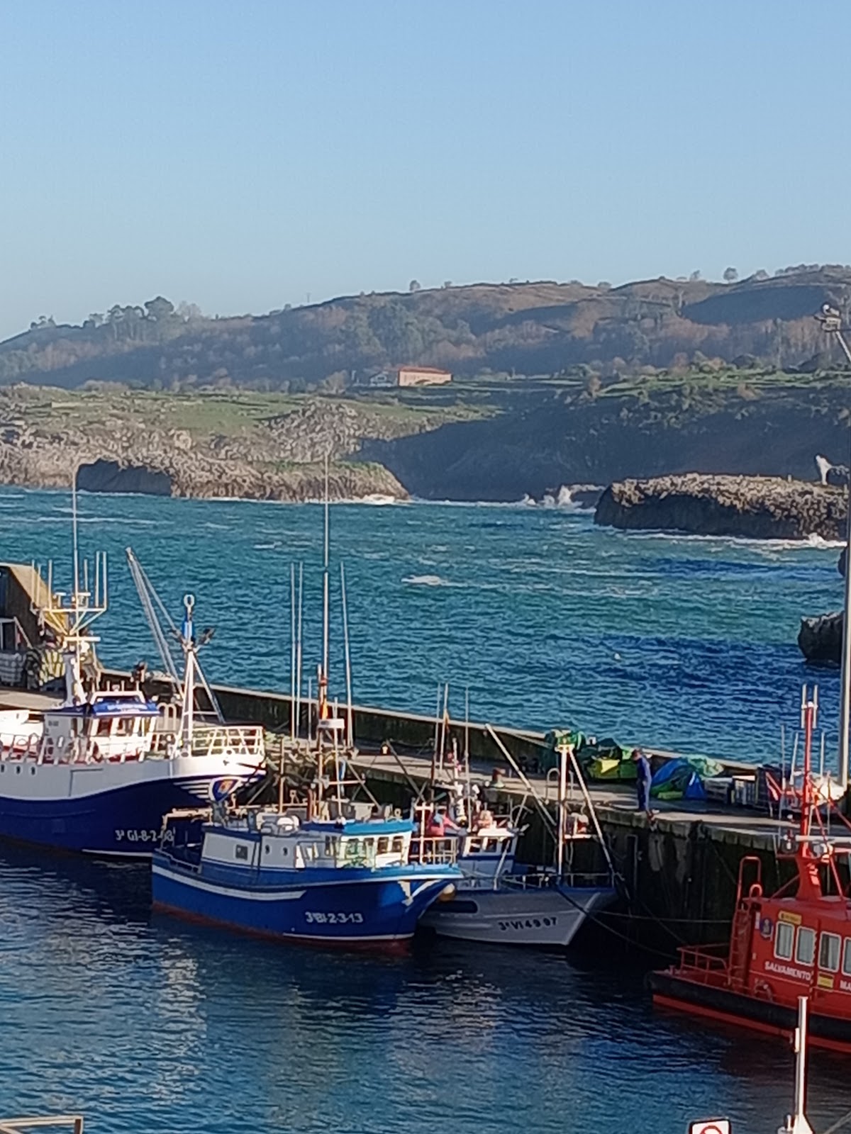
Andrin
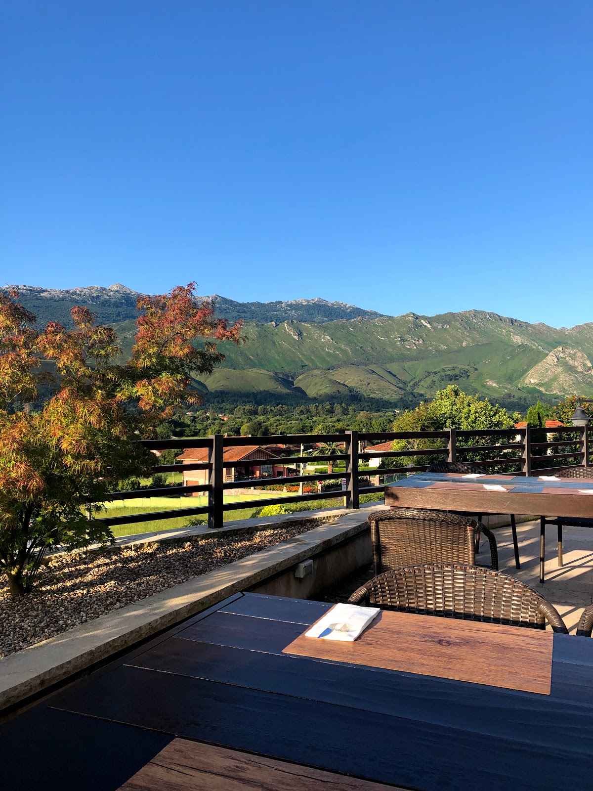
Andrín is a coastal village known for its stunning views of the rugged cliffs and sandy beaches along the Bay of Biscay, making it a perfect spot for enjoying the natural beauty of the Asturian coastline.
Plan this stage in the app
Turn this route data into a practical day plan with live maps, elevation profiles, and stay planning.
- Track your live location on the route map.
- Check distance and elevation before you start.
- Save your preferred stays and book when ready.

Next on the route
Llanes
Llanes, with its dramatic cliffs and pristine beaches, showcases a rich maritime history, while its charming old town features...
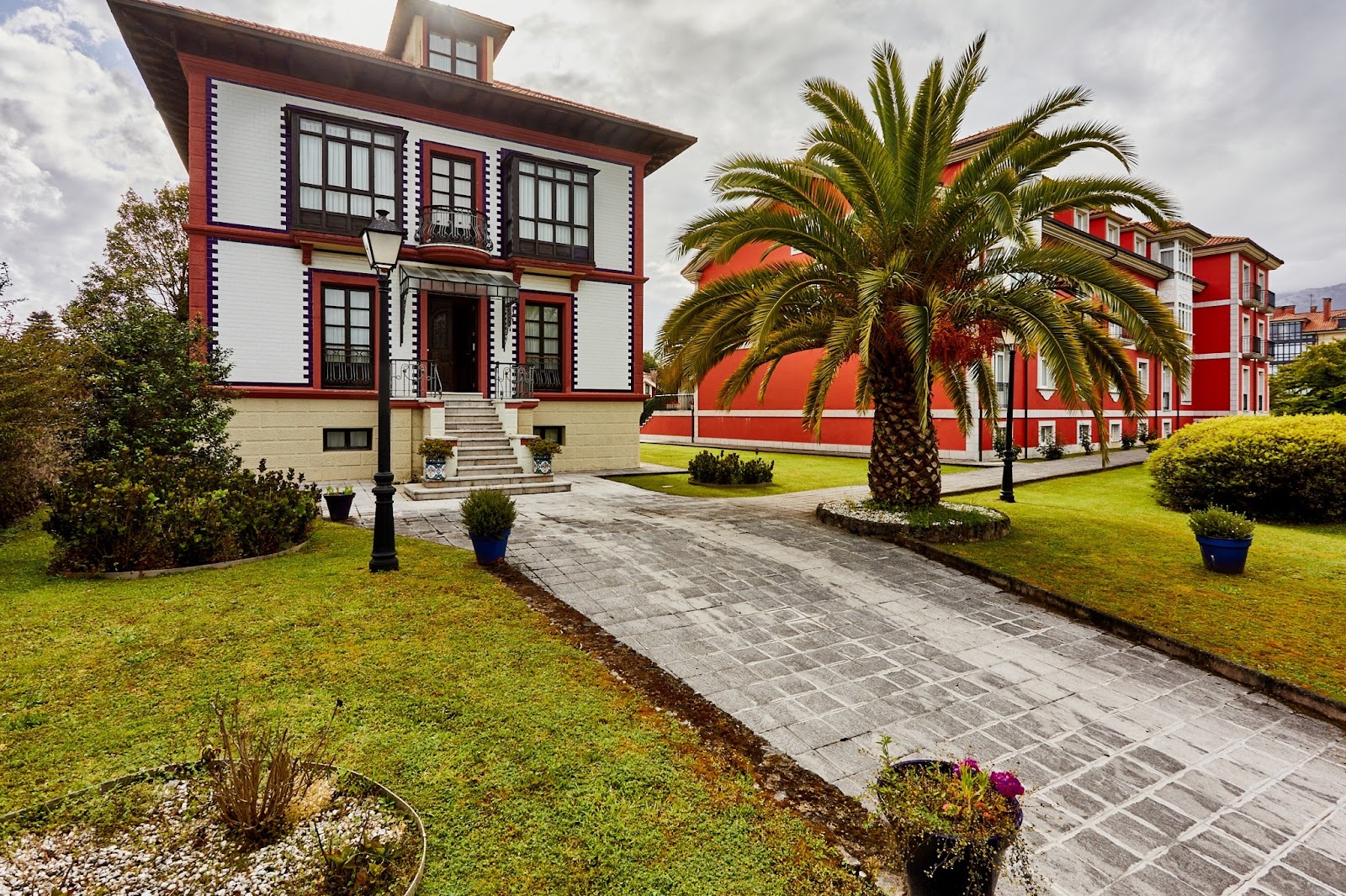
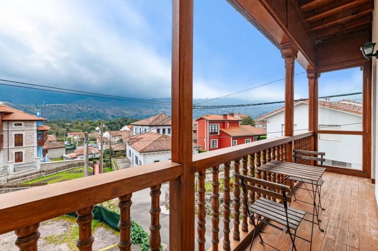
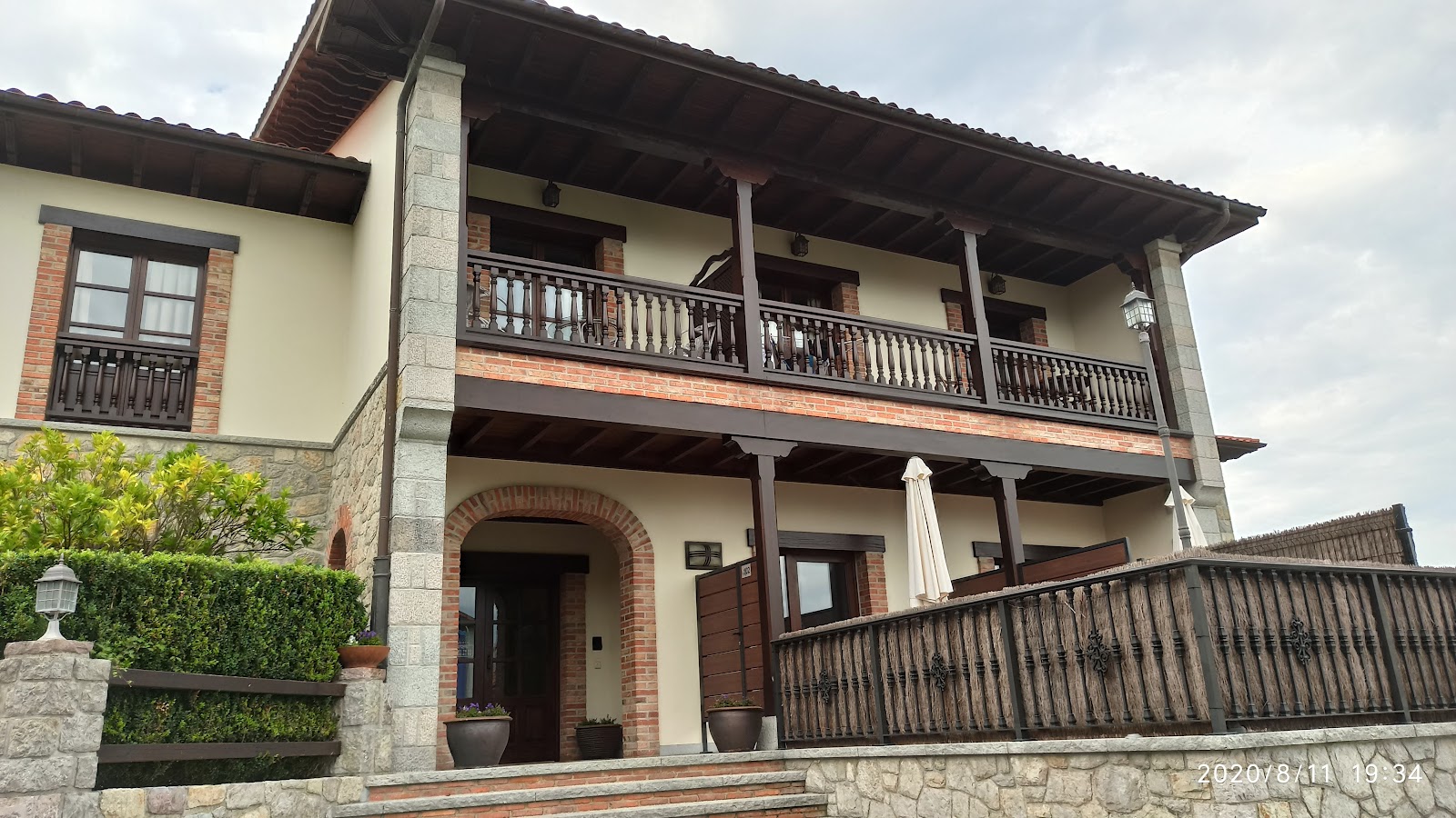
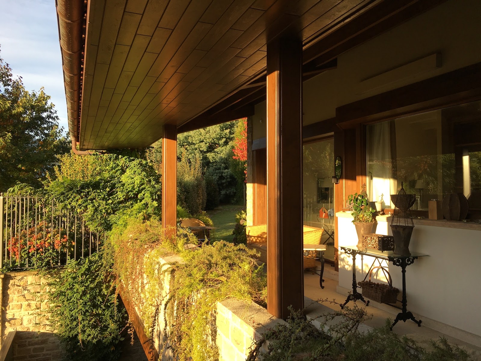
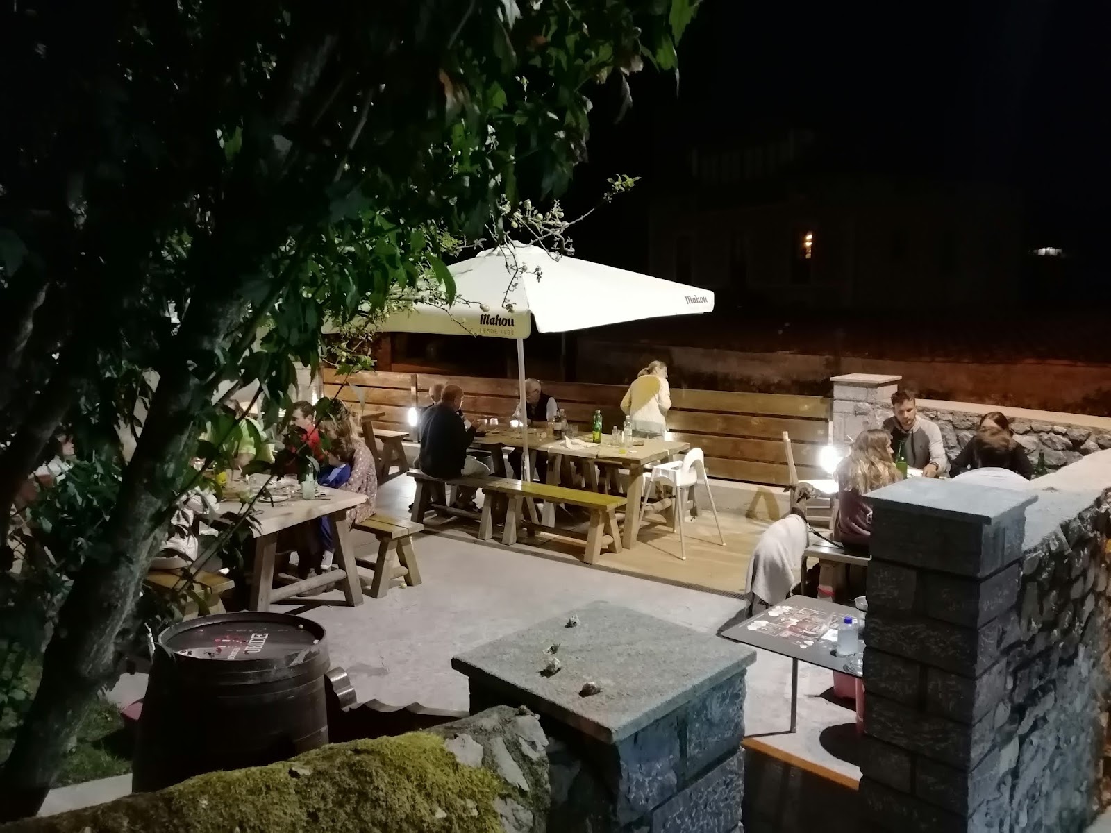
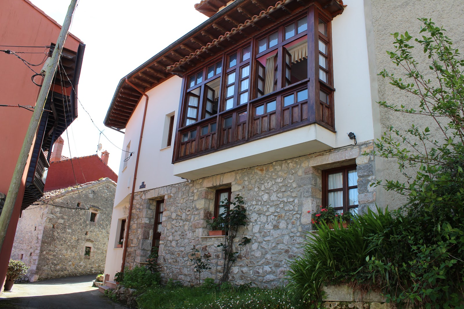
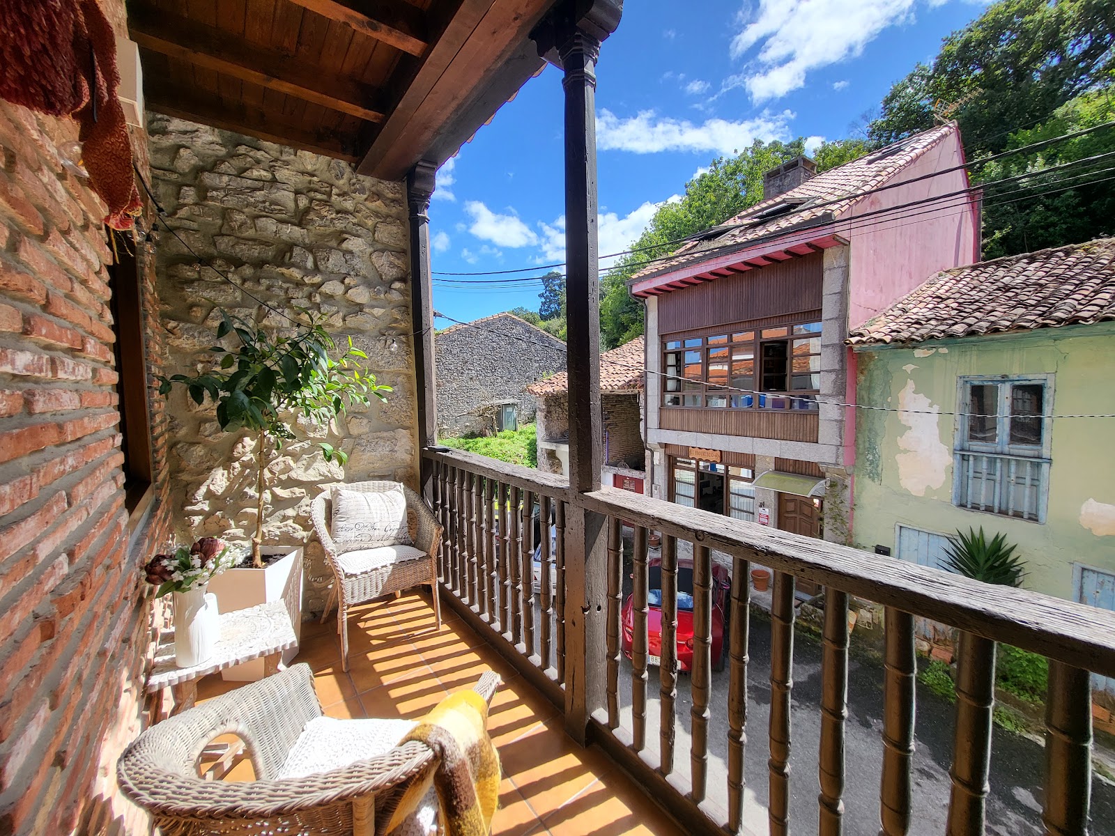
Open Locality GuideAccommodation in Andrin
Compare albergues, hostels, pensions, and hotels in this locality, then book or continue planning in the app.
Casa Leo
5.0 / 5 4 reviews
Hotel Rural Andrin
4.7 / 5 89 reviews
Arcea Balcon De La Cuesta
4.6 / 5 402 reviews
Casa Carle Andrín
5.0 / 5 1 reviews
Casa de Rural Vega
5.0 / 5 2 reviews

Cottages Andrin La Torre
4.5 / 5 81 reviews
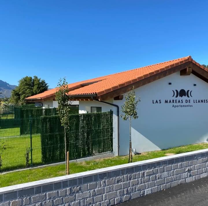
Las mareas de Llanes
4.9 / 5 61 reviews
El Castañu de Cue
4.3 / 5 626 reviews
Maribel II
4.5 / 5 48 reviews
Hotel Migal - Cué, Llanes
4.3 / 5 981 reviews
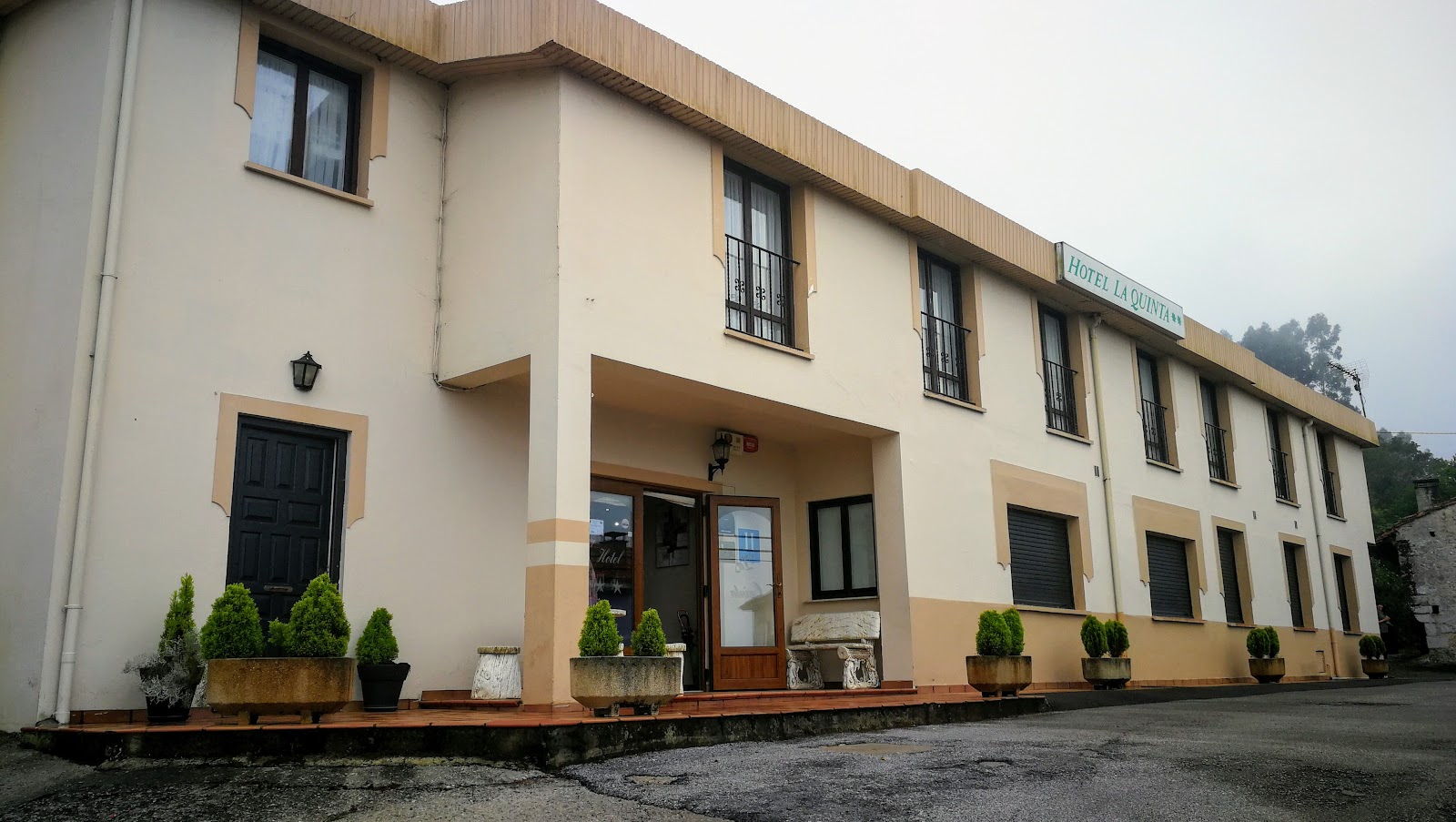
Hotel La Quinta
4.0 / 5 329 reviews
Casa Rural El Juacu
4.6 / 5 231 reviews