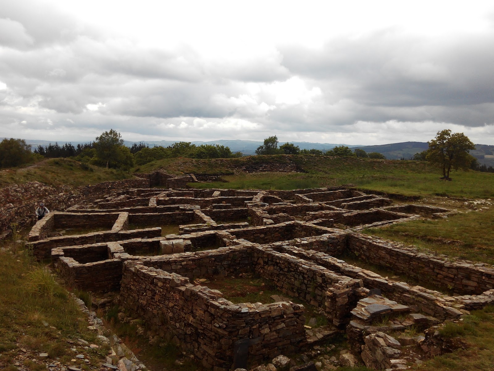
Castromayor
Castromaior, whose official name is Santa María de Castromaior, is a small parish in the municipality of Portomarín de Lugo, and is located in the last stretch of the French Way. Named after its church, this parish stands out for its ancient castro, one of the most important in the Iberian Peninsula.
Plan this stage in the app
Turn this route data into a practical day plan with live maps, elevation profiles, and stay planning.
- Track your live location on the route map.
- Check distance and elevation before you start.
- Save your preferred stays and book when ready.

Next on the route
Hospital de la Cruz
Hospital de la Cruz is a small locality with historical significance on the Camino de Santiago. Its name is derived from the...
Bar / RestaurantFood Shop
Open Locality Guide Accommodation in Castromayor
Compare albergues, hostels, pensions, and hotels in this locality, then book or continue planning in the app.
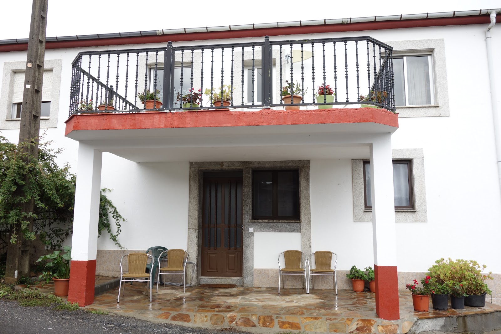
Pension Casa Maruja
3.8 / 5 81 reviews
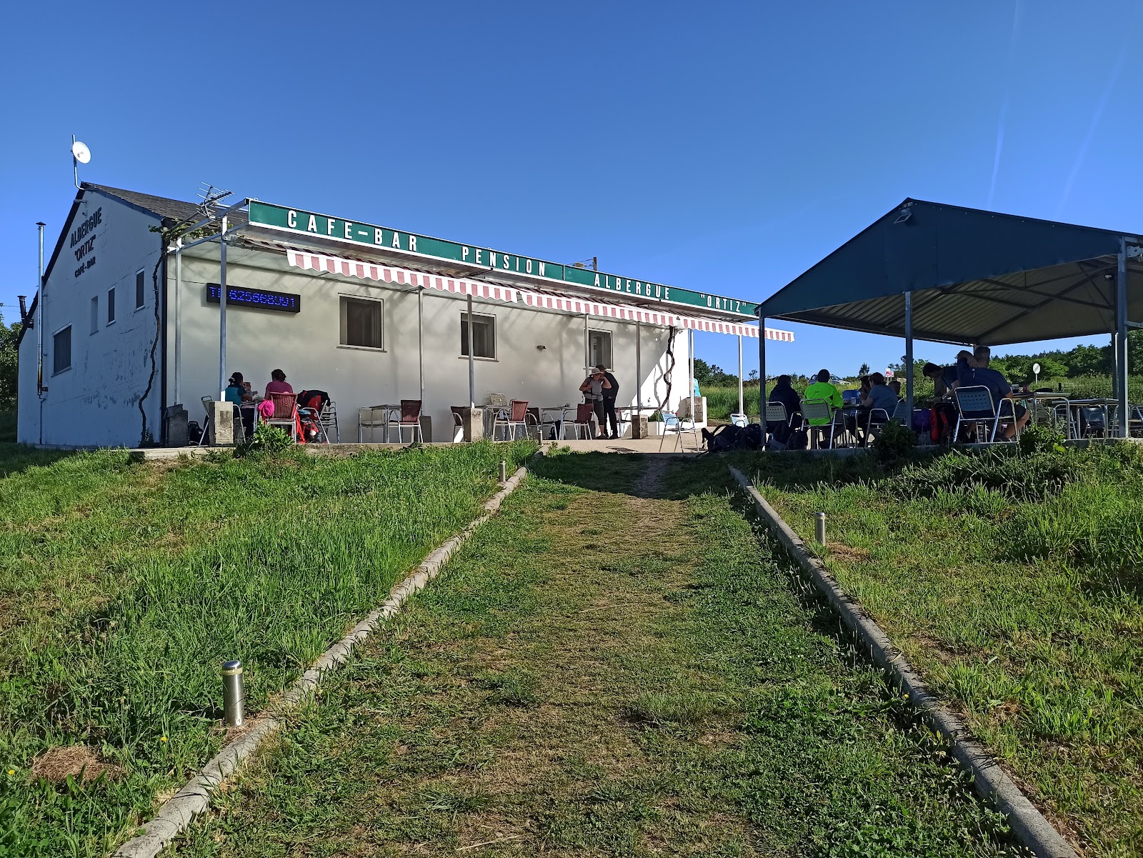
Albergue Ortiz
1.9 / 5 892 reviews
Hosteria de Gonzar
4.2 / 5 901 reviews
Casa Perdigueira
0 0