
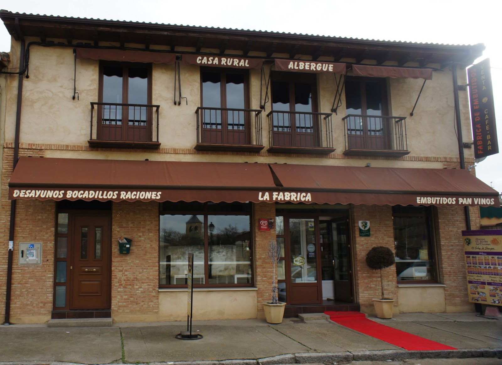
Camino locality guide
Mansilla de las Mulas
Places to stay, practical details and the walk ahead in Mansilla de las Mulas.
About this stop
A little about Mansilla de las Mulas
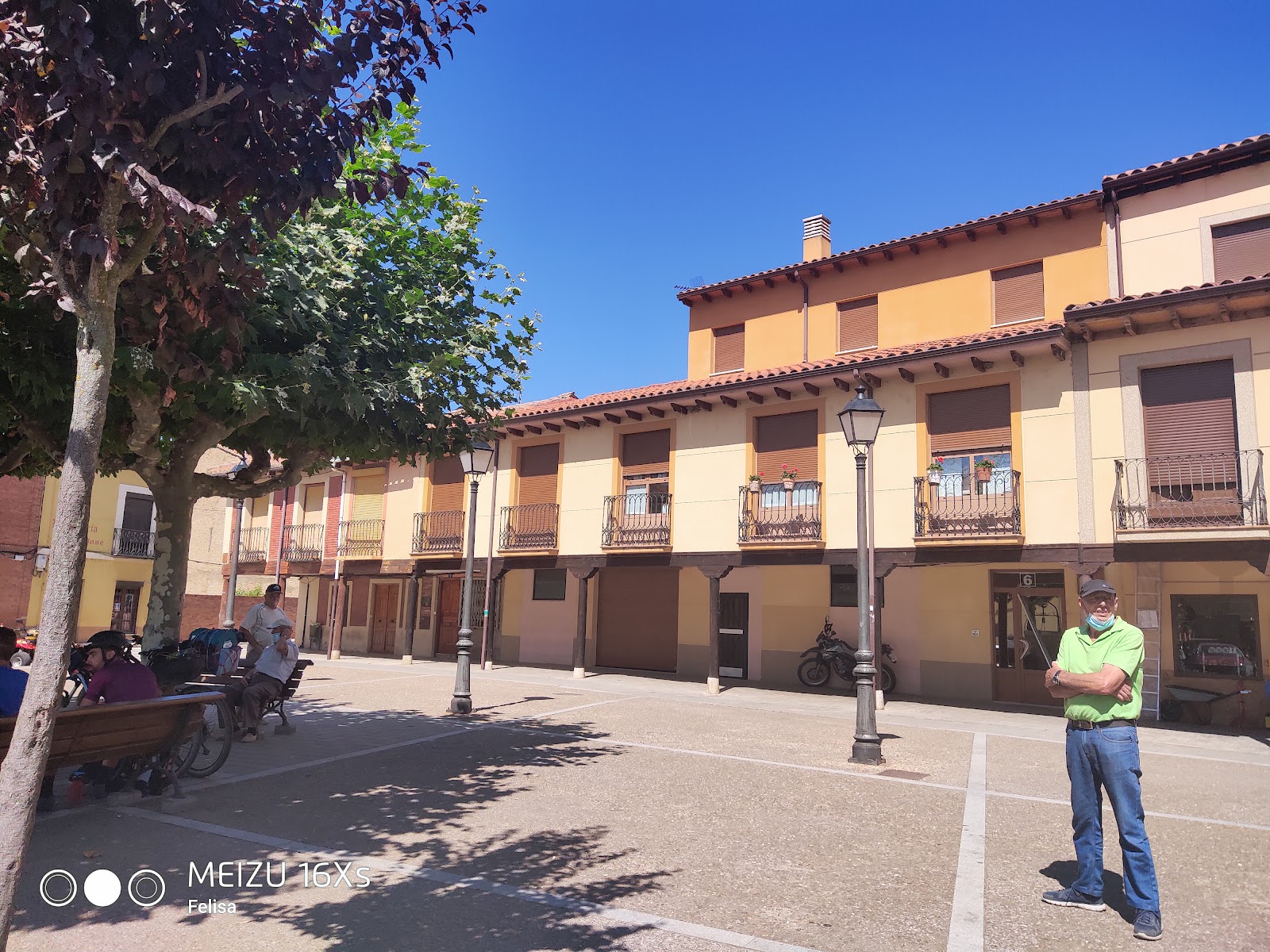
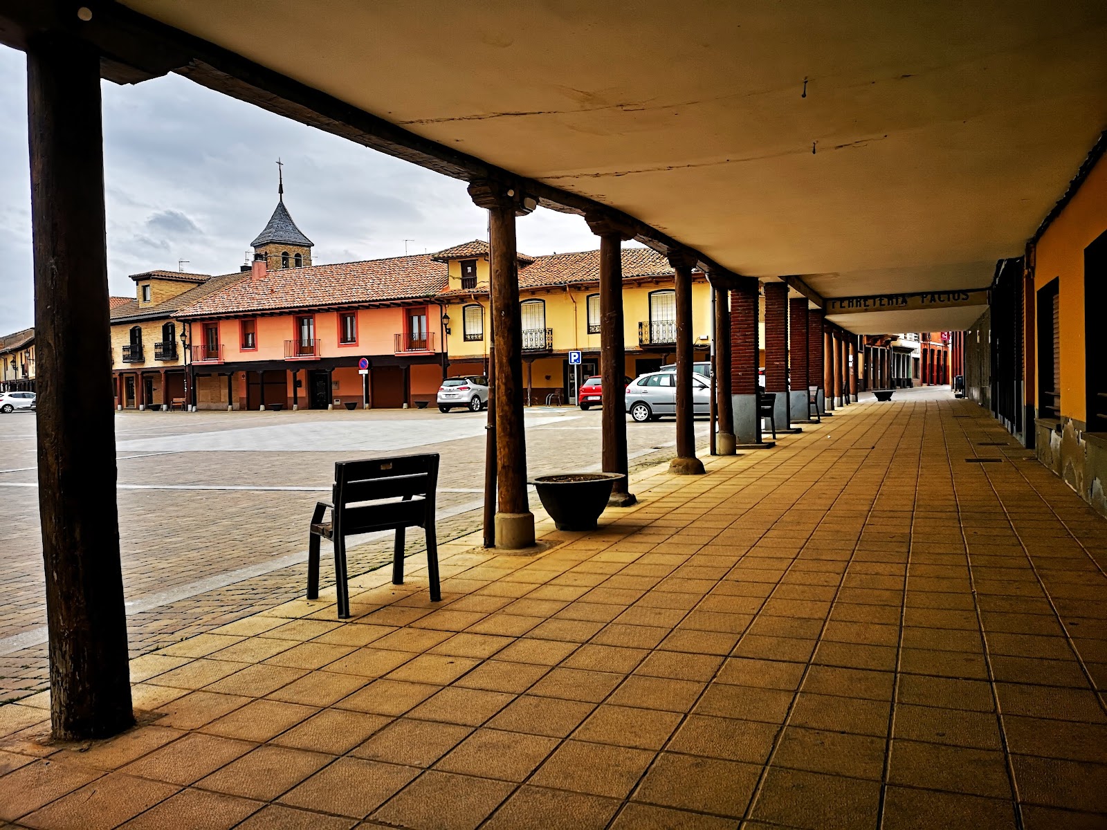
Mansilla de las Mulas is a historic locality on the Camino de Santiago, known for its well-preserved medieval walls and rich history. Founded in the 10th century, the town served as a defensive stronghold during the Reconquista, a period of Christian reconquest against the Moors. The town's name, "Mansilla de las Mulas," is derived from its role as a center for mule trade during the Middle Ages.
As a stop on the Camino de Santiago, Mansilla de las Mulas has long provided shelter and services for pilgrims. The town's Santa María Church, built in the 12th century, is a notable example of Romanesque architecture and a testament to the importance of the Camino during that time. Today, Mansilla de las Mulas continues to welcome pilgrims, offering accommodations and amenities to support their journey.
Useful in this stop
- ATM
- Bar / Restaurant
- Food Shop
- Medical Clinic
- Pharmacy
- Post Office
Where to stay
Pilgrim hostels and albergues
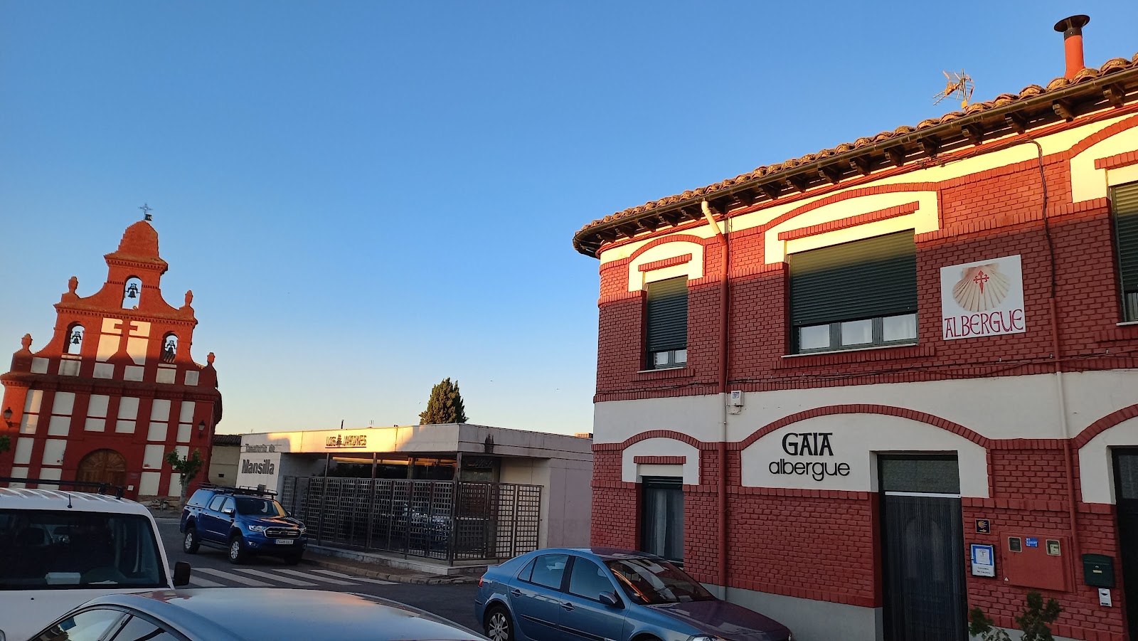
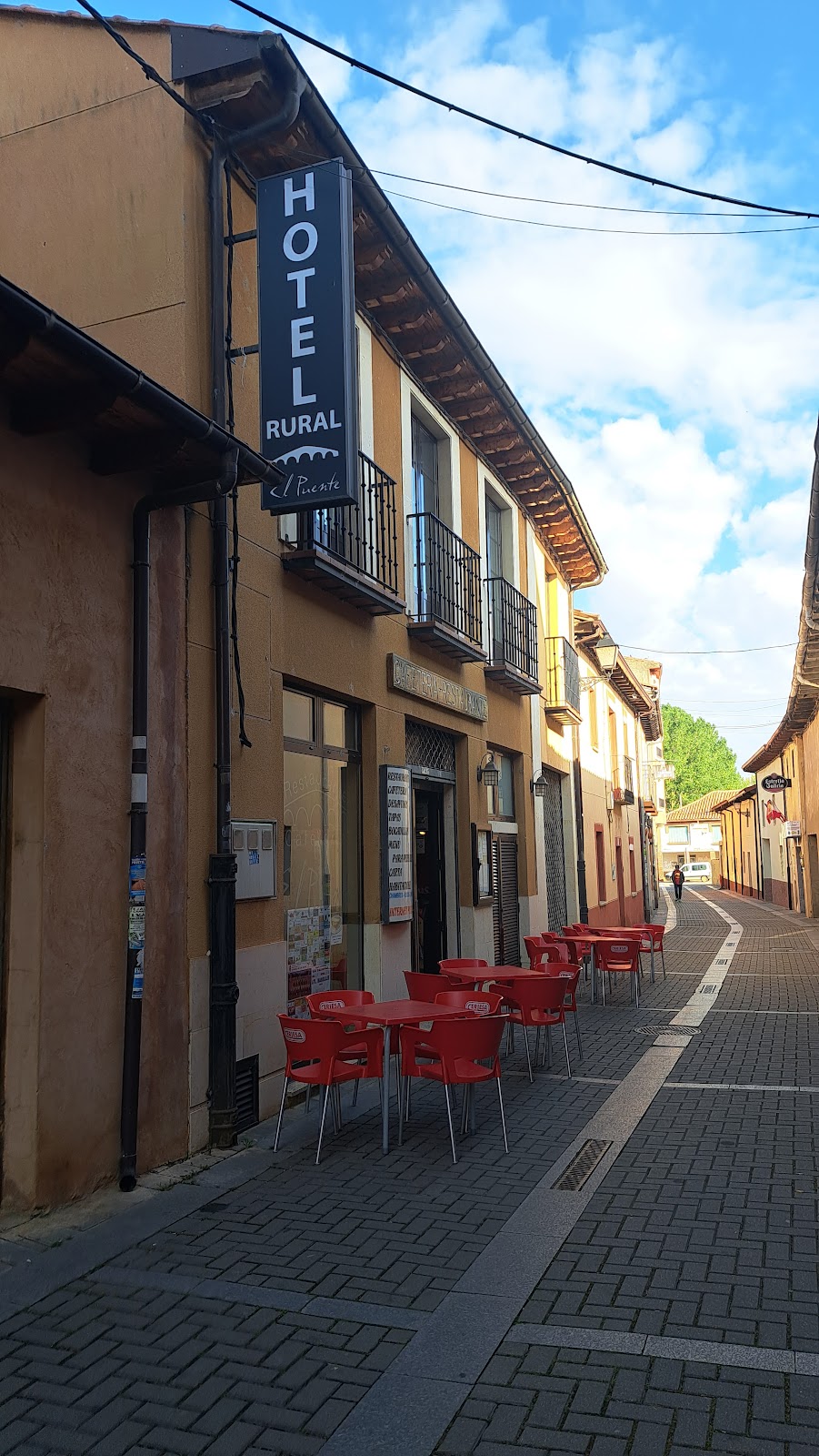
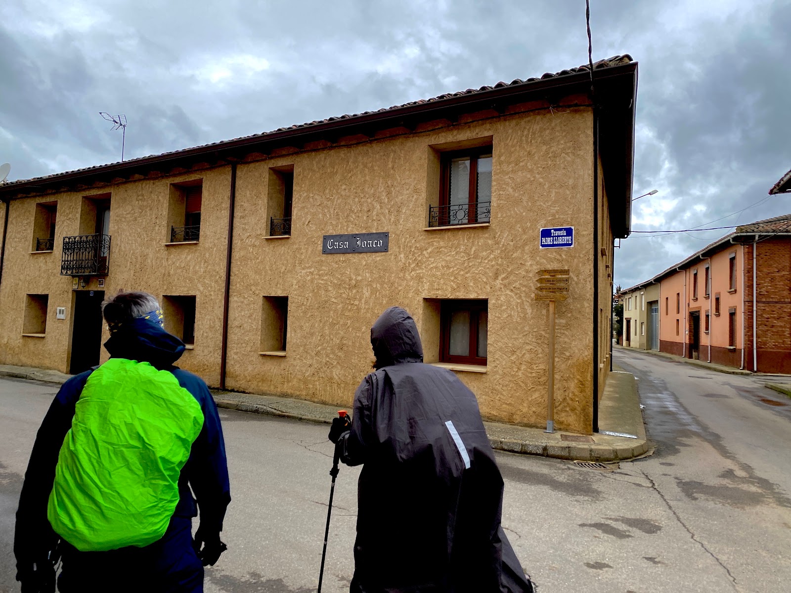
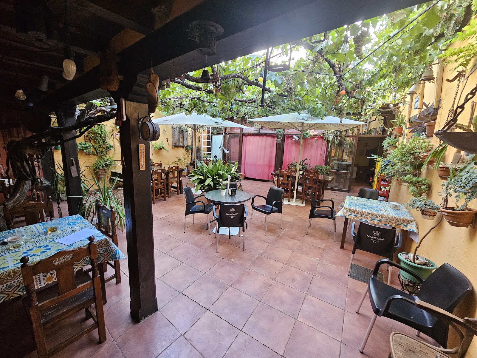
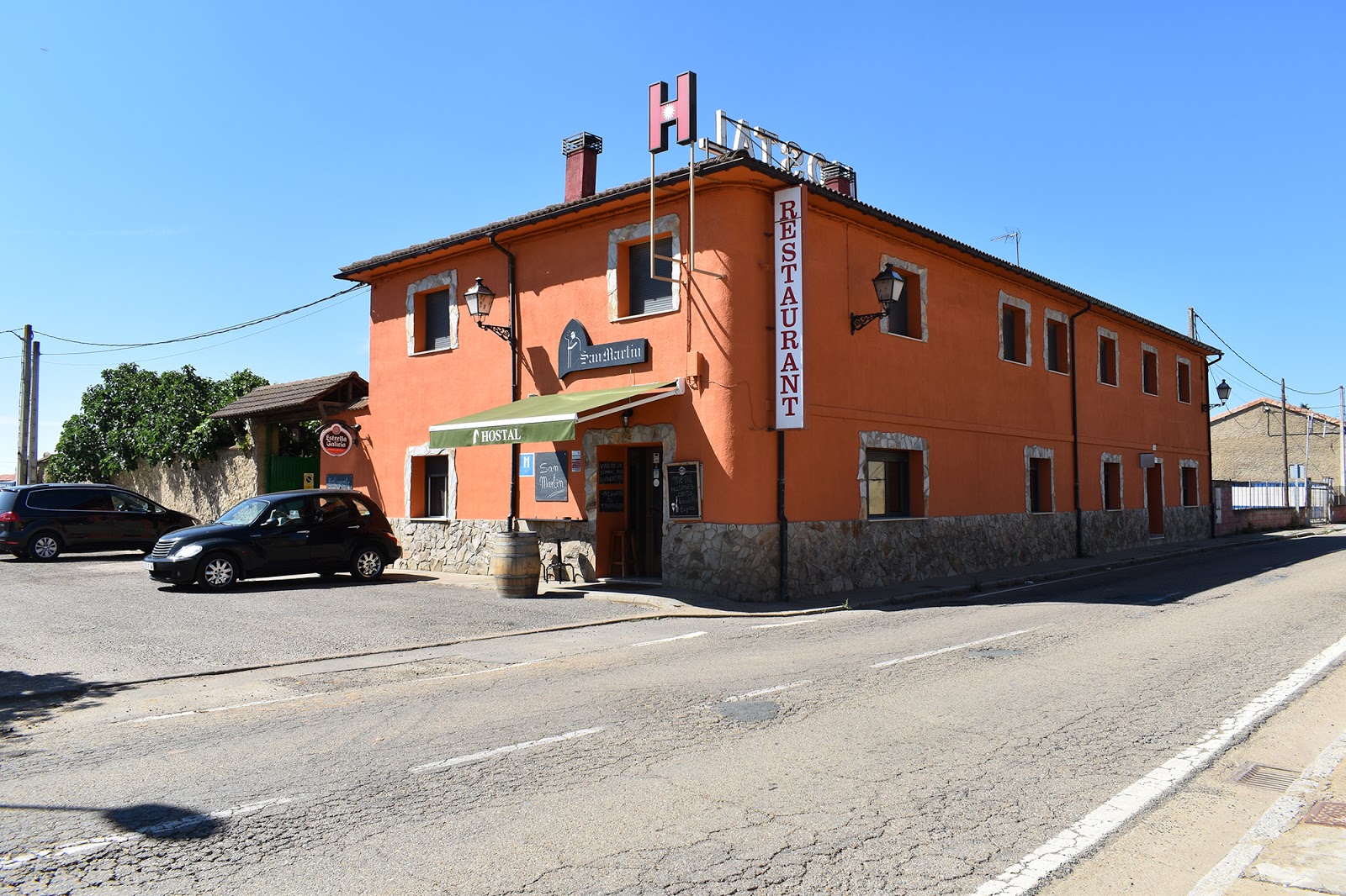
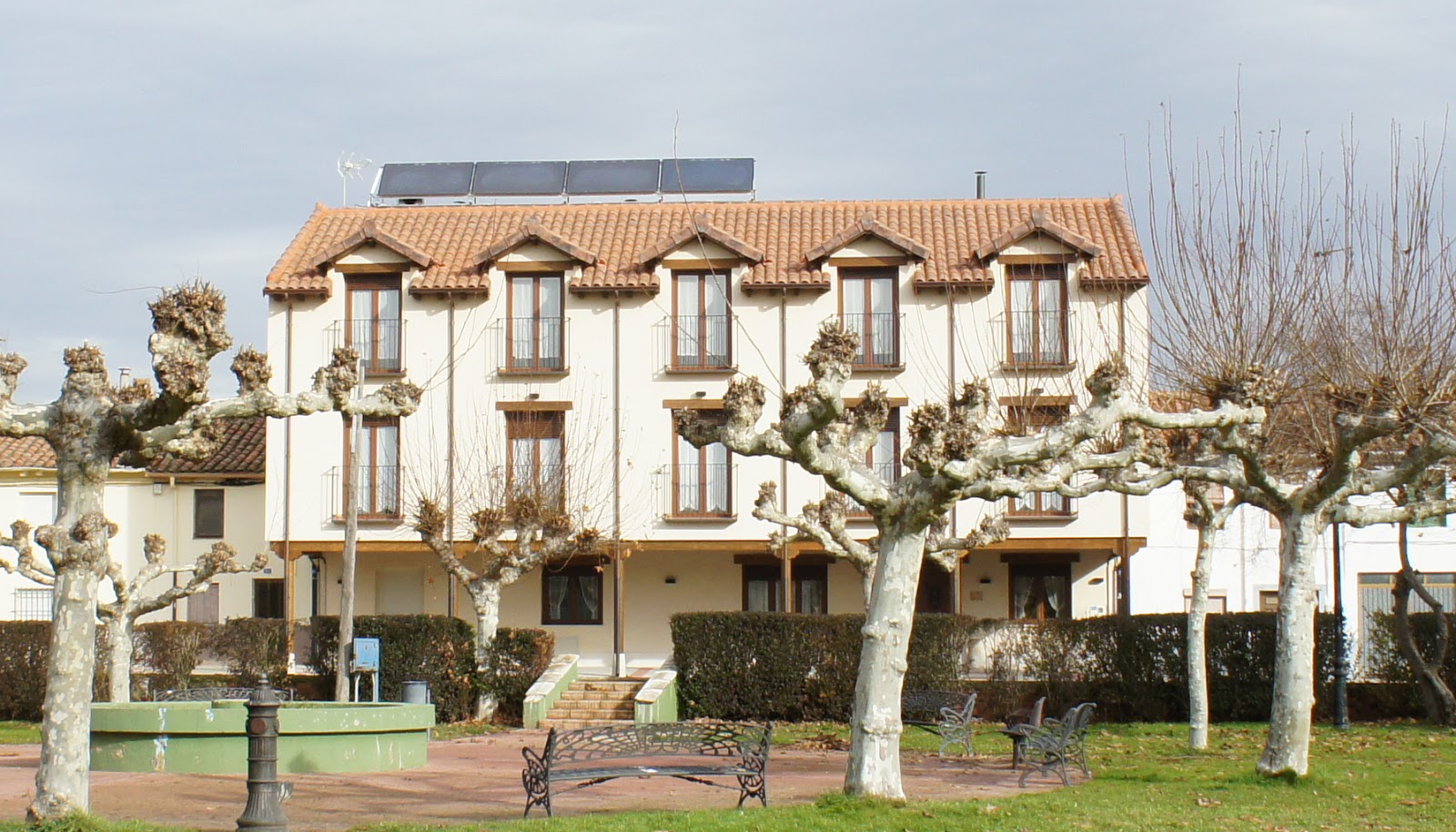
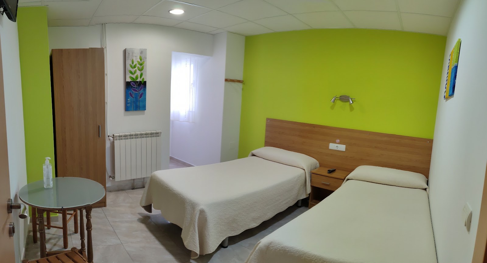
Explore pilgrim accommodation in Mansilla de las Mulas. Open a listing for photos, reviews and contact details.
Where to stay
Hotels, guesthouses and other stays
Looking beyond pilgrim hostels? Compare hotels, pensions, guesthouses, apartments, and other places to stay.
Practical answers
Before you get here
Which Camino routes pass through Mansilla de las Mulas?
Mansilla de las Mulas is included on Camino Frances.
How many places to stay are there in Mansilla de las Mulas?
Mansilla de las Mulas has 14 places to stay listed on CaminoMaps, with ratings and booking or direct-contact options where available.
What services are available in Mansilla de las Mulas?
Services listed for Mansilla de las Mulas include ATM, Bar / Restaurant, Food Shop, Medical Clinic, Pharmacy, Post Office.
What is the next stop after Mansilla de las Mulas on Camino Frances?
The onward option is Puente Villarente (6.4 km).