
Camino locality guide
Zariquiegui
Places to stay, practical details and the walk ahead in Zariquiegui.
About this stop
A little about Zariquiegui
Zariquiegui is a small village located in the Navarre region of Spain. Historically, this locality has been a resting point for pilgrims traveling the Camino de Santiago since the Middle Ages. The village is nestled at the foot of the Alto del Perdón, a significant hill that pilgrims must climb to continue their journey. The hill is known for its challenging ascent and the iconic windmill park at the summit, which features a monument dedicated to the pilgrims of the Camino de Santiago.
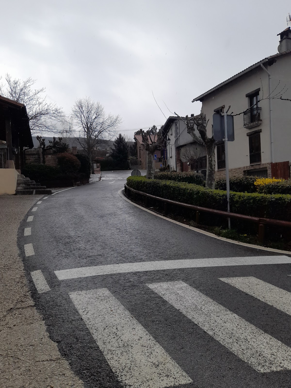
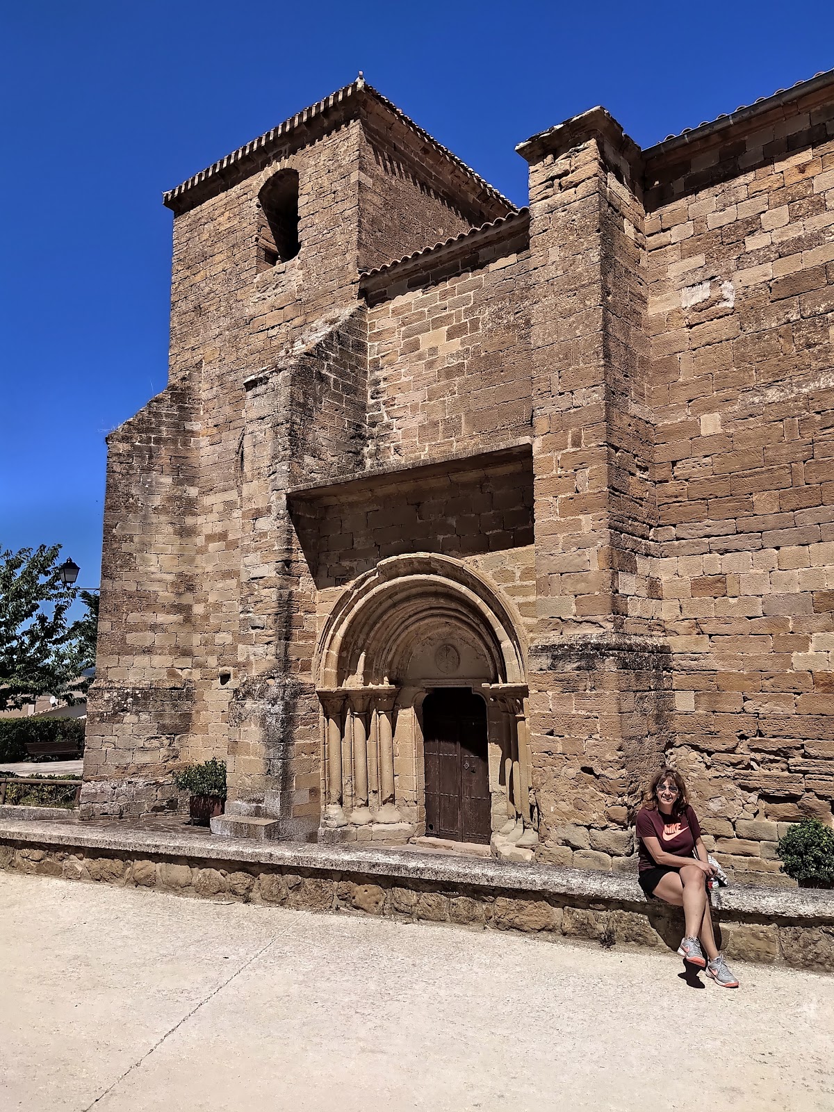
The village itself has preserved its historical charm, with narrow streets and traditional stone houses. One of the main points of interest in Zariquiegui is the Church of San Andrés, a 13th-century Romanesque church that has been restored over the years. The church is a testament to the village's long-standing connection to the Camino de Santiago and serves as a place for pilgrims to reflect and pray during their journey.
Useful in this stop
- Bar / Restaurant
Where to stay
Pilgrim hostels and albergues
Explore pilgrim accommodation in Zariquiegui. Open a listing for photos, reviews and contact details.
Practical answers
Before you get here
Which Camino routes pass through Zariquiegui?
Zariquiegui is included on Camino Frances.
How many places to stay are there in Zariquiegui?
Zariquiegui has 1 place to stay listed on CaminoMaps, with ratings and booking or direct-contact options where available.
What services are available in Zariquiegui?
Services listed for Zariquiegui include Bar / Restaurant.
What is the next stop after Zariquiegui on Camino Frances?
The onward option is Uterga (5.9 km).