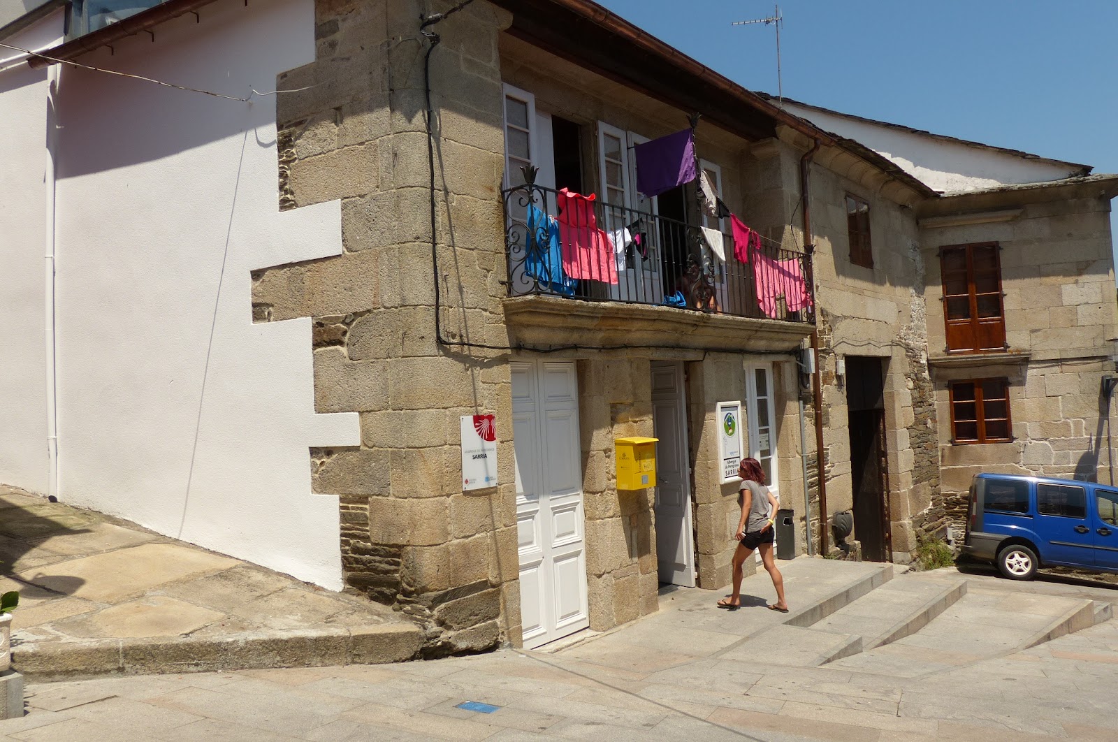
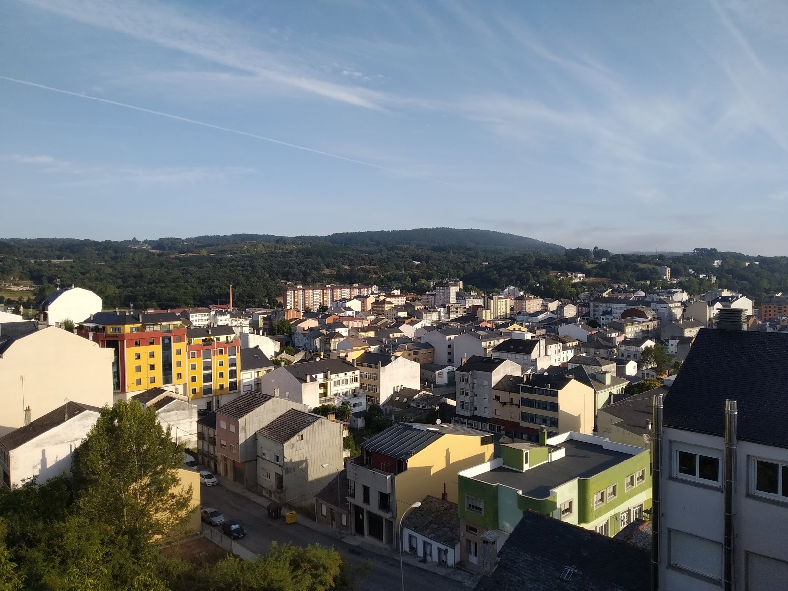
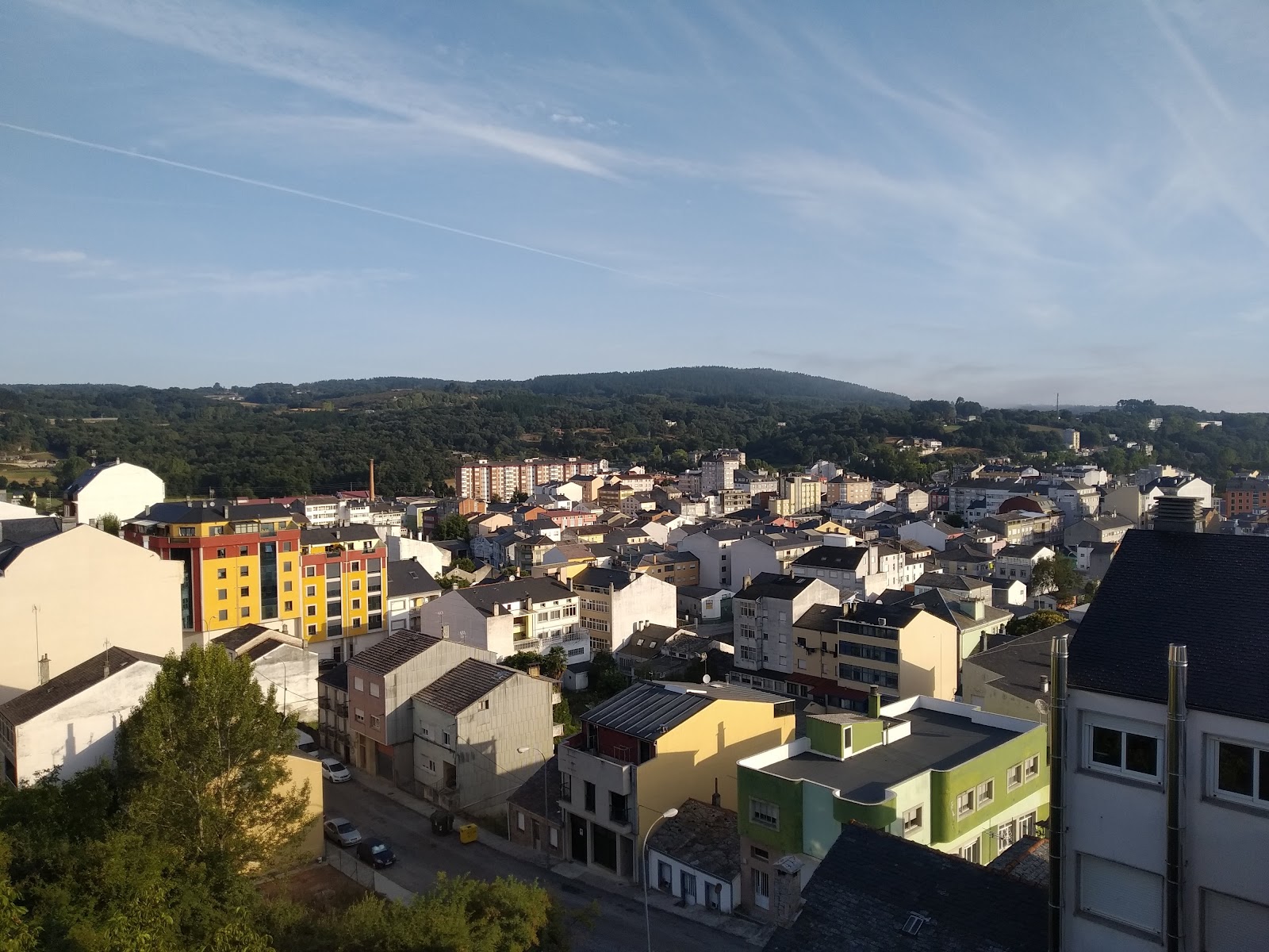
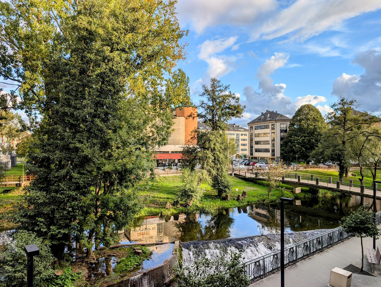
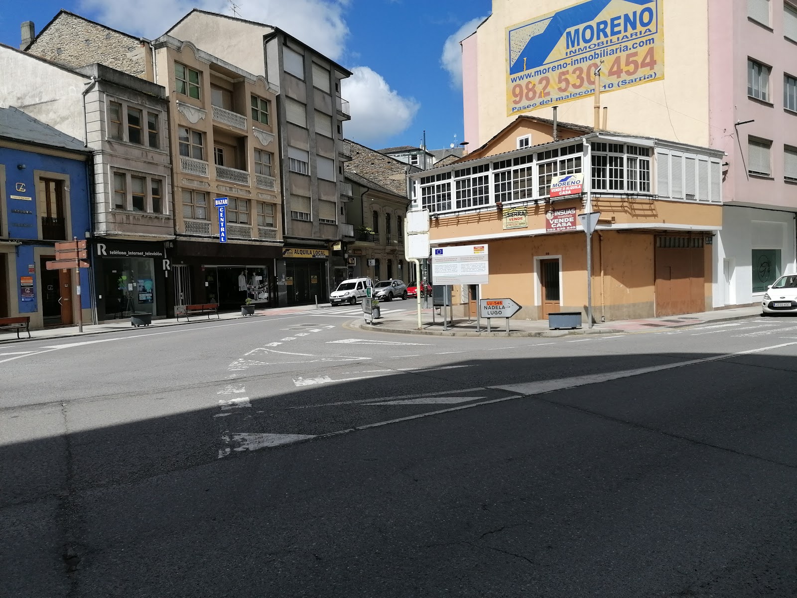
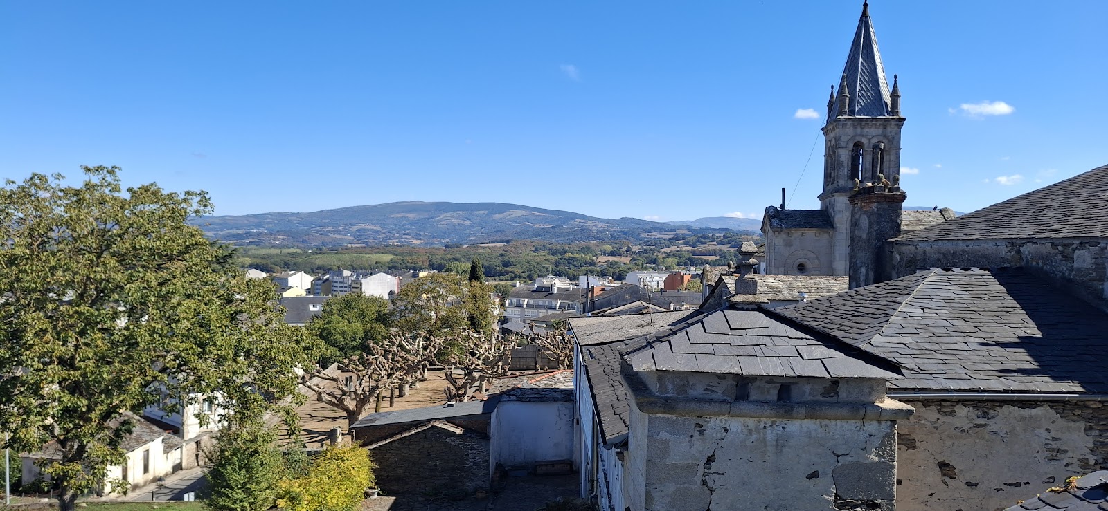
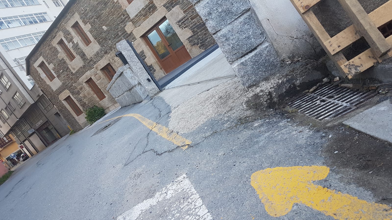
Sarria
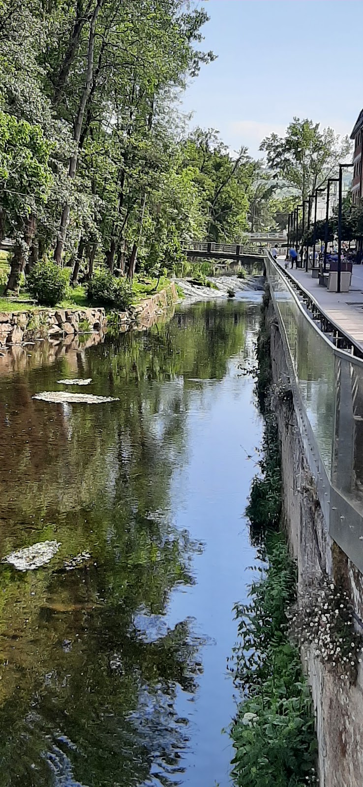
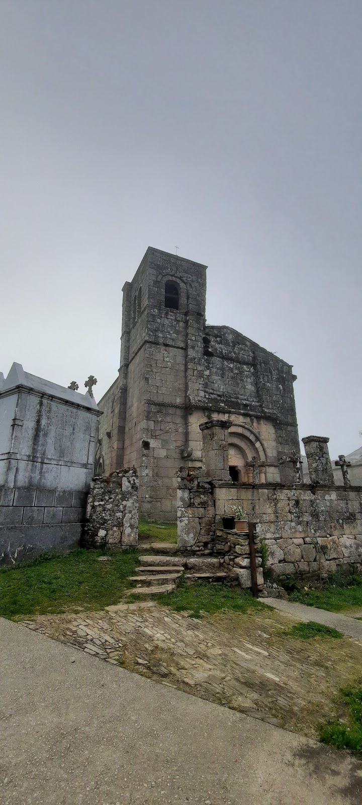
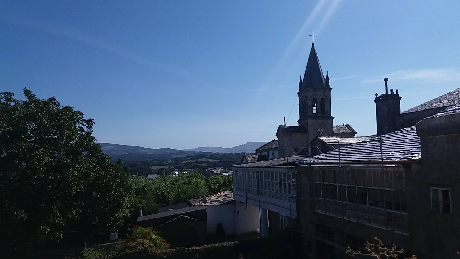
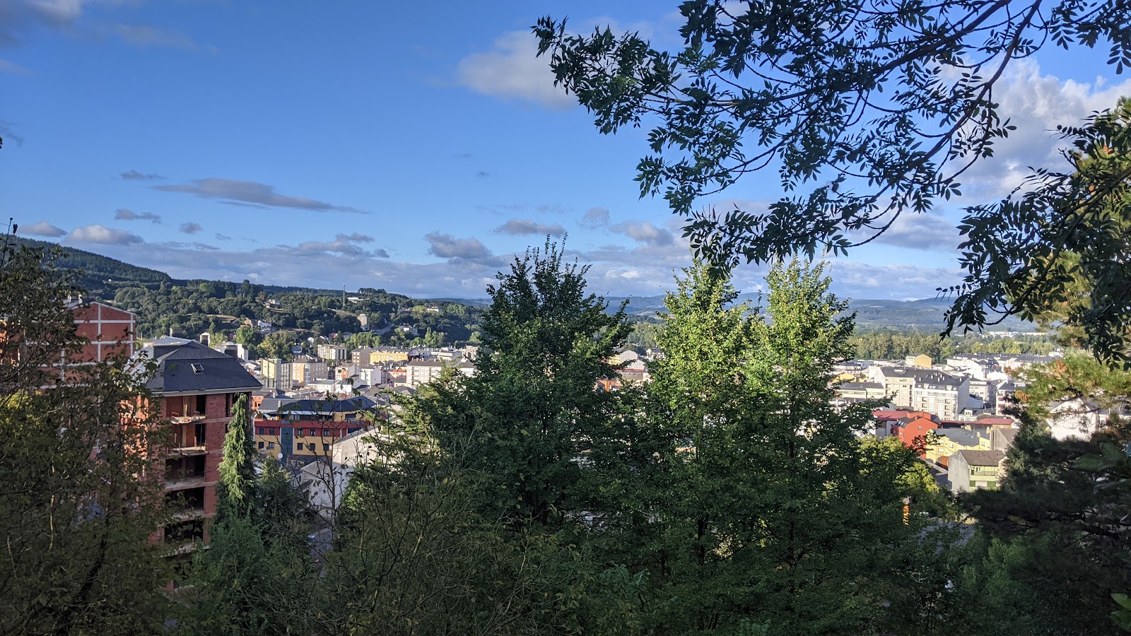
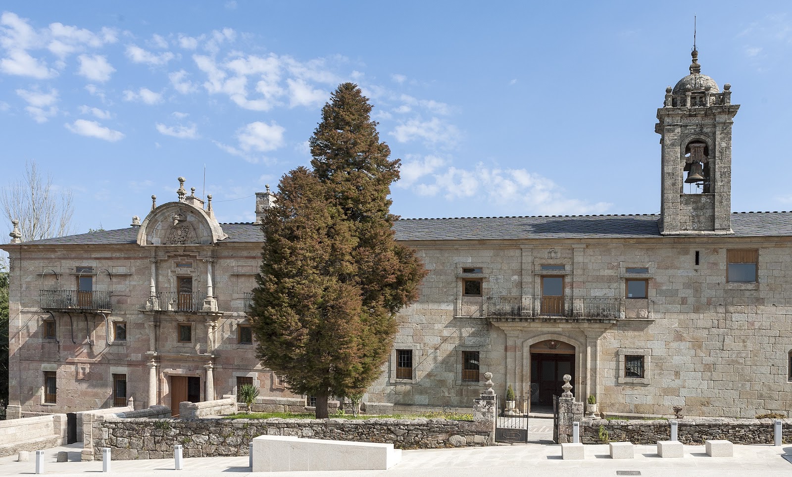
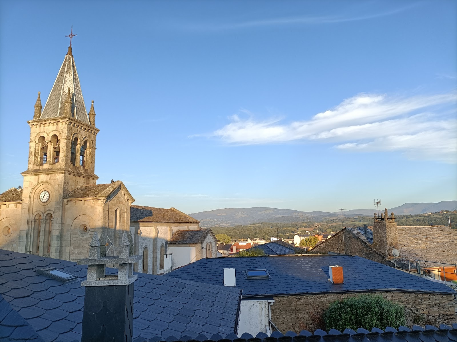
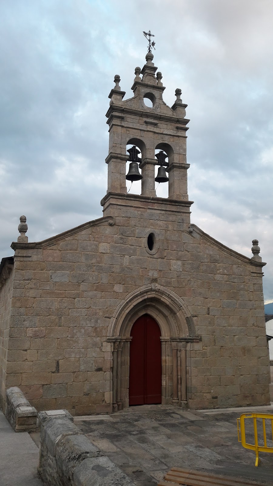
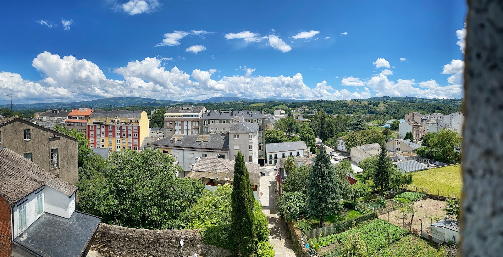
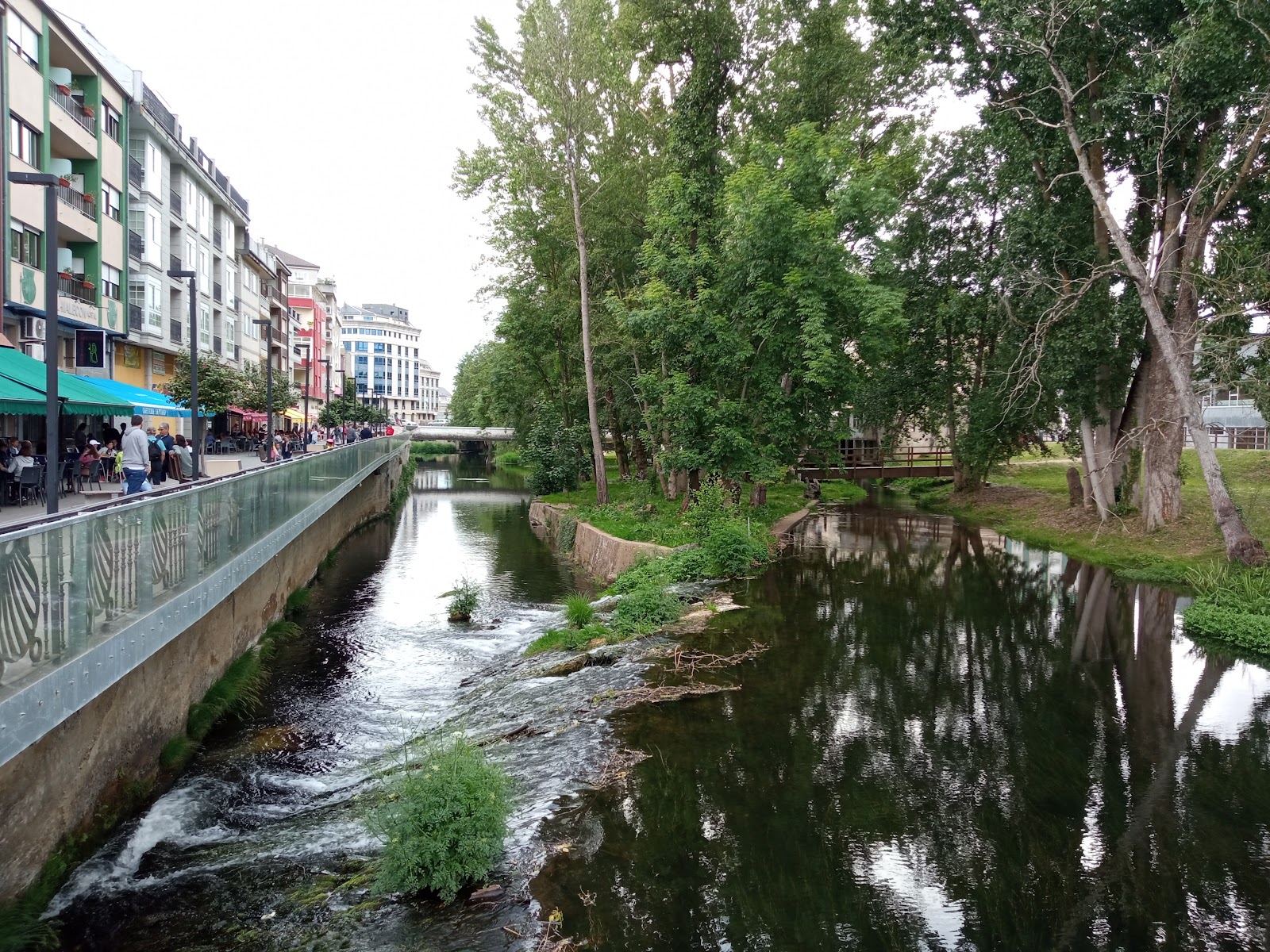
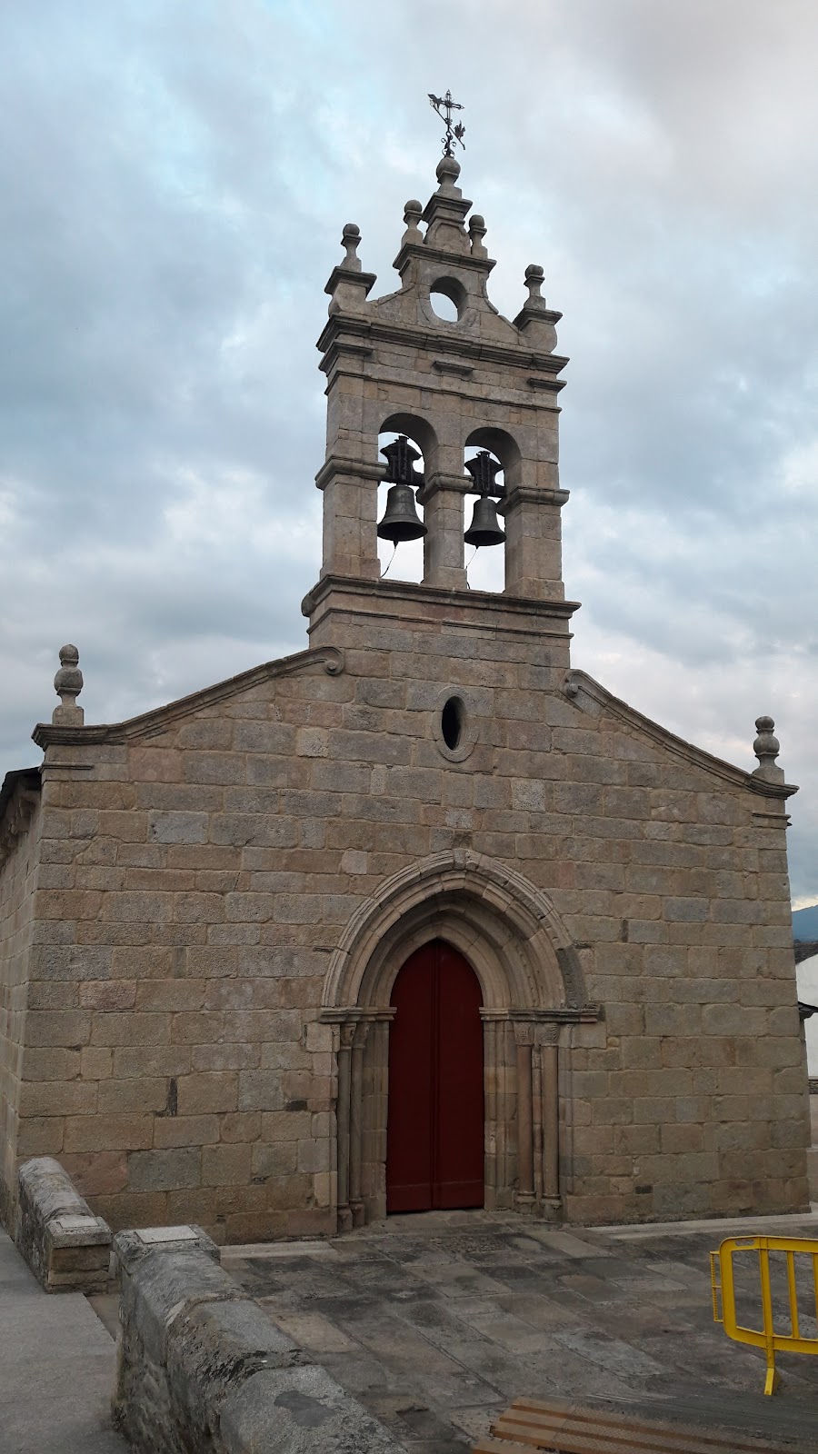
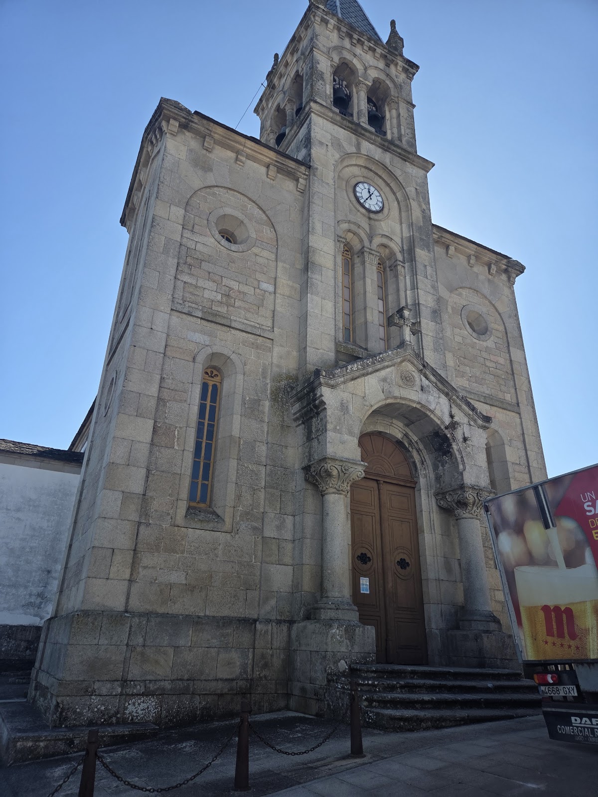
Sarria is a significant historical locality on the Camino de Santiago. Located in the province of Lugo, Galicia, it has been an important stop for pilgrims since the Middle Ages. The town's strategic location near the River Sarria made it a convenient resting point for weary travelers. Sarria's history dates back to Roman times, and its importance grew during the Middle Ages due to its proximity to the Camino. The town is home to several historical landmarks, including the Church of Santa Mariña, which was originally built in the 13th century and later reconstructed in the 18th century. The Monastery of La Magdalena, founded in the 12th century, also played a significant role in the town's development, as it provided shelter and assistance to pilgrims. Today, Sarria remains a popular stop for pilgrims, as it marks the starting point for many who wish to complete the minimum 100 kilometers required to obtain the Compostela certificate. The town's rich history and welcoming atmosphere continue to make it an essential part of the Camino de Santiago experience.
Plan this stage in the app
Turn this route data into a practical day plan with live maps, elevation profiles, and stay planning.
- Track your live location on the route map.
- Check distance and elevation before you start.
- Save your preferred stays and book when ready.

Next on the route
Barbadelo
Barbadelo is a small village in the Galician region of Spain, known for its rich history and connection to the Camino de...
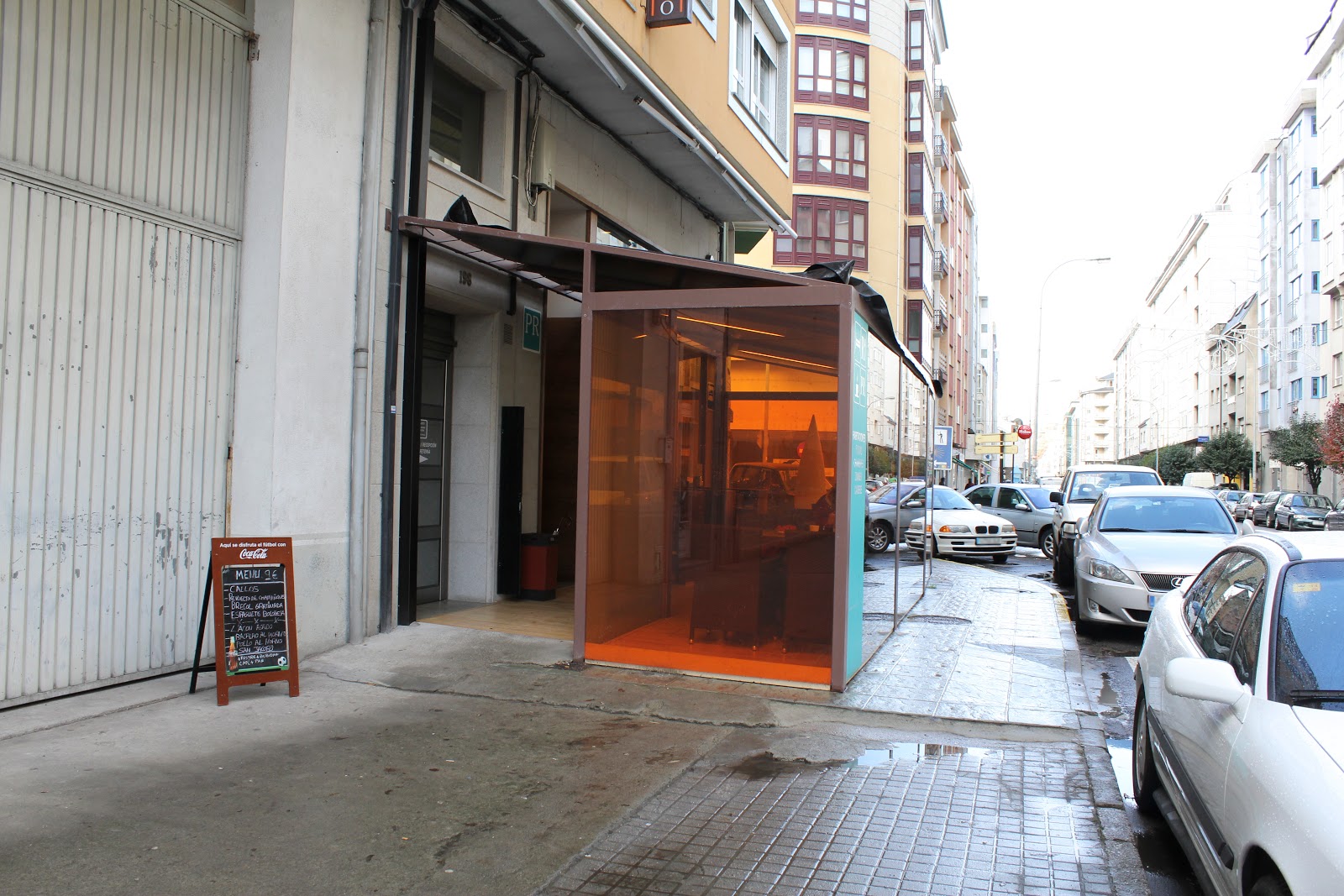
Bar / RestaurantFood Shop
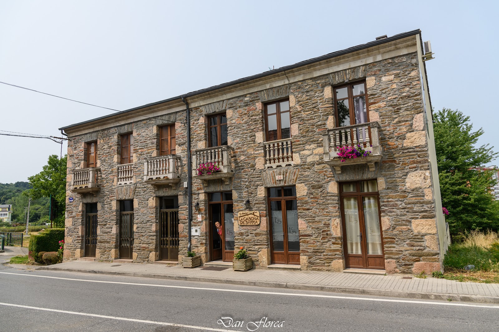
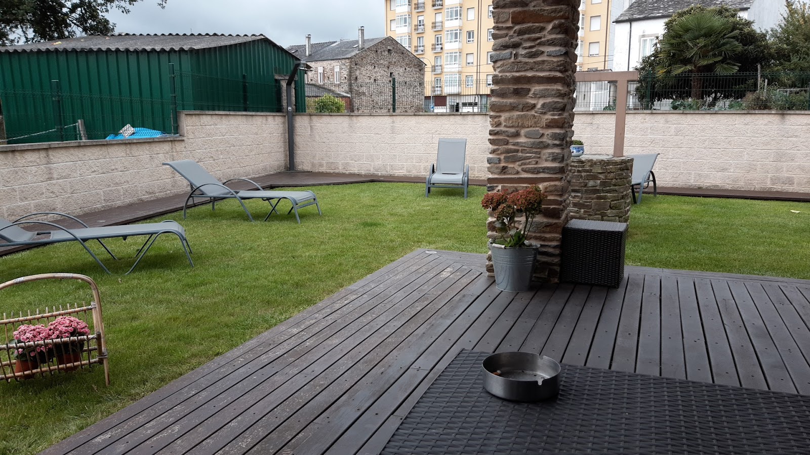
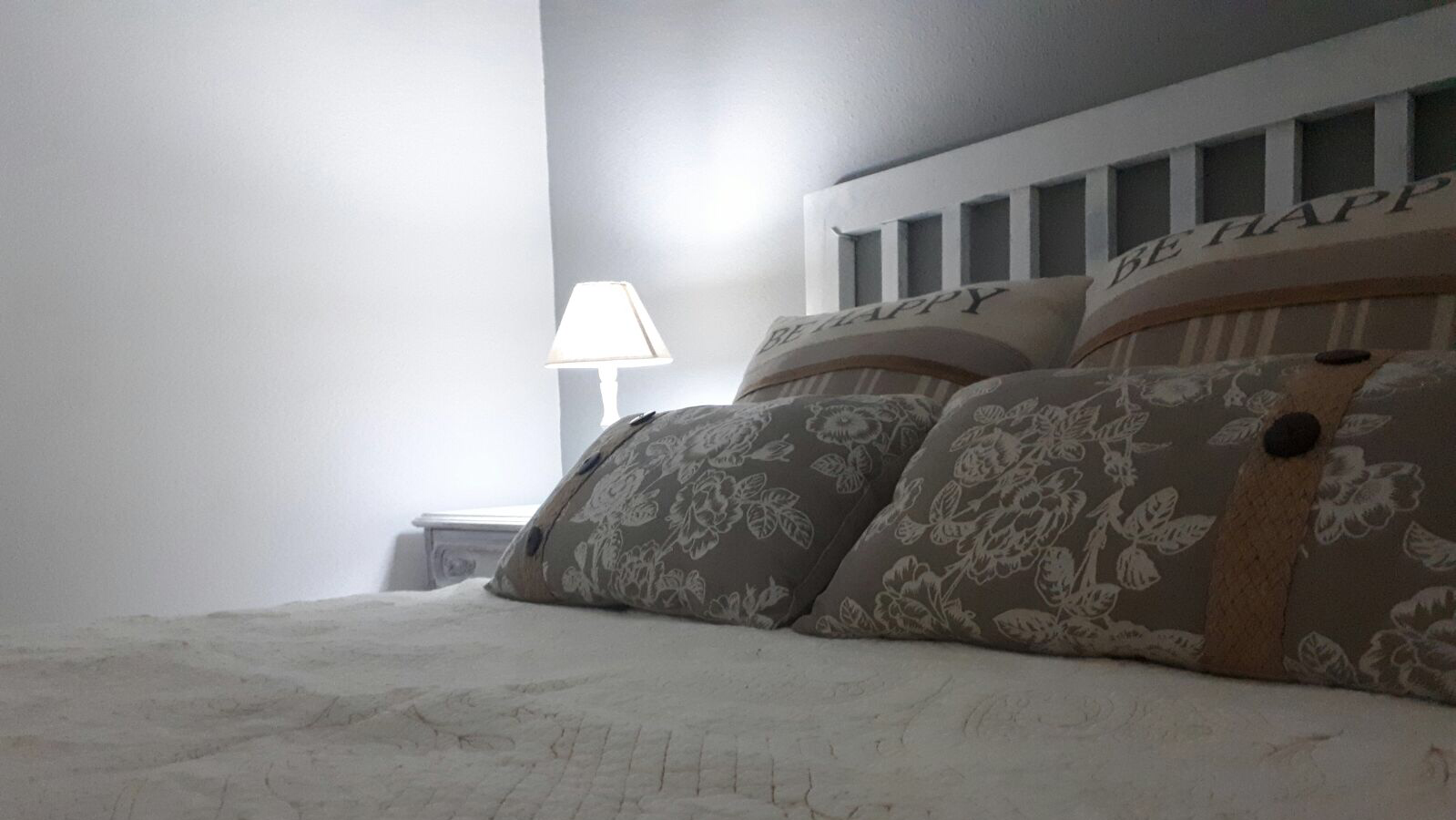
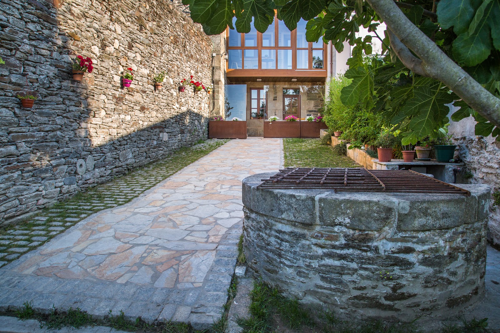
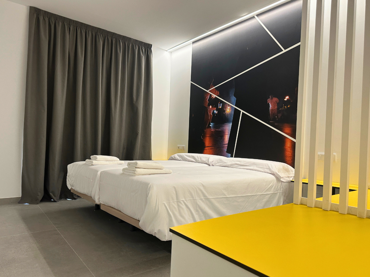
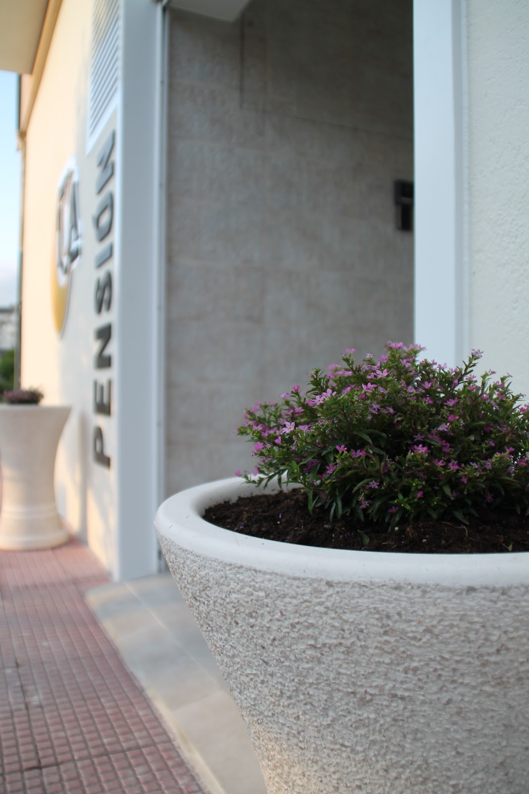
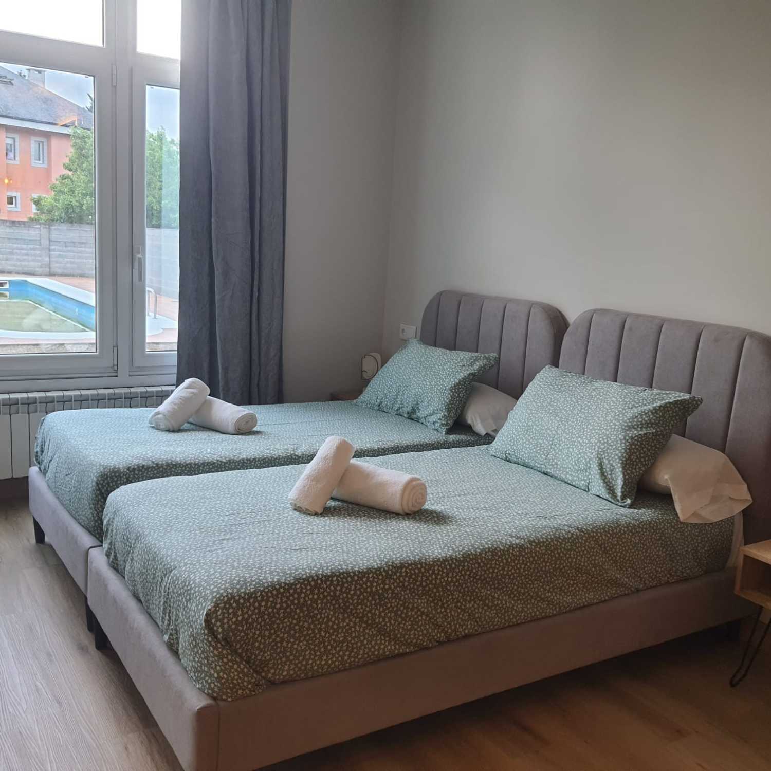
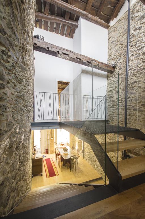
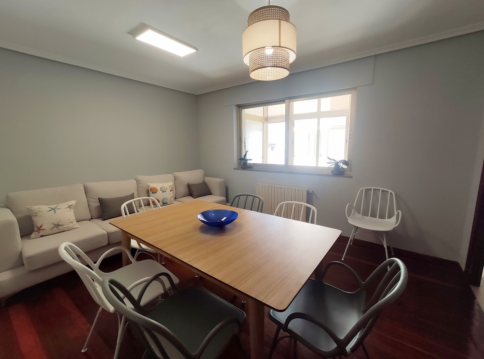
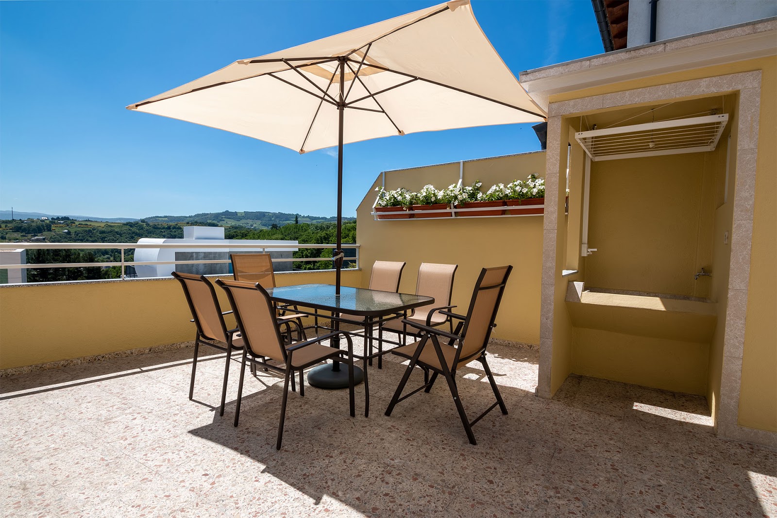
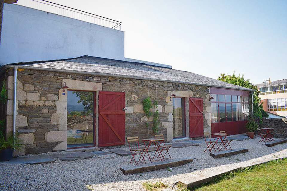
Open Locality Guide Accommodation in Sarria
Compare albergues, hostels, pensions, and hotels in this locality, then book or continue planning in the app.
Albergue A Pedra
4.6 / 5 516 reviews
Albergue Alma do Camiño
4.2 / 5 607 reviews
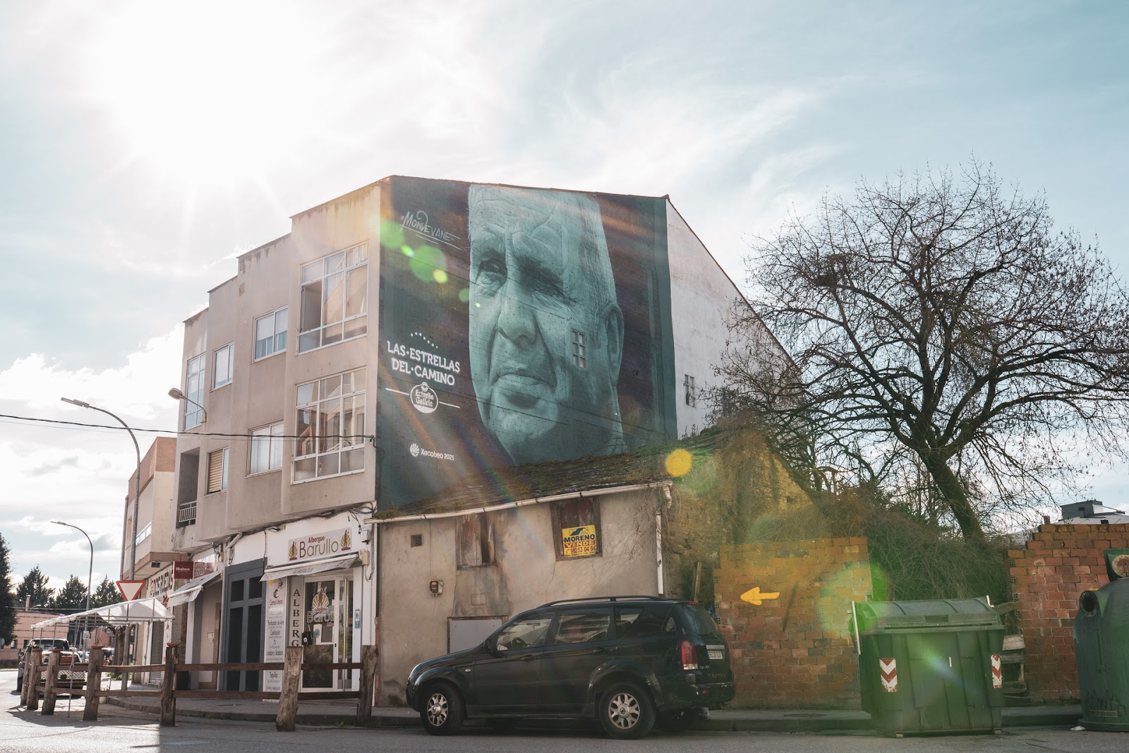
Albergue Barullo Sarria
4.4 / 5 335 reviews
Albergue Casa Peltre
4.5 / 5 314 reviews
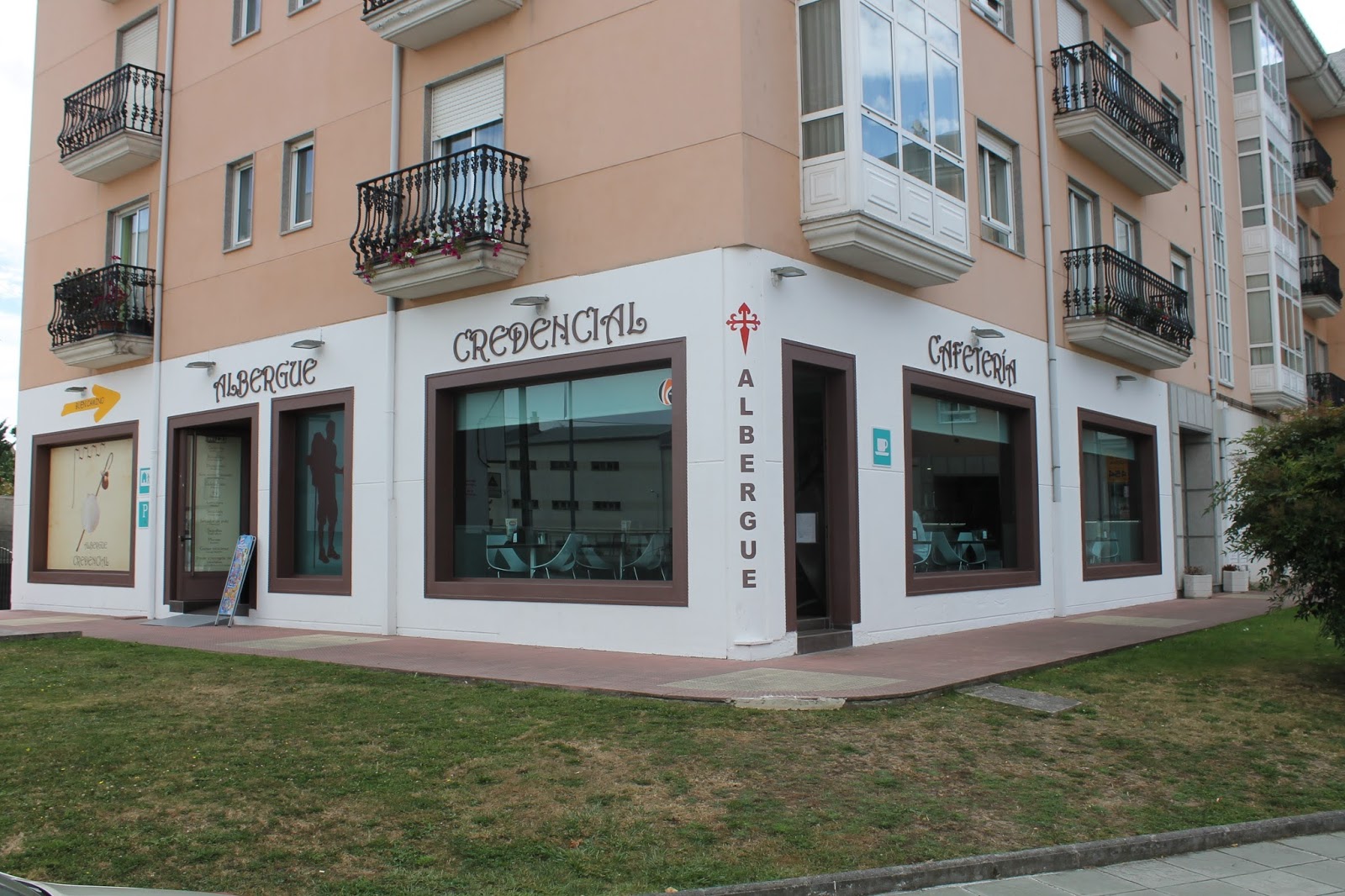
Albergue Credencial
4.2 / 5 442 reviews
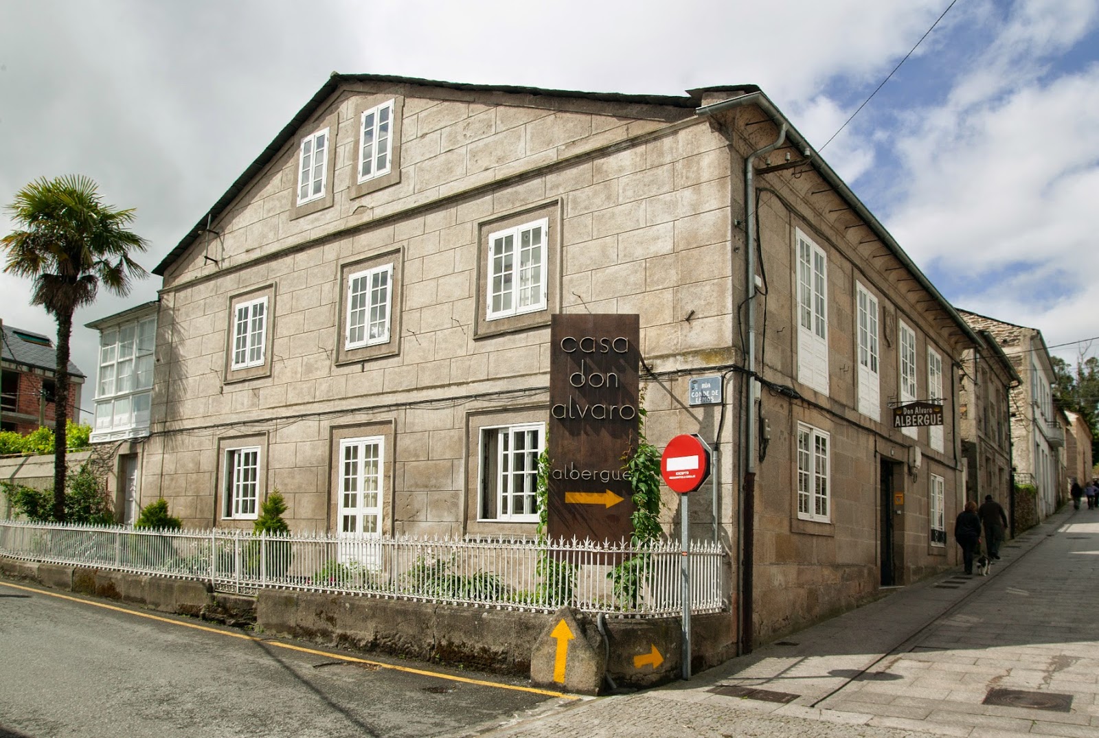
Pensión Albergue Don Álvaro
4.5 / 5 322 reviews
Albergue Internacional
4.1 / 5 63 reviews
Albergue La Casona
4.7 / 5 76 reviews
Albergue los Blasones
4.0 / 5 263 reviews
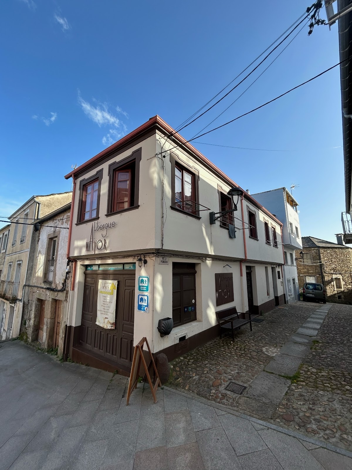
Albergue Mayor
4.5 / 5 215 reviews
Albergue Monasterio de La Magdalena
4.0 / 5 282 reviews
Albergue O Durmiñento
3.9 / 5 308 reviews
Albergue Oasis
4.6 / 5 450 reviews
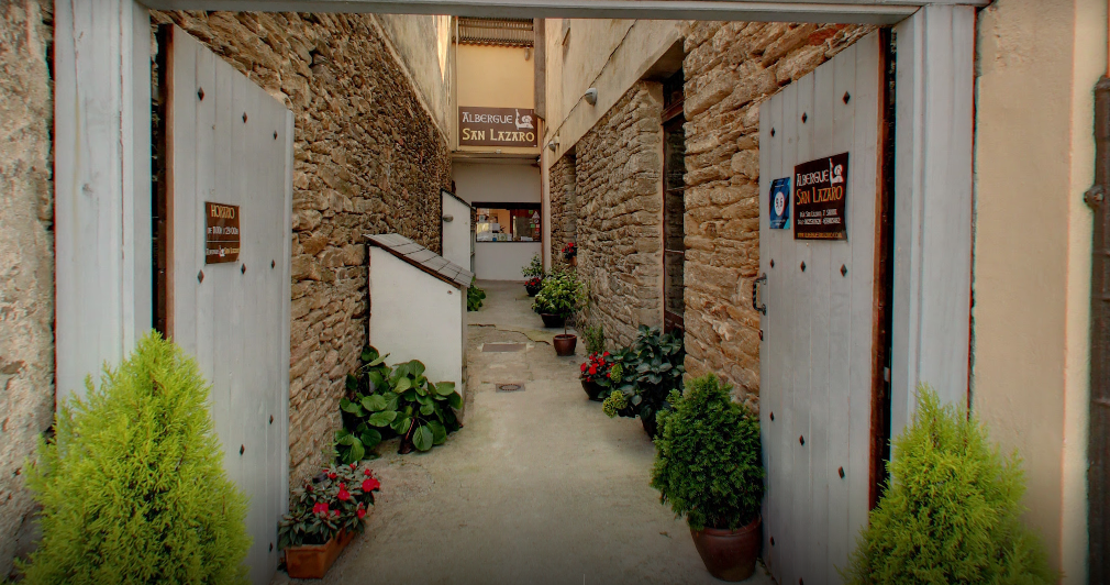
Albergue San Lázaro Sarria
4.6 / 5 564 reviews
Apartamentos Camino de Santiago
3.6 / 5 161 reviews
Casa Baran
4.8 / 5 84 reviews
Casa Batallon
4.3 / 5 120 reviews
City Apartments dpCristal
4.4 / 5 130 reviews
High Rentxacobeo
4.8 / 5 28 reviews
Hostal El Malecón
4.4 / 5 293 reviews
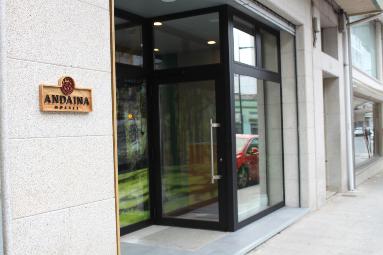
Hostel Andaina
4.6 / 5 242 reviews
Pension Blasones
4.0 / 5 198 reviews
Pension O Camiño
4.7 / 5 69 reviews
Pensión Albergue Matias Locanda
3.7 / 5 90 reviews
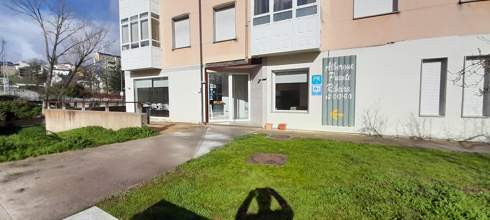
Pensión Albergue Puente Ribeira
4.4 / 5 467 reviews
Pensión Escalinata
4.2 / 5 332 reviews
Pensión La Estación
3.4 / 5 364 reviews
Rentxacobeo
4.2 / 5 61 reviews
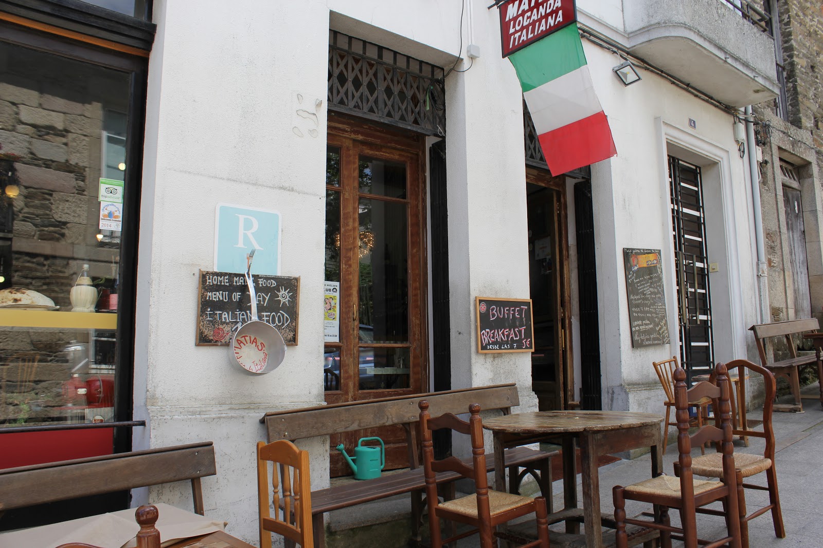
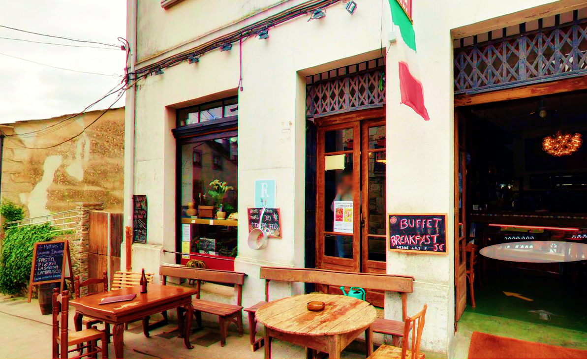
Restaurante/Pizzería Matías Locanda
4.6 / 5 947 reviews
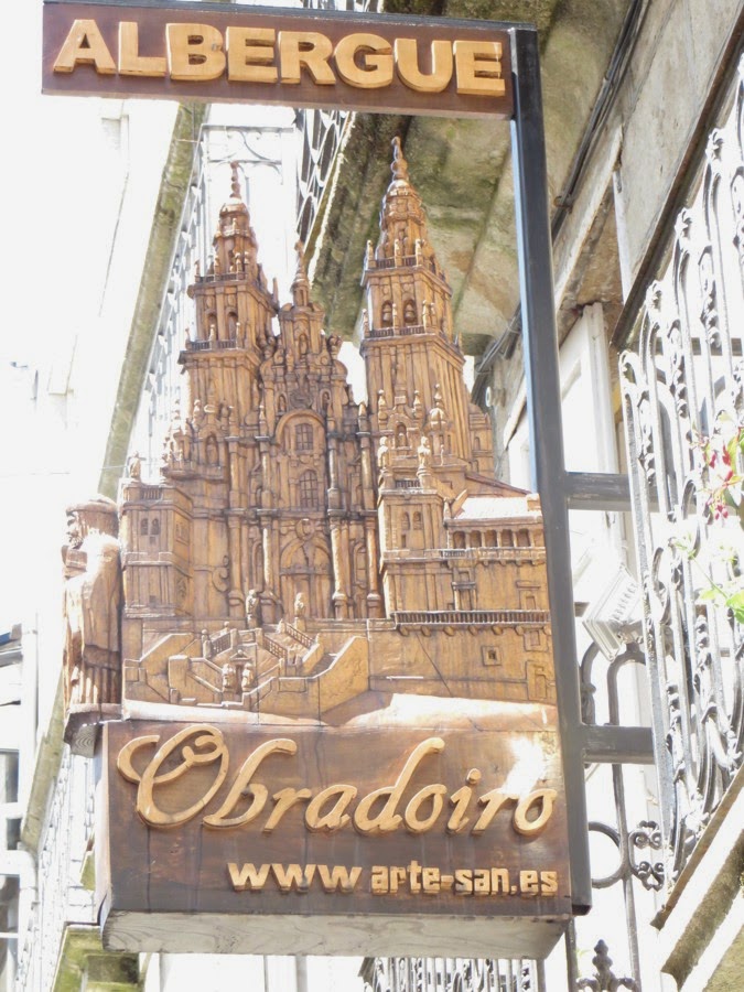
Obradoiro
4.5 / 5 331 reviews
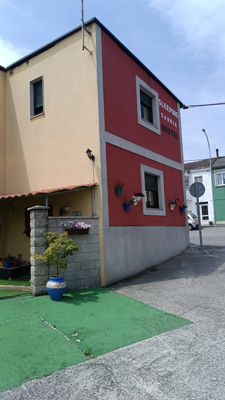
Sleeping Sarria Hostel
4.8 / 5 117 reviews
Casa Matías
4.0 / 5 522 reviews
Pension Siete En El Camino
4.6 / 5 265 reviews
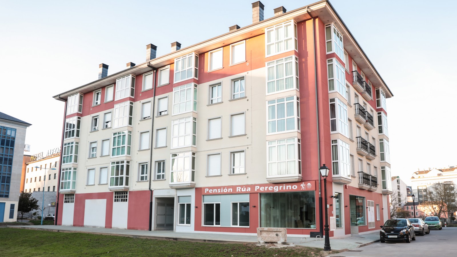
Pensión Rúa Peregrino
4.7 / 5 244 reviews
Boutique Hostal La Casona De Sarria
4.0 / 5 1 reviews
dpCristal - Café Bar Restaurante Hostal (Sarria)
4.2 / 5 1097 reviews
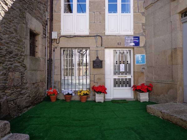
Pensión Aqua Rooms Sarria (Alojamiento Camino de Santiago)
4.6 / 5 176 reviews
La Casona de Sarria Complejo Turístico
4.6 / 5 542 reviews
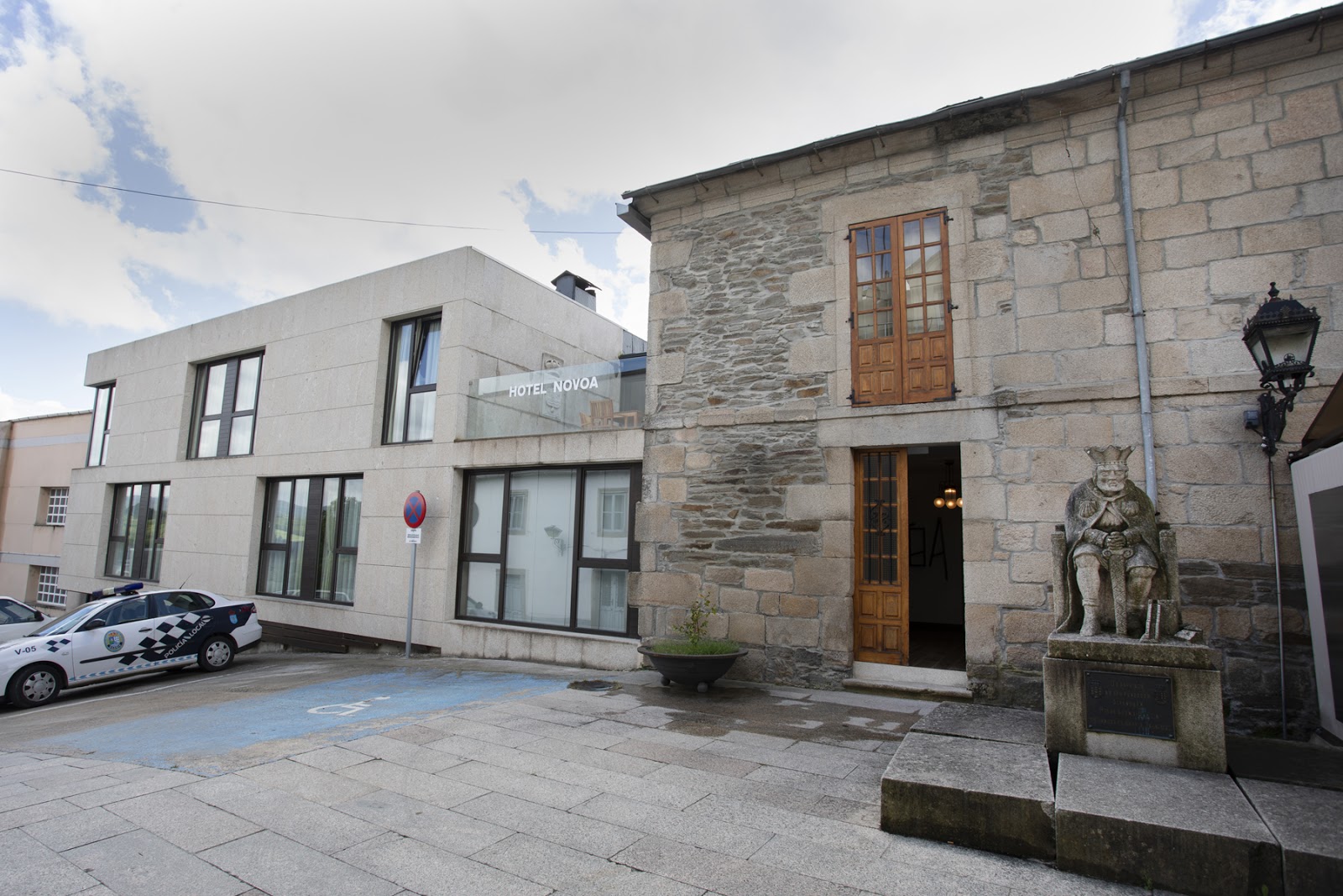
Hotel Novoa
4.5 / 5 253 reviews
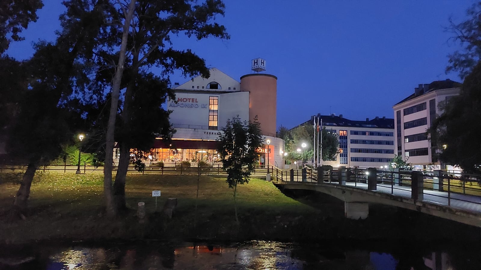
Hotel Alfonso IX
4.1 / 5 1490 reviews
Albergue municipal de peregrinos de Sarria
3.9 / 5 154 reviews
El Rinconcito de dpCristal
4.1 / 5 43 reviews
Pensión Matias Rooms
2.9 / 5 145 reviews

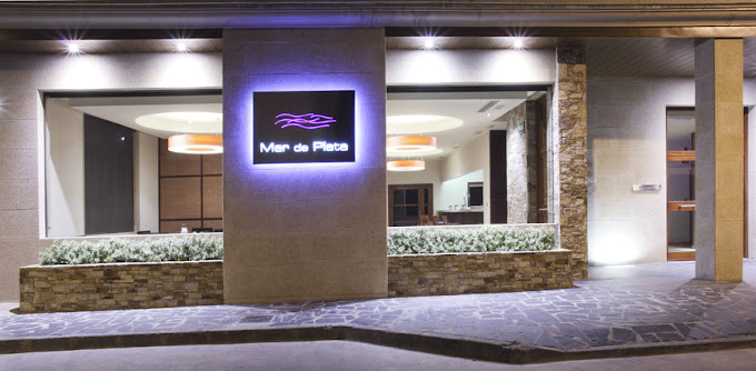
Restaurante Mar de Plata
4.3 / 5 1078 reviews
Pensión Sarria
4.8 / 5 105 reviews

Pensión Río Sarria
4.7 / 5 35 reviews
BAIXO A LUA
5.0 / 5 300 reviews
Pensión Matias Rooms
2.9 / 5 145 reviews
Hostal El Malecón
4.4 / 5 293 reviews
Pensión Credencial
4.6 / 5 11 reviews
Pensión Castineiras
Pension O Camiño
4.7 / 5 69 reviews
Albergue HR
4.2 / 5 94 reviews
dp Centro Histórico
3.7 / 5 19 reviews
Greco 8
casa taboada
4.5 / 5 14 reviews
Pensión Cuatro Caminos
4.7 / 5 74 reviews
Casa-Nova Centro
4.9 / 5 14 reviews
Rúa Nova, 51, 1
0 0
A Travesía Dos Soños, Pedreiras
0 0
Pensión Abeledo
Casa Albergue PTY
Casa albergue Pty
Casa-Nova 2
0 0
Albergue Internacional
4.1 / 5 63 reviews
dpCristal El Rinconcito
Pensión Casa do Gallo Sarria
4.9 / 5 317 reviews
Travesia Rooms
4.7 / 5 110 reviews
Hotel Roma
Casa Solance
4.8 / 5 112 reviews
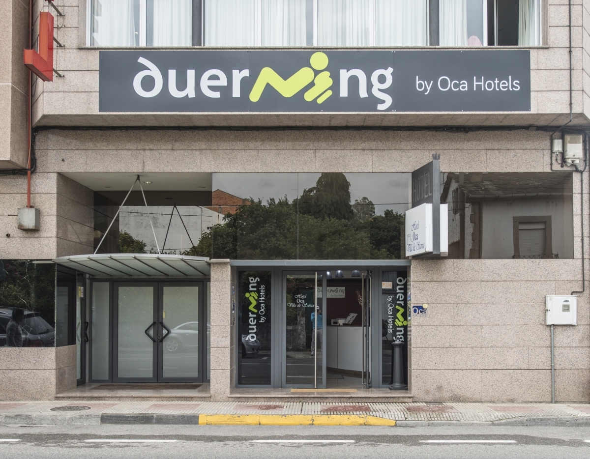
Hotel Duerming Villa de Sarria
4.1 / 5 317 reviews
Pensión Serrano
4.8 / 5 303 reviews
Praza Camelias
4.9 / 5 154 reviews
Hotel Mar de Plata
4.5 / 5 80 reviews
XARDÍN DE ESTRELAS
4.9 / 5 91 reviews
OK The Way- Casa da Escola
0 0