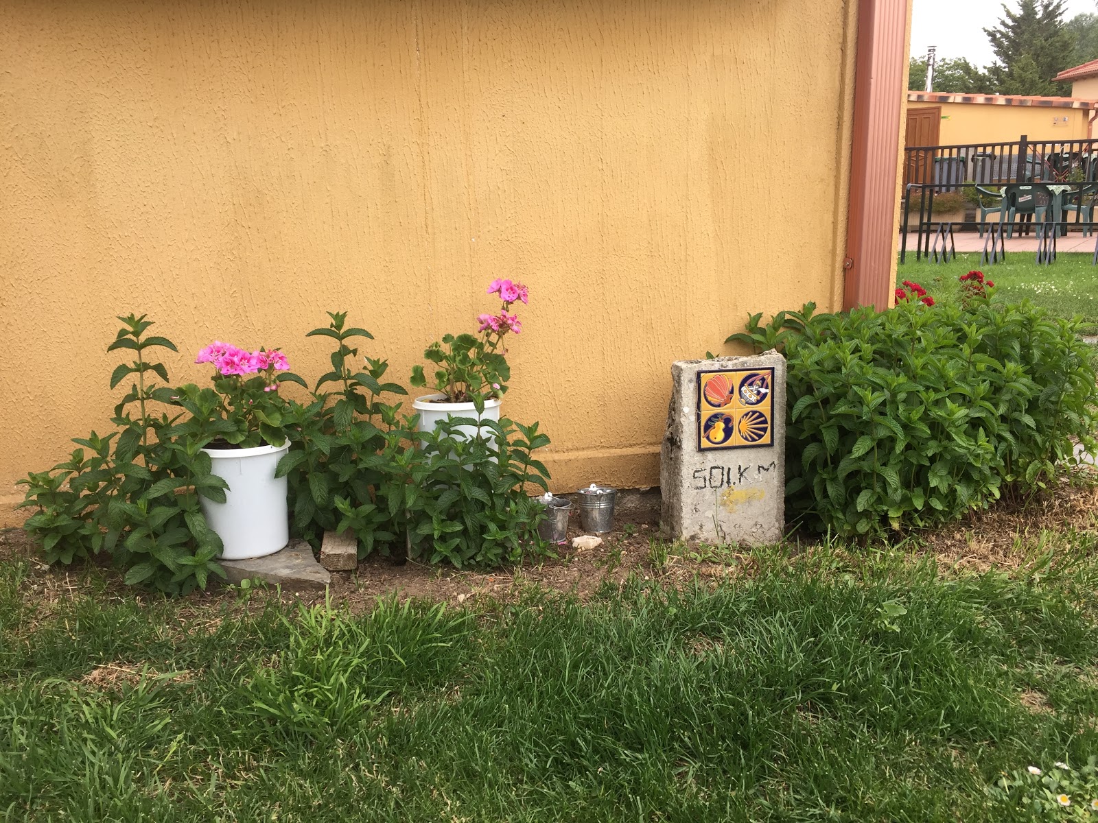
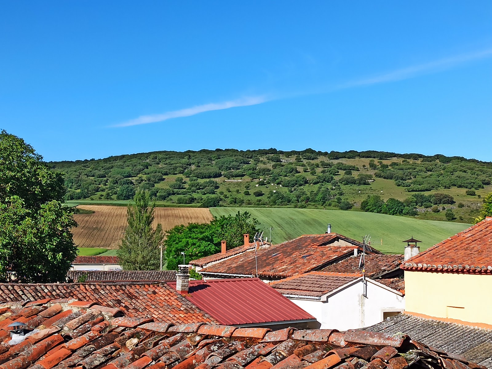
Atapuerca
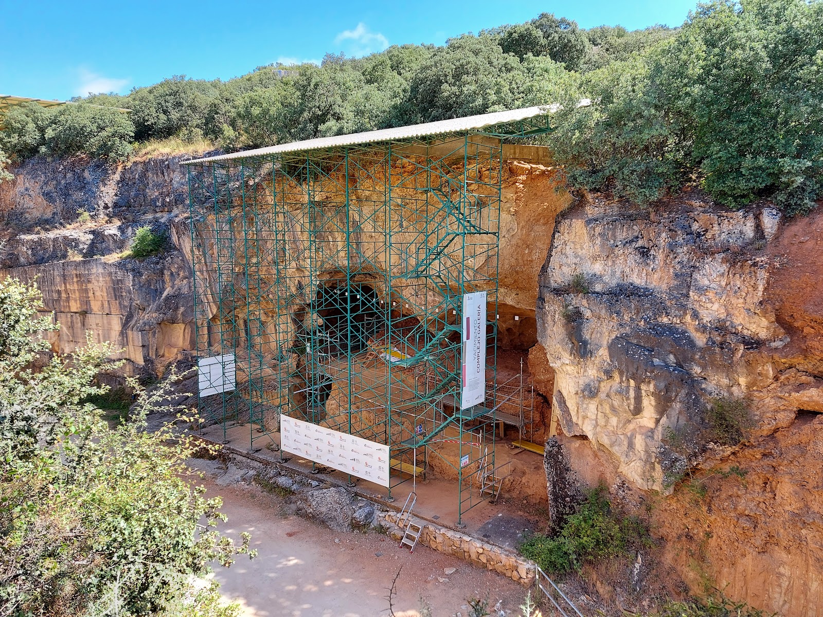
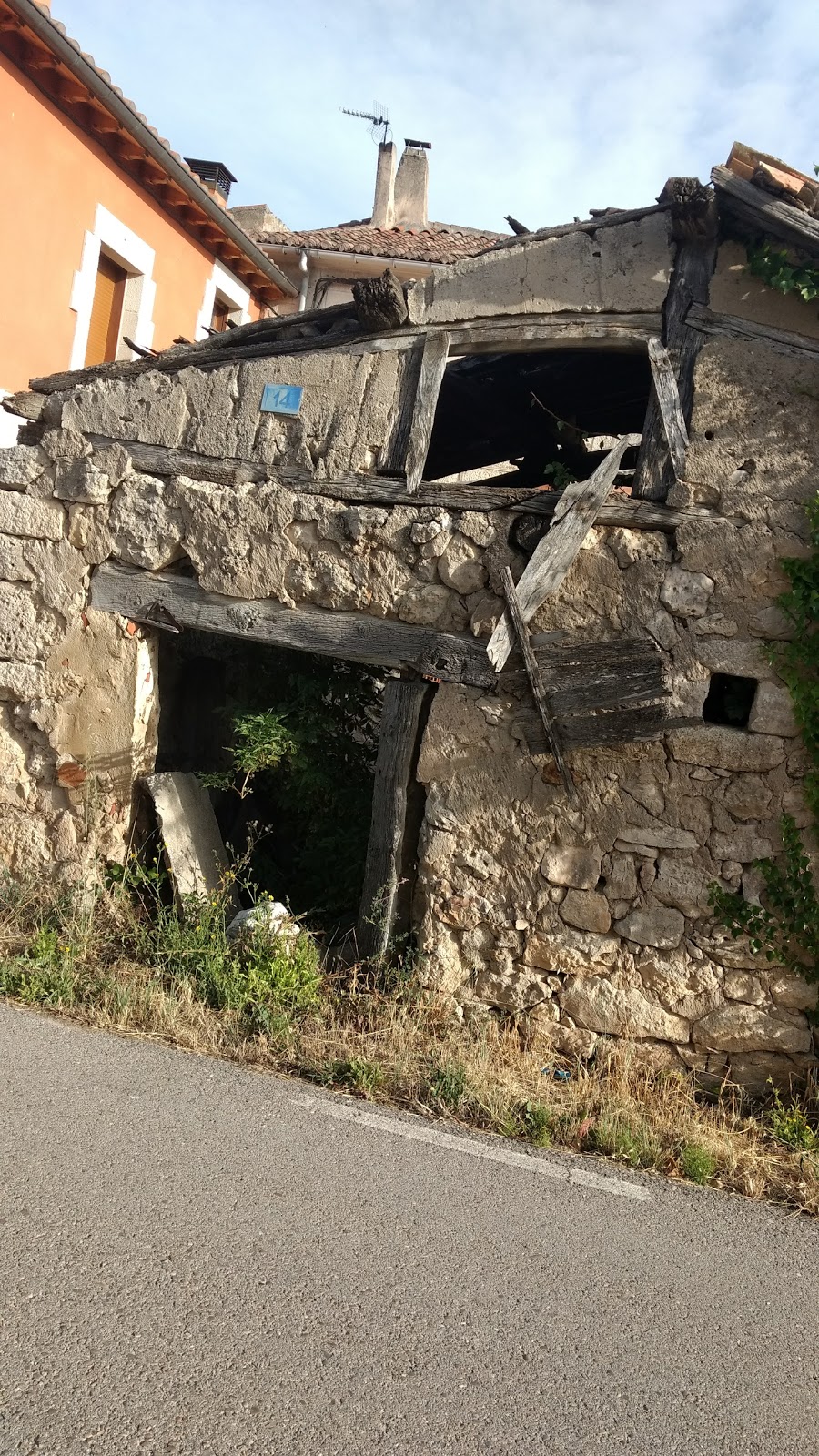
Atapuerca is a small village with significant historical importance. The area is renowned for its archaeological sites, which have provided valuable insights into human evolution. The most famous site is the "Sima de los Huesos" (Pit of Bones), where numerous hominid fossils have been discovered, some dating back over 800,000 years. These findings have contributed to our understanding of early human ancestors and their migration patterns. In the context of the Camino de Santiago, Atapuerca has been a resting point for pilgrims since the Middle Ages. The village's strategic location, nestled between the Montes de Oca and the Sierra de Atapuerca, made it a convenient stop for weary travelers. The Iglesia de San Martín, a 16th-century church, is a notable landmark in the village, offering a glimpse into the religious history of the area. Today, Atapuerca continues to welcome pilgrims, providing essential services and a chance to learn about its fascinating past.
Plan this stage in the app
Turn this route data into a practical day plan with live maps, elevation profiles, and stay planning.
- Track your live location on the route map.
- Check distance and elevation before you start.
- Save your preferred stays and book when ready.

Next on the route
Cardeñuela de Ríopico
Cardeñuela de Ríopico is a small village located in the province of Burgos, Spain. Historically, this locality has been a resting...
Bar / RestaurantFood Shop
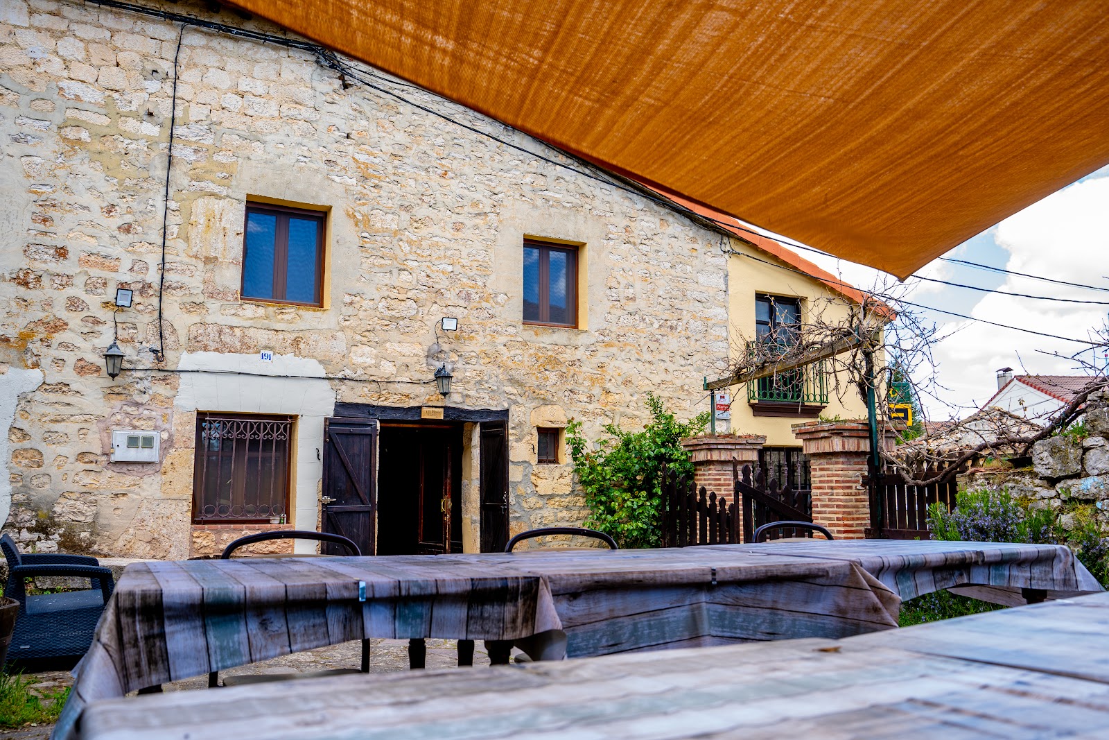
Open Locality Guide Accommodation in Atapuerca
Compare albergues, hostels, pensions, and hotels in this locality, then book or continue planning in the app.

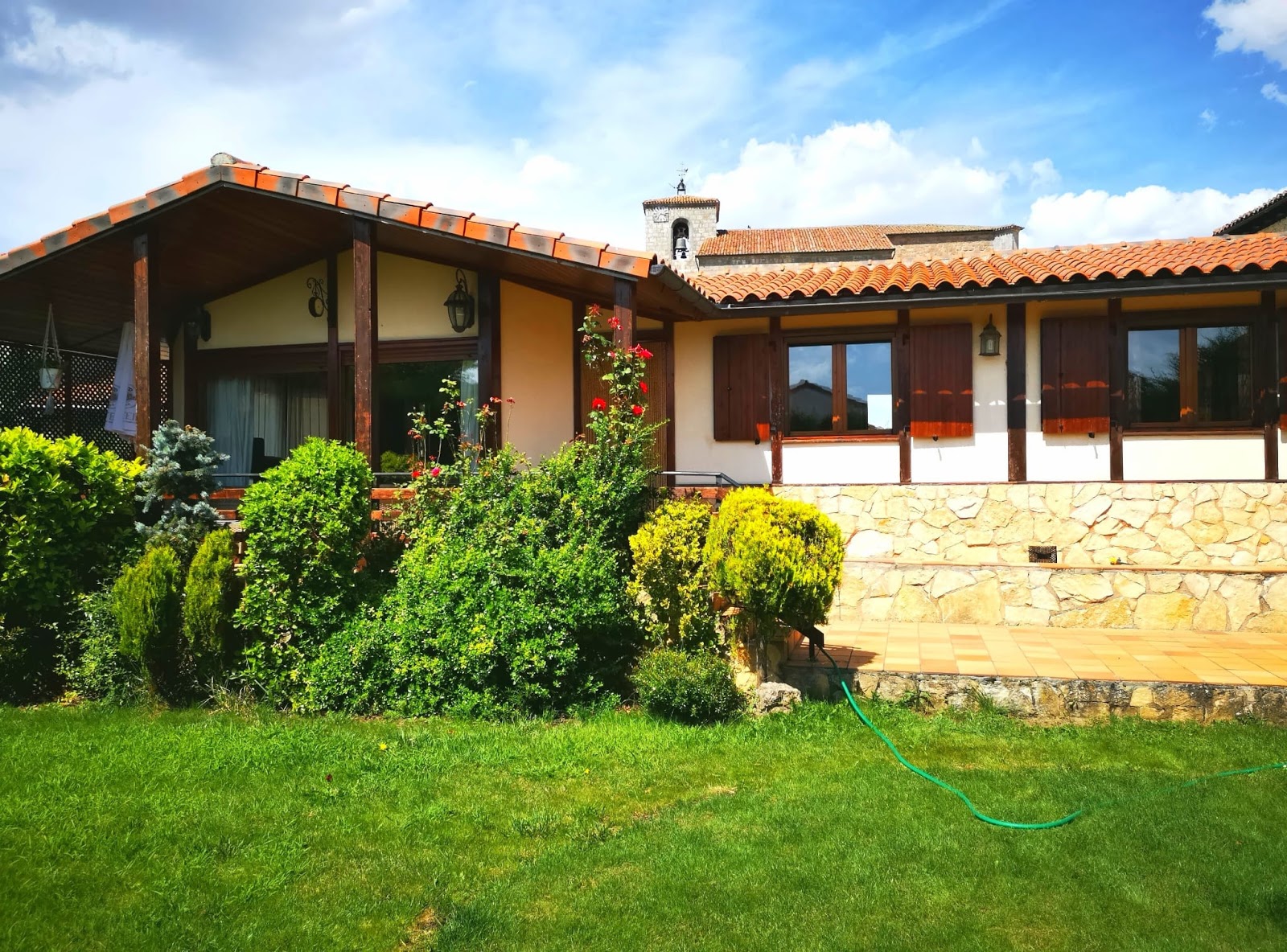
Hotel Rural Papasol
4.1 / 5 349 reviews
Casa Rural Elizalde
4.2 / 5 12 reviews
Casa Rural El Pesebre de Atapuerca
4.2 / 5 70 reviews
Albergue "El Peregrino" Atapuerca
4.5 / 5 100 reviews
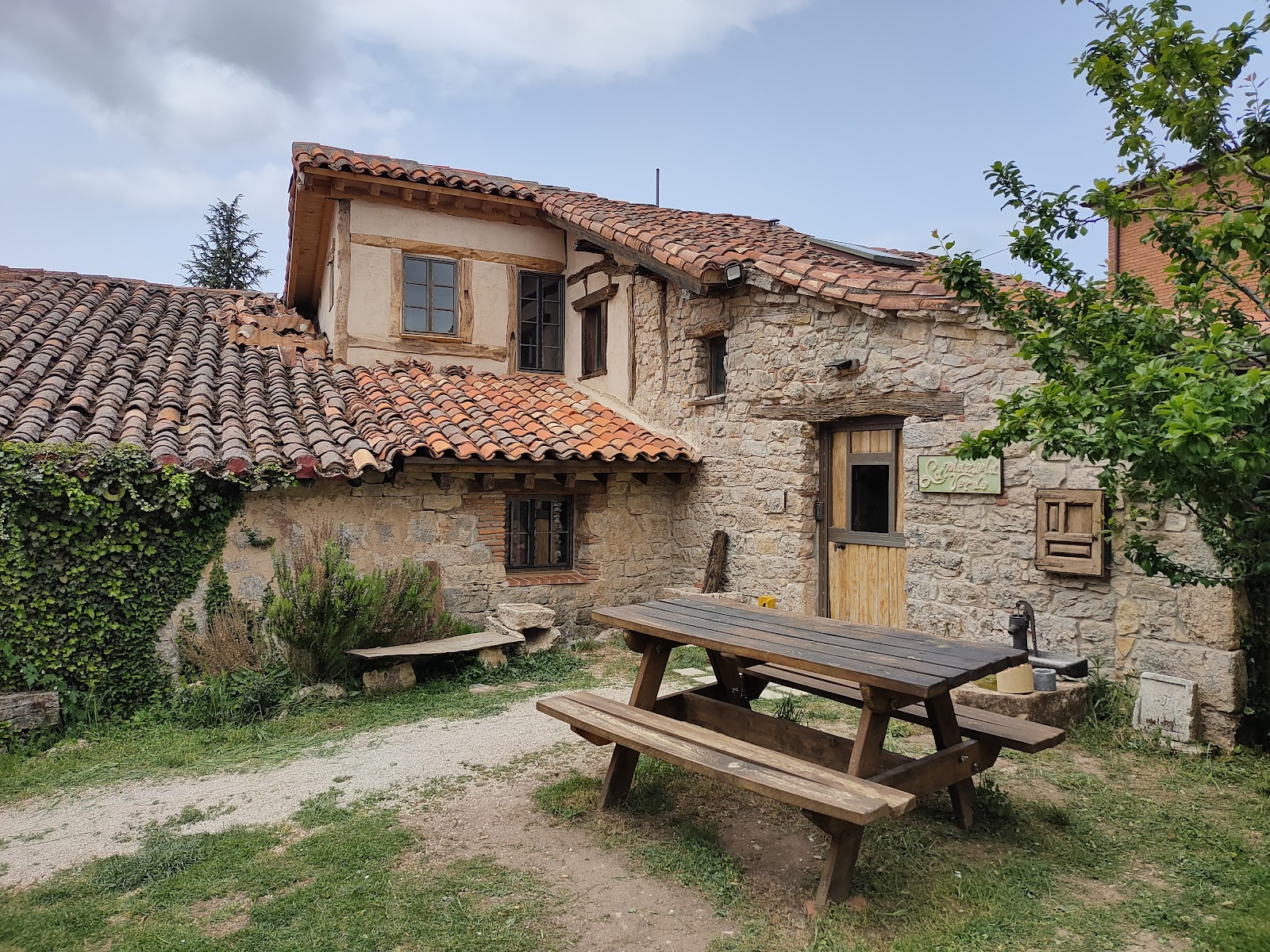
Hostel La Plazuela Verde
4.7 / 5 222 reviews
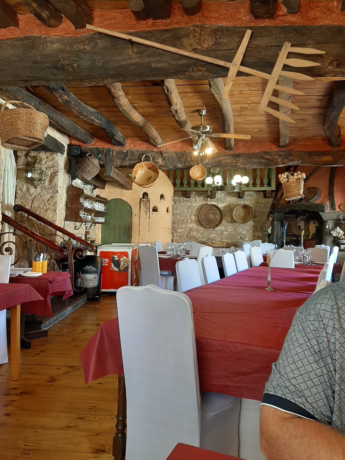
Restaurante El Palomar de Atapuerca
3.6 / 5 121 reviews
Casa Rural Los Nomadas de Atapuerca
3.9 / 5 33 reviews
Casa Rural Atapuerca Sansil
4.7 / 5 20 reviews
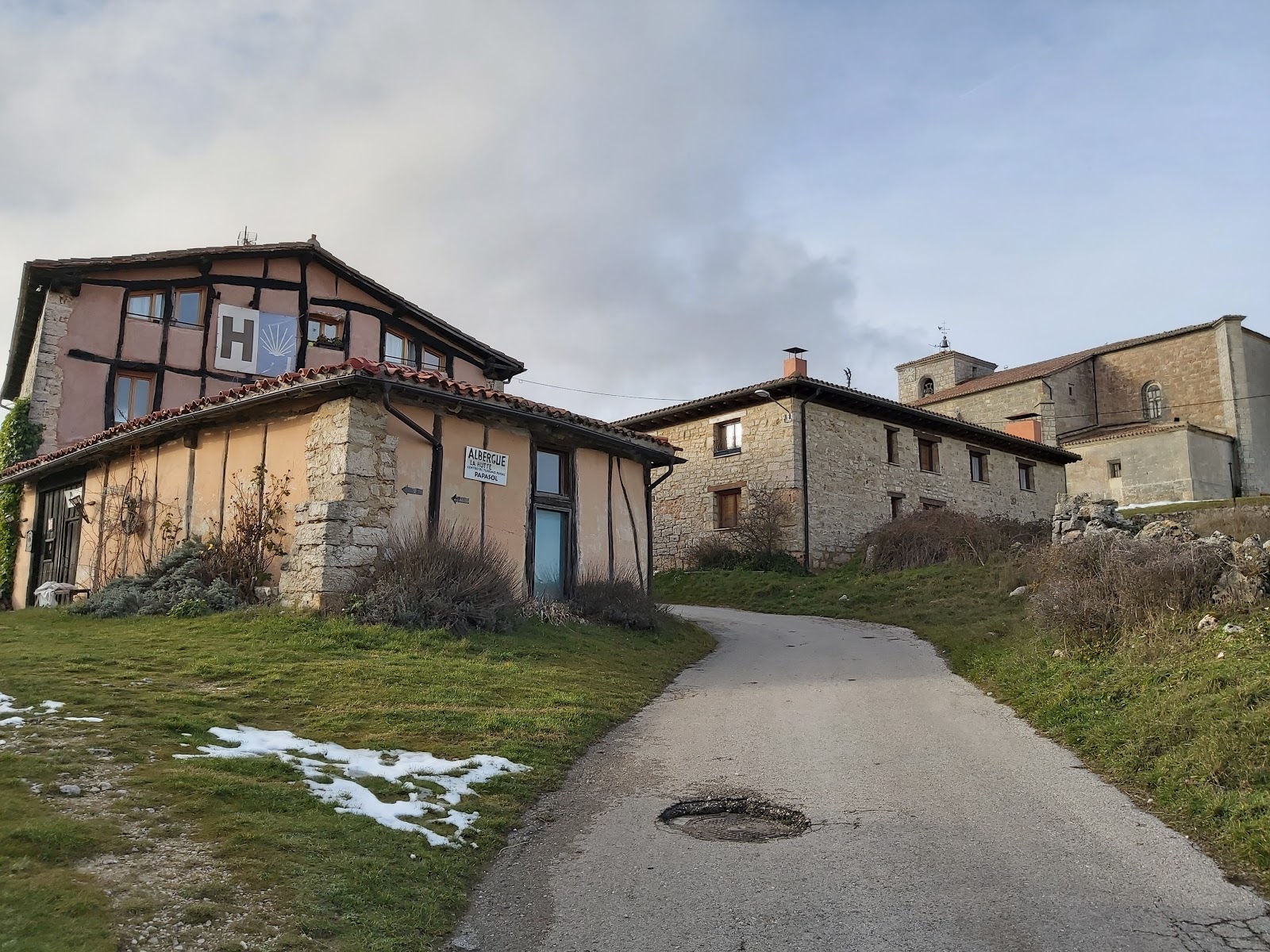
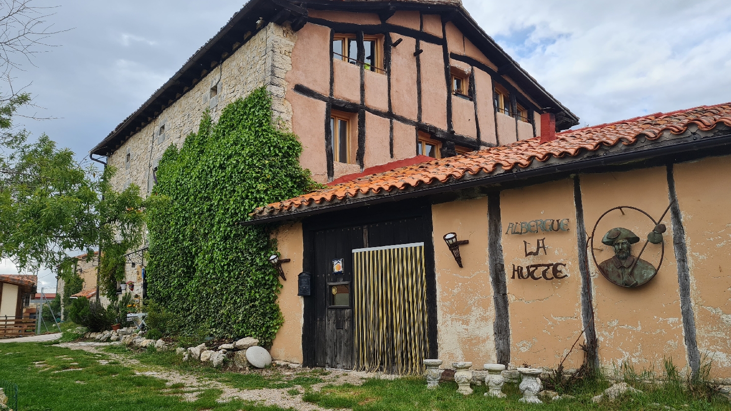
Albergue La Hutte
2.8 / 5 43 reviews
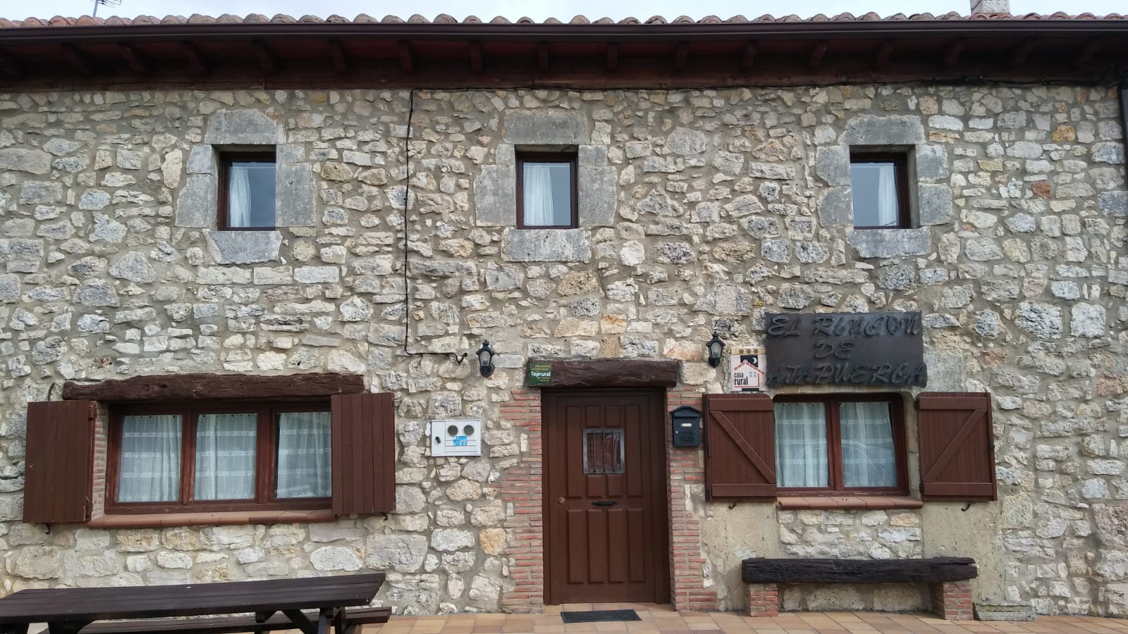
Casa Rural El Rincón de Atapuerca
4.8 / 5 50 reviews
La Turrumbera de Atapuerca. Casa rural
4.6 / 5 17 reviews
INpulse Atapuerca Hostel
4.9 / 5 58 reviews
Hotel Rural Papasol
4.1 / 5 349 reviews