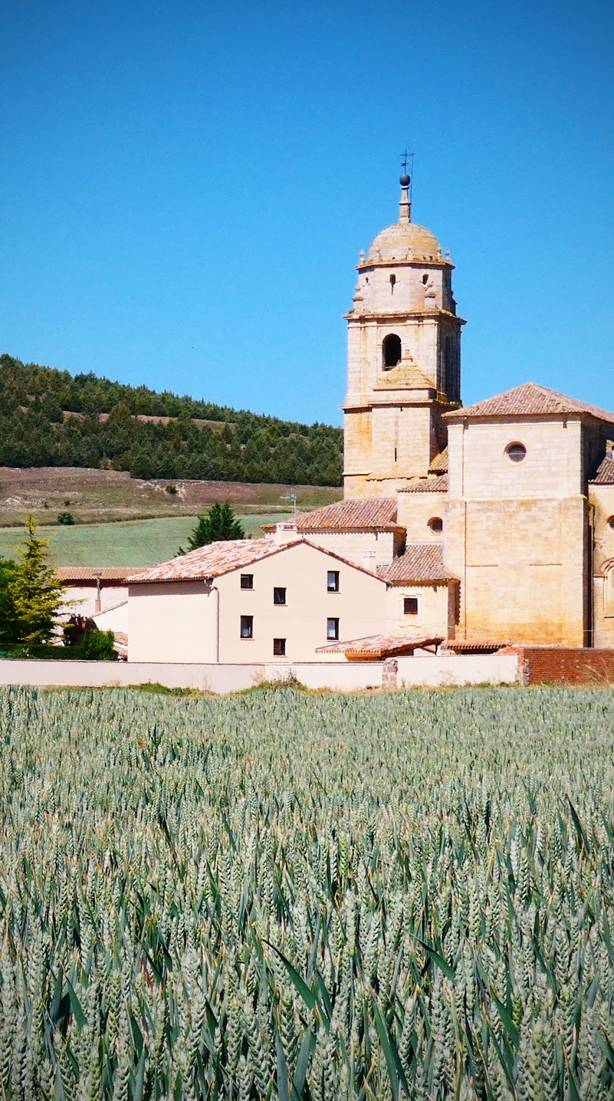
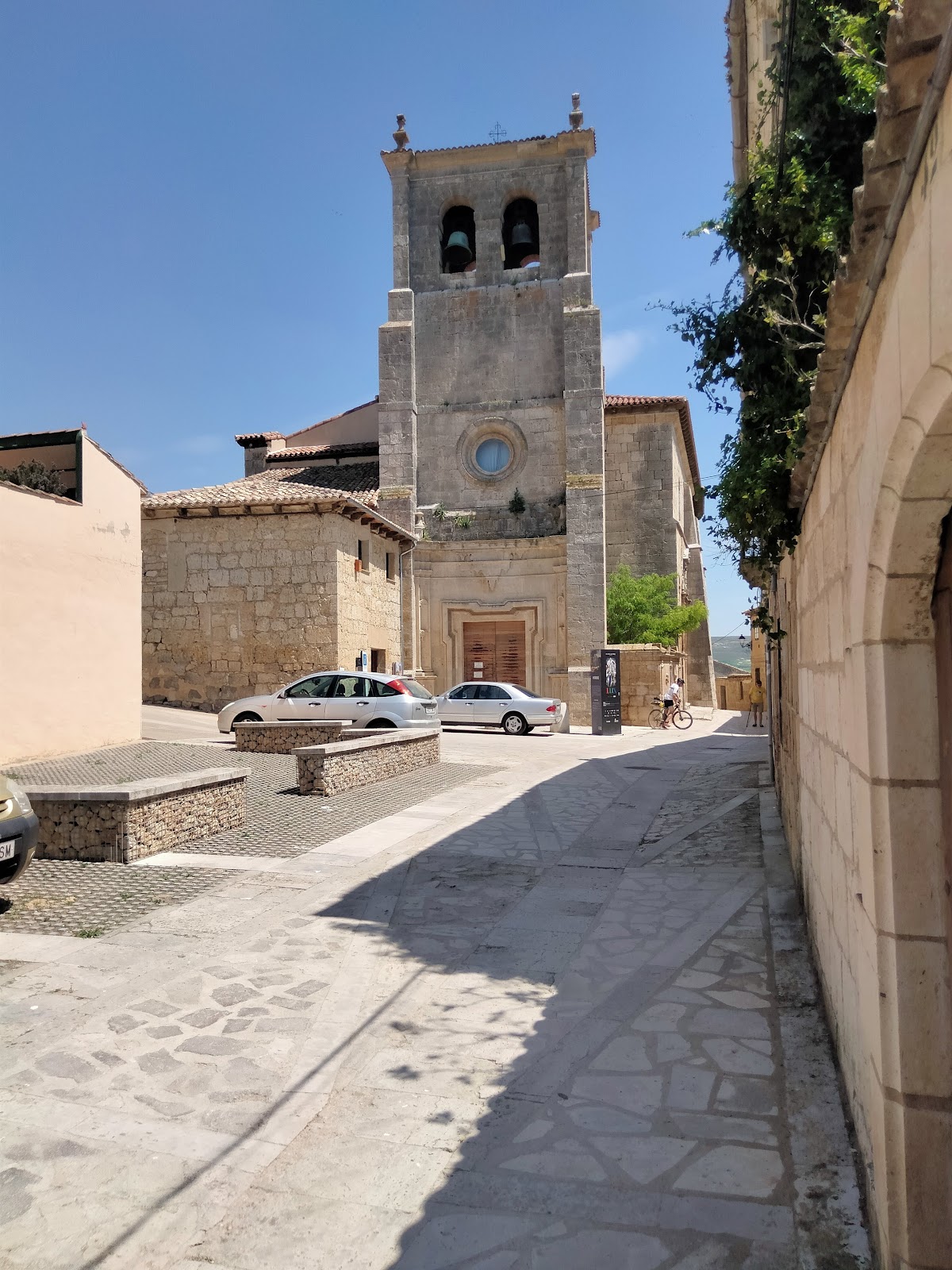
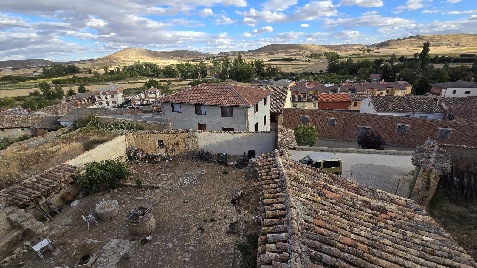
Castrojeriz
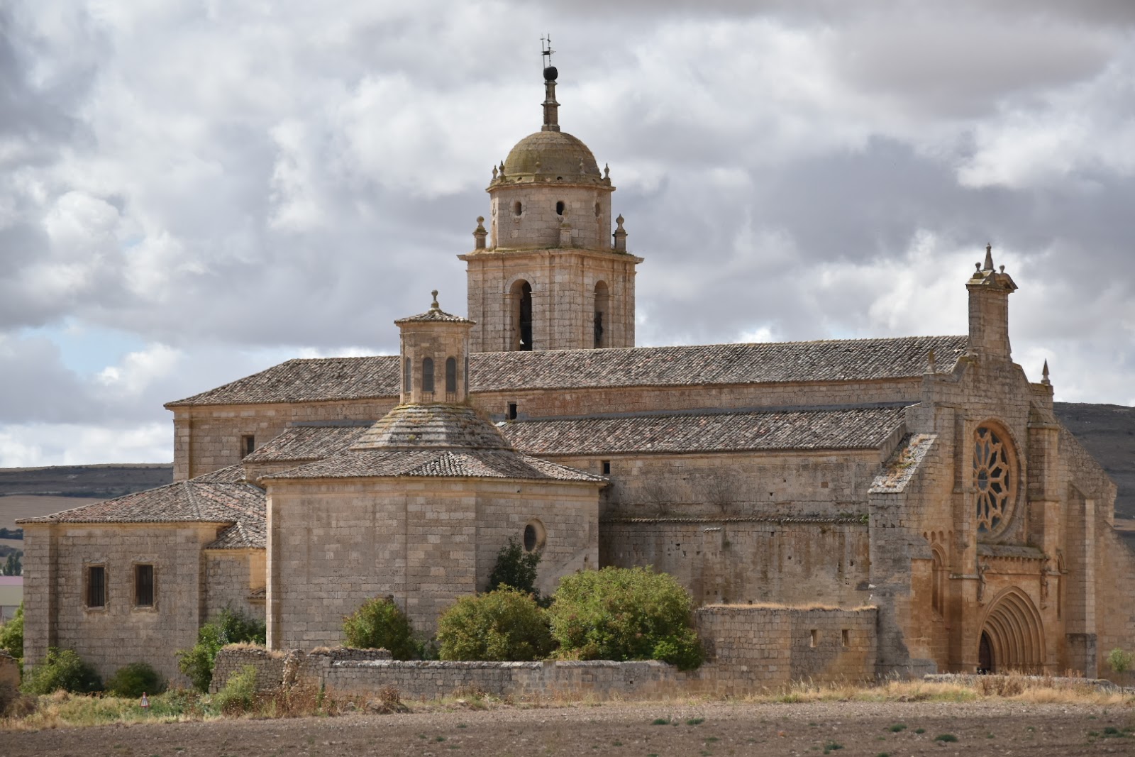
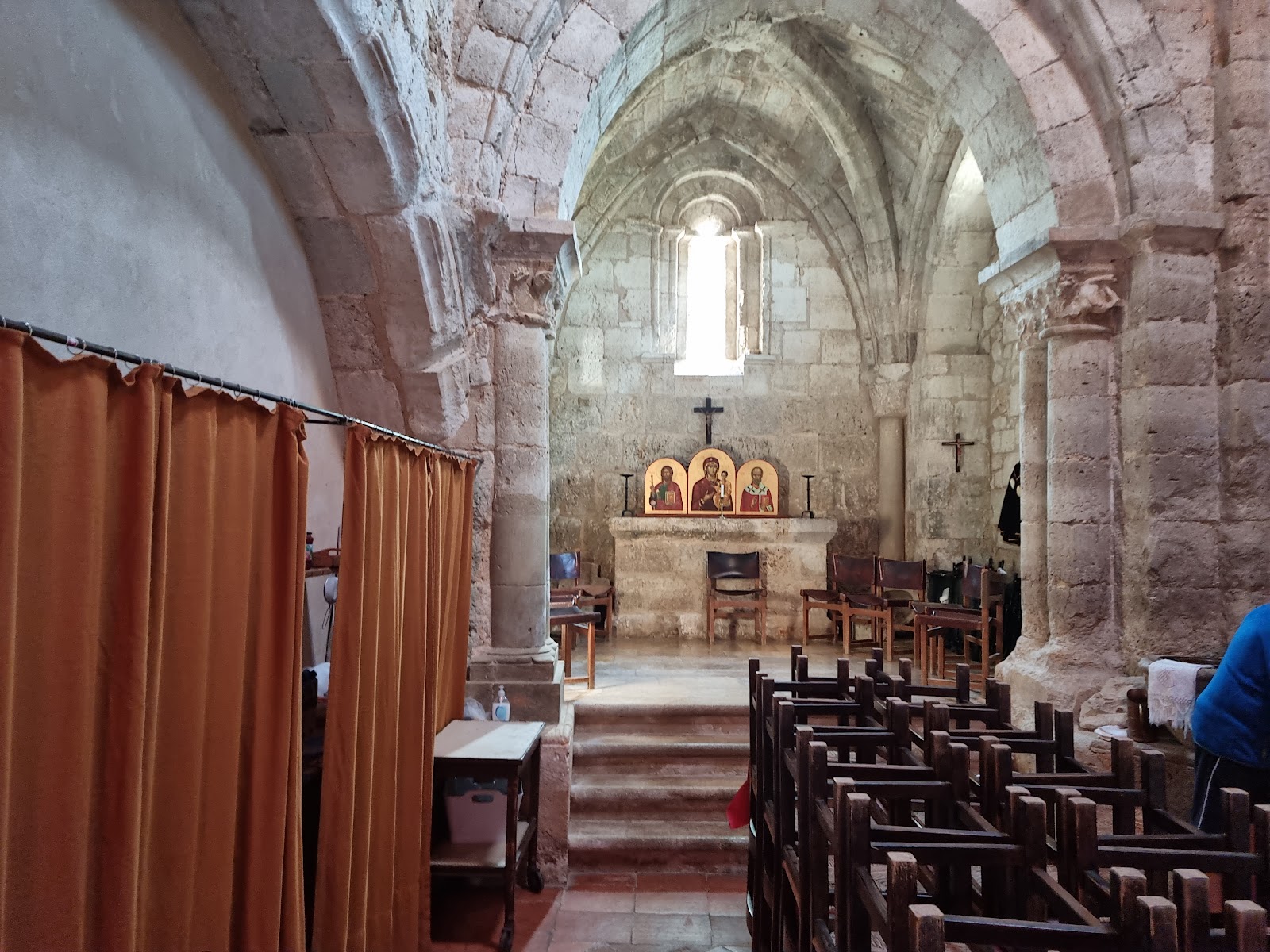
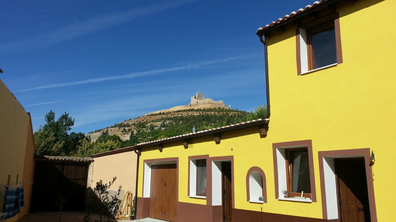
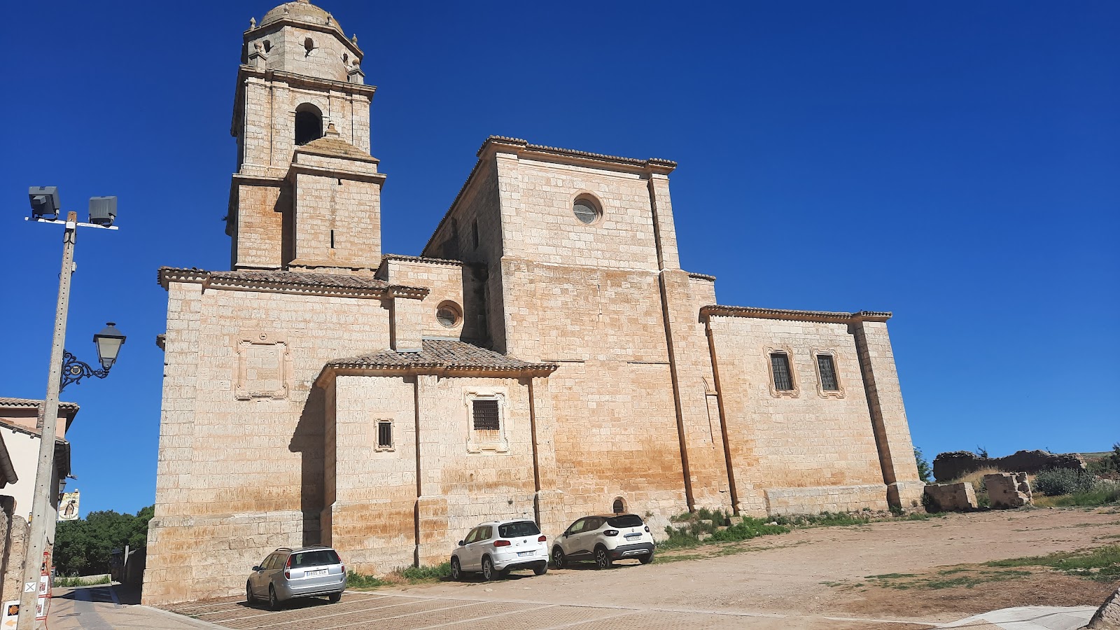
Castrojeriz is a historic locality on the Camino de Frances, known for its rich history and impressive castle ruins. The town dates back to Roman times and was later occupied by the Visigoths and Moors before being reconquered by the Christians in the 9th century. The Castle of Castrojeriz, situated on a hill overlooking the town, was built in the 9th century and played a significant role in defending the area during the Reconquista. Throughout the Middle Ages, Castrojeriz became an important stop for pilgrims on the Camino de Santiago due to its strategic location and the presence of several religious institutions. The Church of Santa María del Manzano, built in the 13th century, is a notable example of Gothic architecture and contains a revered statue of the Virgin Mary. The town also has several other churches and monasteries that served as shelters and hospitals for pilgrims, such as the Convent of San Antón, which was founded in the 12th century by the Order of Saint Anthony.
Plan this stage in the app
Turn this route data into a practical day plan with live maps, elevation profiles, and stay planning.
- Track your live location on the route map.
- Check distance and elevation before you start.
- Save your preferred stays and book when ready.

Next on the route
San Nicolás de Puente Fitero
San Nicolás de Puente Fitero is a small hamlet located near the Fitero Bridge, which crosses the River Íregua. The bridge, also...
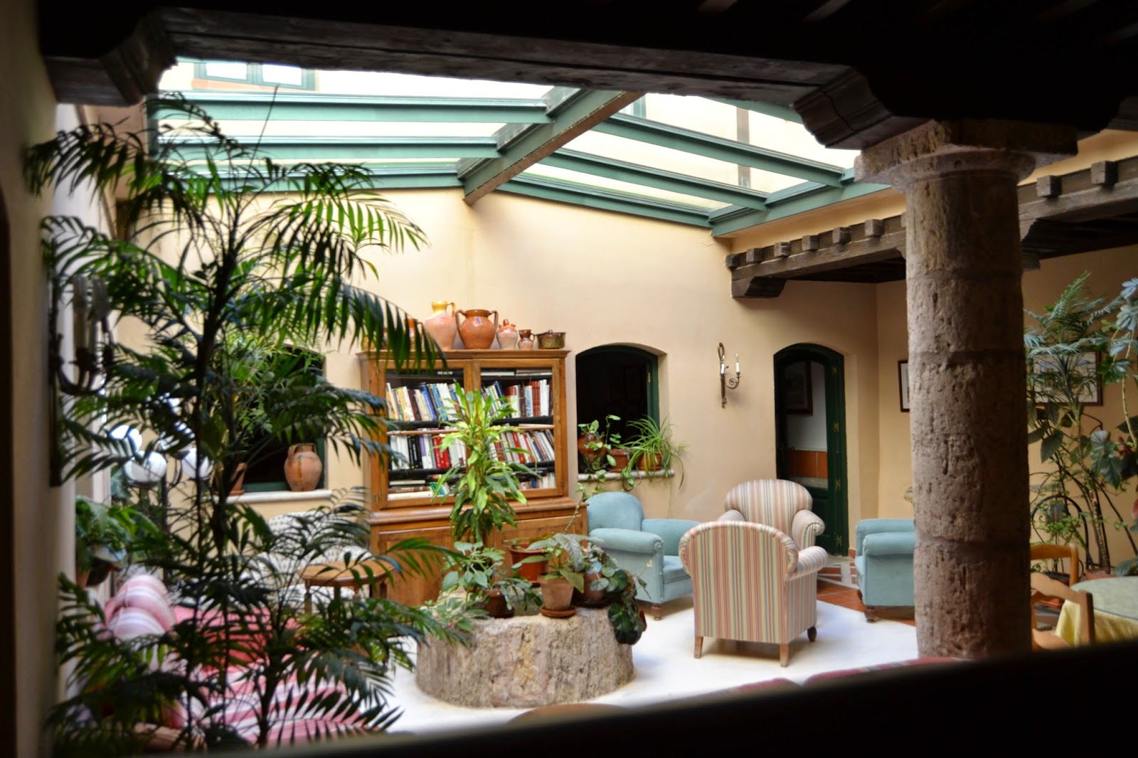
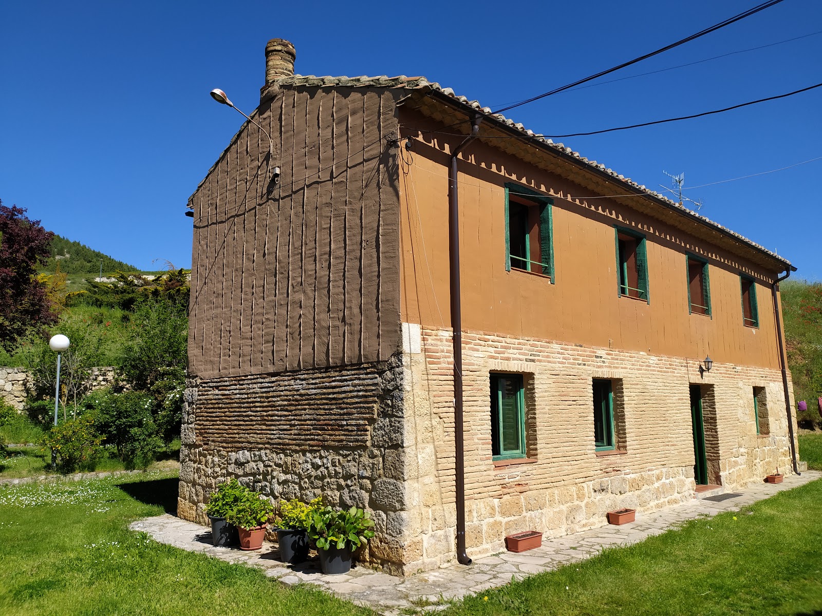
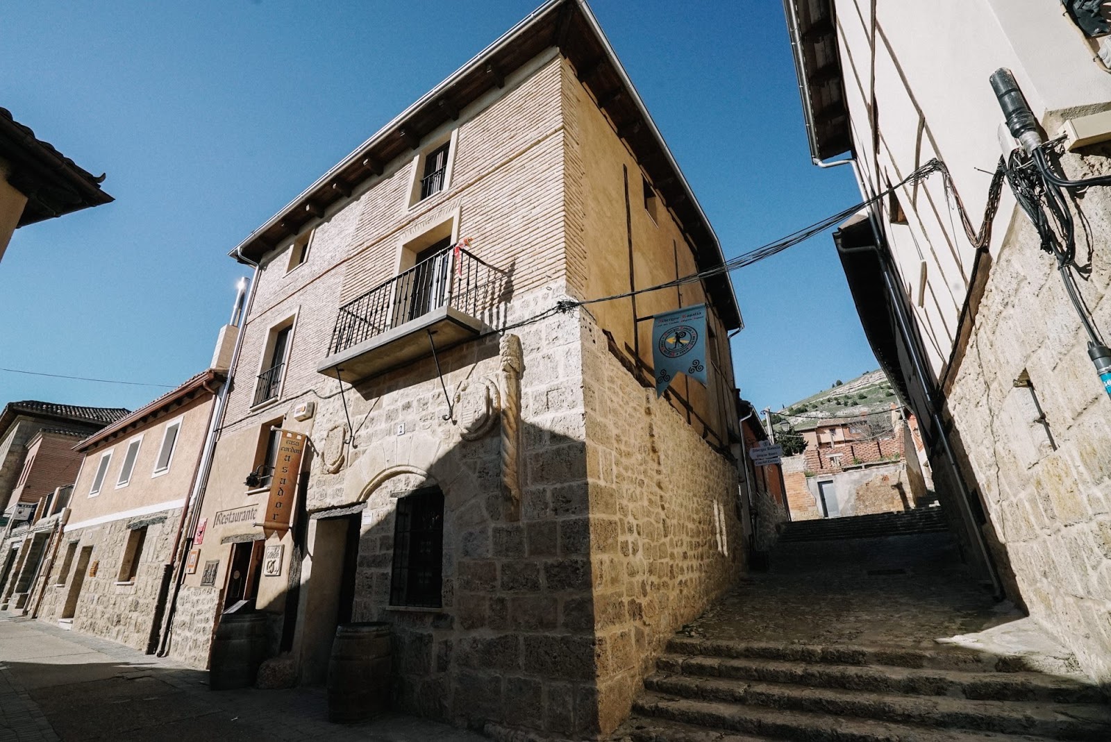
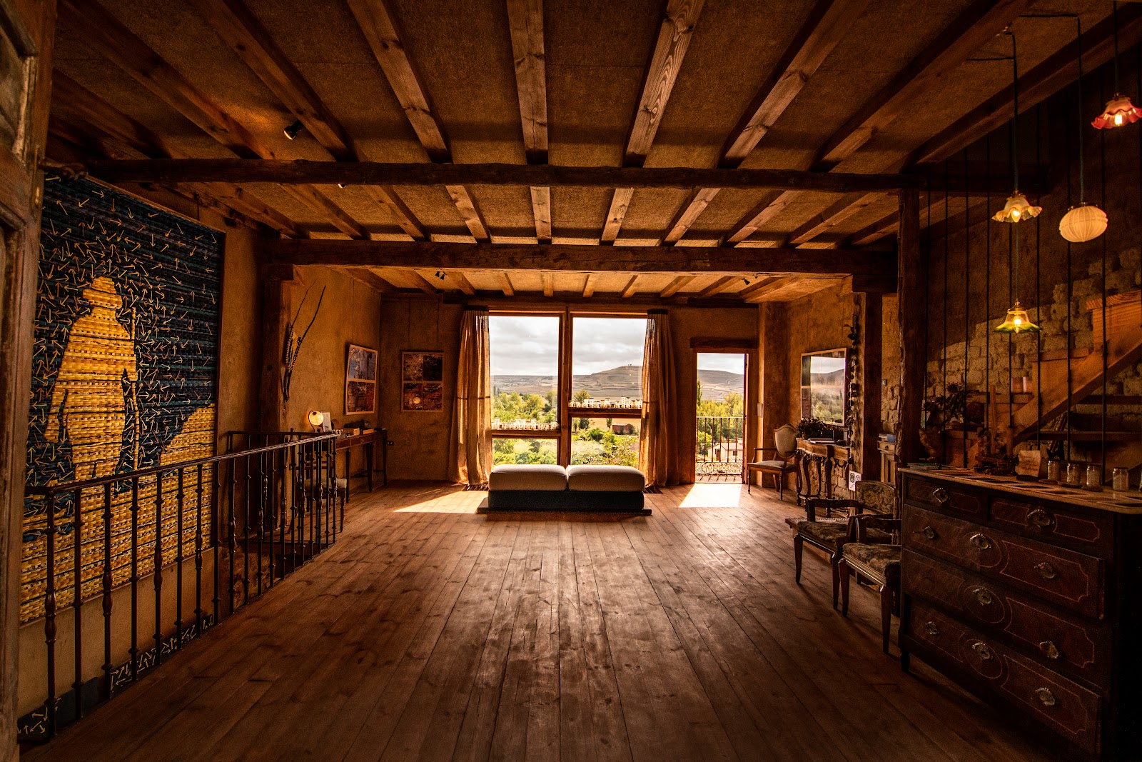
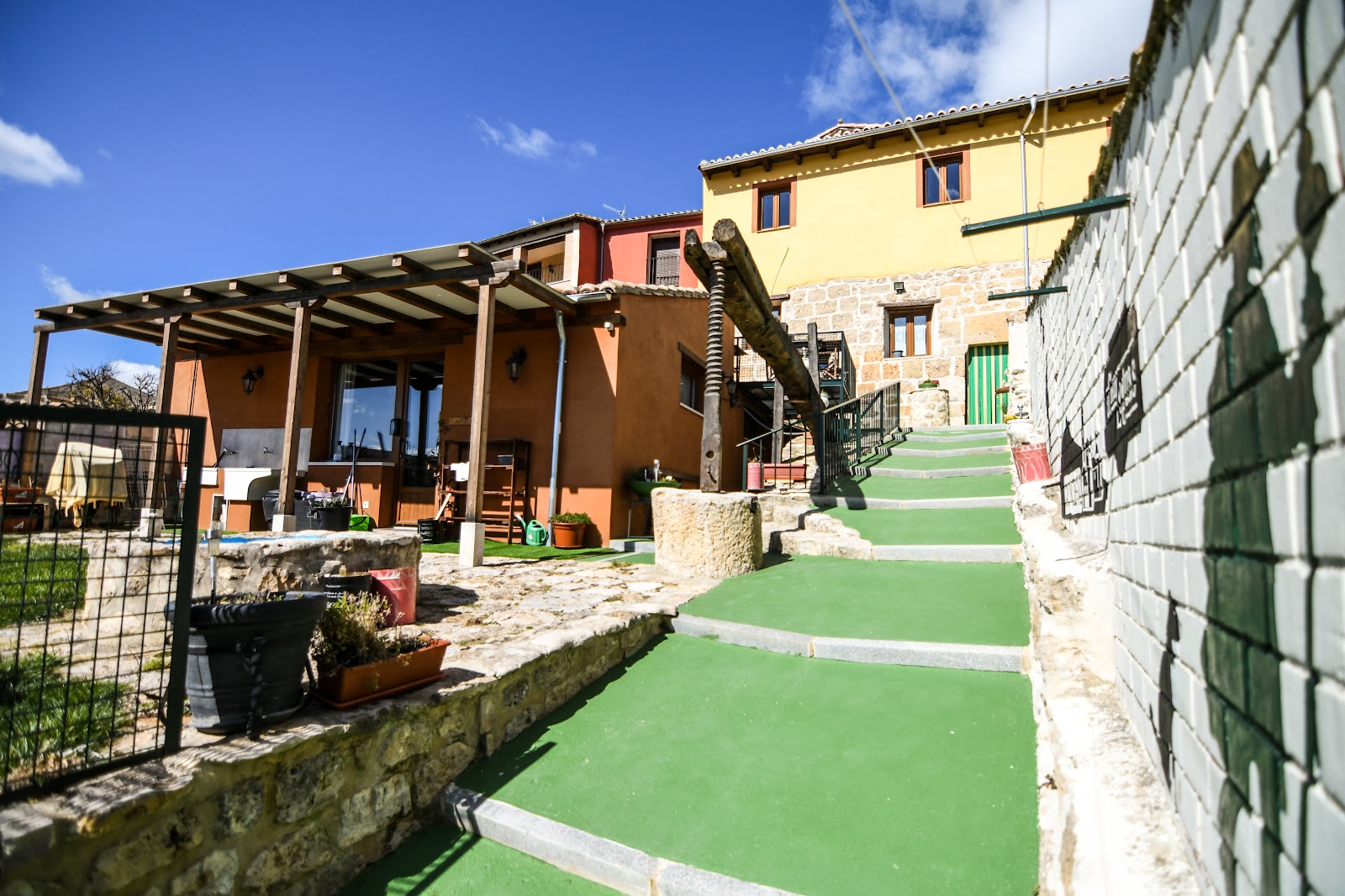
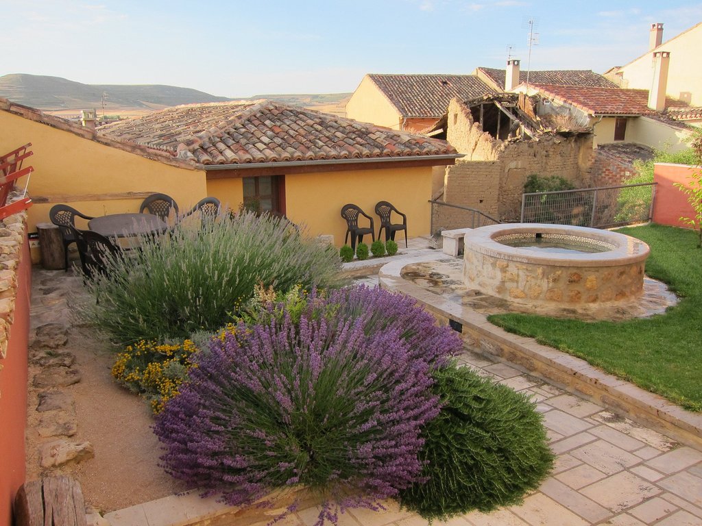
Open Locality GuideAccommodation in Castrojeriz
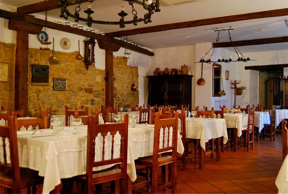
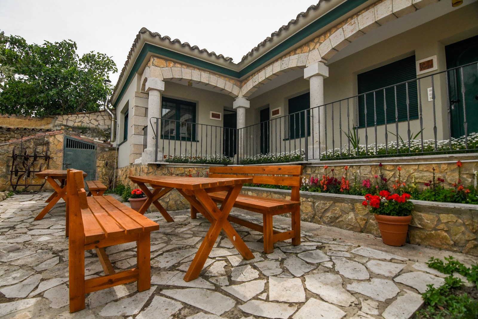
Compare albergues, hostels, pensions, and hotels in this locality, then book or continue planning in the app.
La Posada de Castrojeriz
4.5 / 5 114 reviews
Albergue Orion
4.5 / 5 500 reviews
La Rinconada
4.9 / 5 218 reviews

Emebed Posada
4.8 / 5 84 reviews
Camping Camino de Santiago
4.1 / 5 224 reviews

Casa Rural El Veredero
4.9 / 5 107 reviews
Hostel Rosalia
4.4 / 5 303 reviews
Albergue Casa Nostra
4.0 / 5 92 reviews
Espacio Interior
5.0 / 5 111 reviews

Quinta San Francisco
4.9 / 5 154 reviews
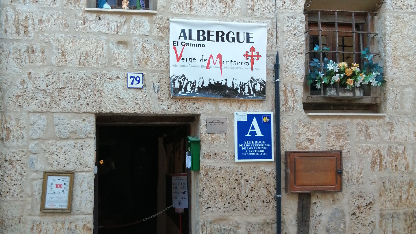
Albergue El camino Verge de Montserrat
4.8 / 5 28 reviews
A Cien Leguas
4.5 / 5 632 reviews
Albergue Ultreia Castrojeriz
4.6 / 5 406 reviews
Hostal Restaurante Iacobus
4.3 / 5 452 reviews
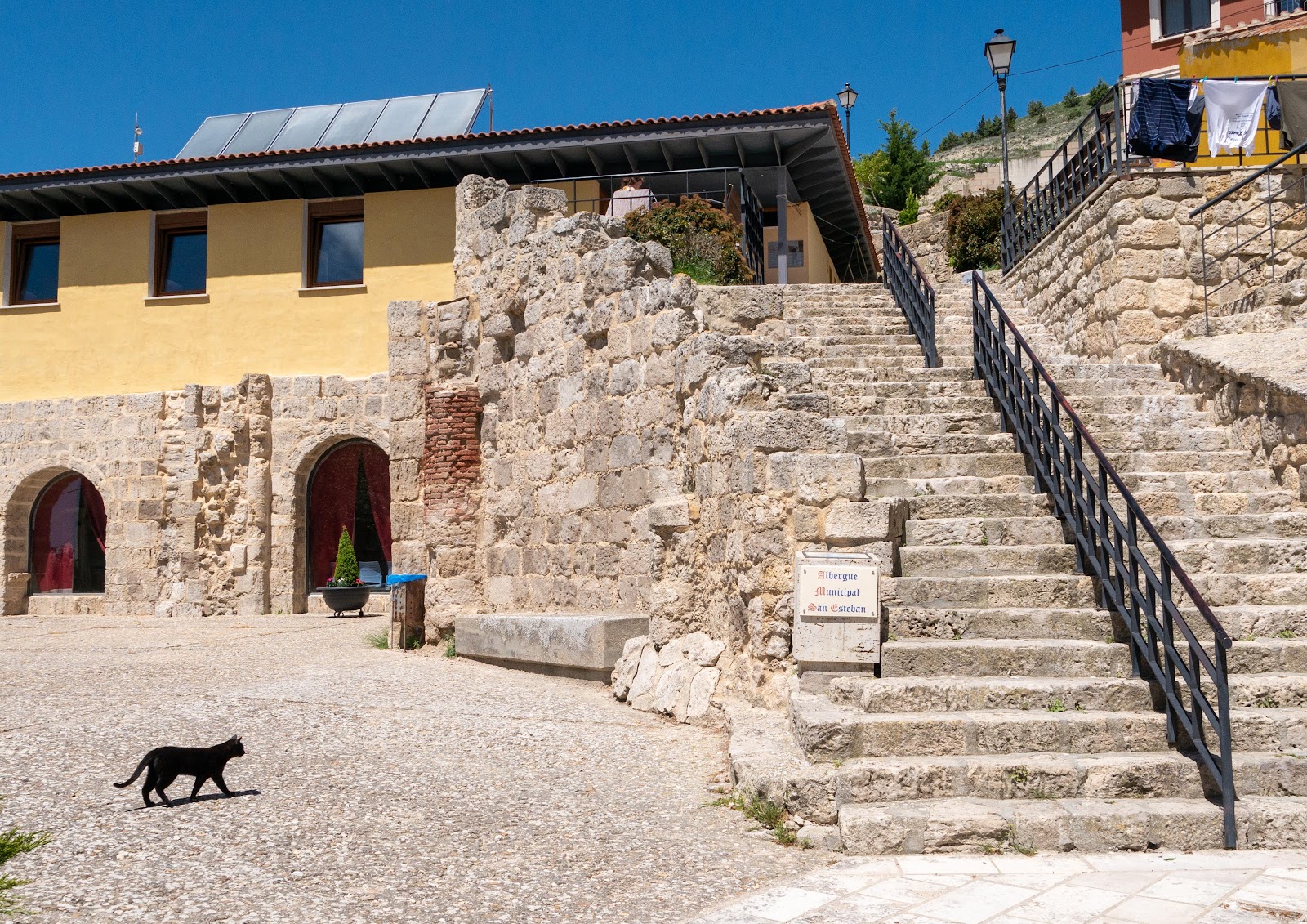
Albergue municipal de peregrinos San Esteban
4.6 / 5 188 reviews
El Mesón de Castrojeriz
4.3 / 5 784 reviews

Albergue Orion
4.5 / 5 500 reviews
Hotel Rural La Cachava
4.4 / 5 56 reviews
El manzano
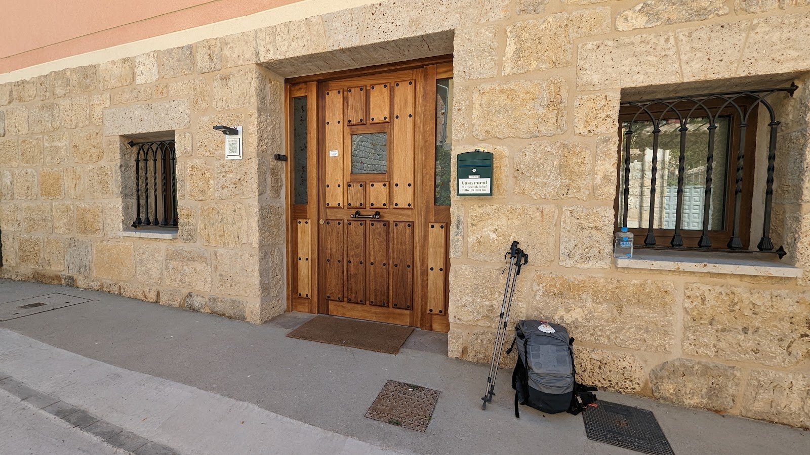
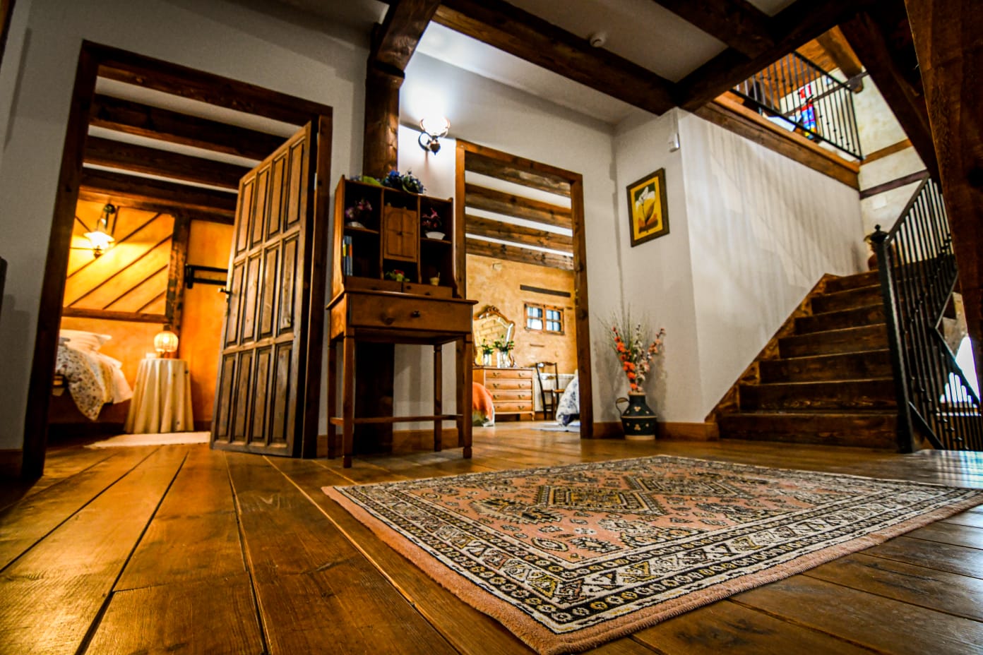
Casa Rural el Rincón del Chef
4.8 / 5 33 reviews
Albergue Rosalia / Pilgrim Hostel
Albergue Casa Nostra
4.0 / 5 92 reviews
Casa Rural La Mora Cantana
4.7 / 5 100 reviews
Casa La Union
Casa Rural el Rincón del Chef
4.8 / 5 33 reviews